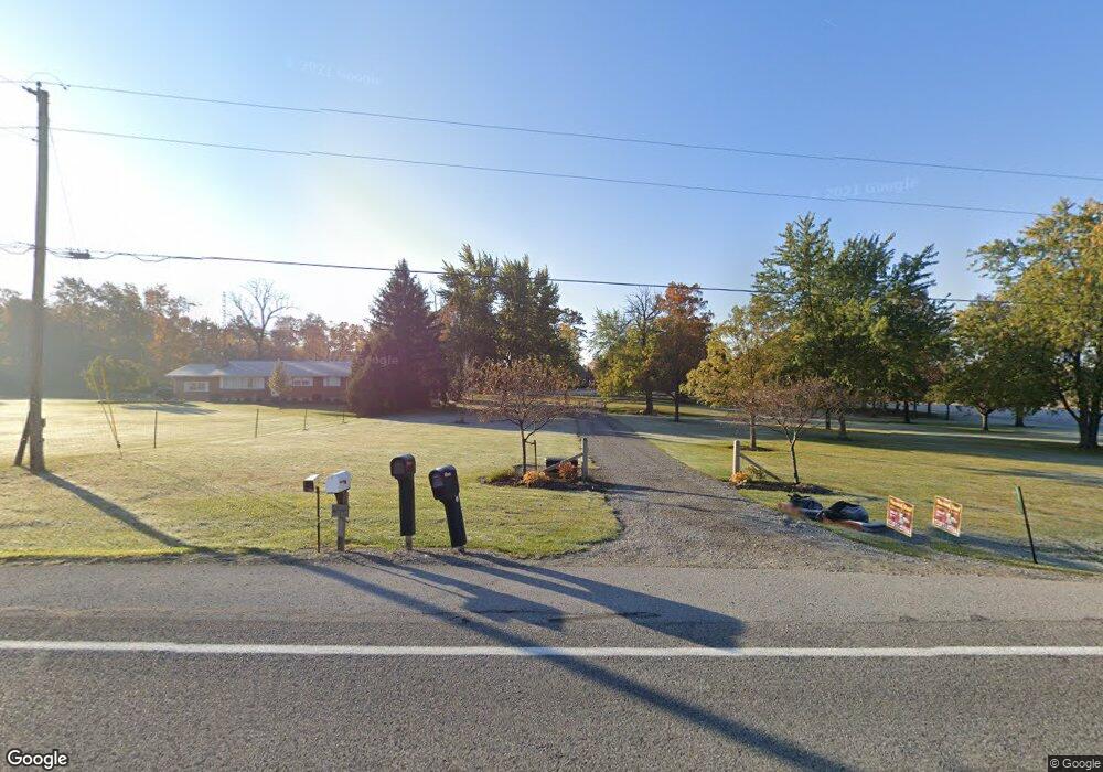
20574 State Route 67 Wapakoneta, OH 45895
Estimated Value: $373,000 - $513,000
3
Beds
2
Baths
2,583
Sq Ft
$177/Sq Ft
Est. Value
About This Home
This home is located at 20574 State Route 67, Wapakoneta, OH 45895 and is currently estimated at $457,575, approximately $177 per square foot. 20574 State Route 67 is a home located in Auglaize County with nearby schools including Wapakoneta Elementary School, Wapakoneta High School, and Wapakoneta Middle School.
Ownership History
Date
Name
Owned For
Owner Type
Purchase Details
Closed on
Feb 22, 2023
Sold by
Meyer Darren L and Meyer Brenda A
Bought by
Meyer Family Trust
Current Estimated Value
Purchase Details
Closed on
Oct 5, 1992
Sold by
Meyer Darren L
Bought by
Meyer Darren L
Purchase Details
Closed on
Nov 1, 1989
Create a Home Valuation Report for This Property
The Home Valuation Report is an in-depth analysis detailing your home's value as well as a comparison with similar homes in the area
Home Values in the Area
Average Home Value in this Area
Purchase History
| Date | Buyer | Sale Price | Title Company |
|---|---|---|---|
| Meyer Family Trust | -- | -- | |
| Meyer Family Trust | -- | None Listed On Document | |
| Meyer Darren L | -- | -- | |
| -- | $32,500 | -- |
Source: Public Records
Tax History Compared to Growth
Tax History
| Year | Tax Paid | Tax Assessment Tax Assessment Total Assessment is a certain percentage of the fair market value that is determined by local assessors to be the total taxable value of land and additions on the property. | Land | Improvement |
|---|---|---|---|---|
| 2024 | $5,811 | $114,510 | $34,230 | $80,280 |
| 2023 | $3,945 | $114,510 | $34,230 | $80,280 |
| 2022 | $5,380 | $104,190 | $28,530 | $75,660 |
| 2021 | $3,887 | $104,190 | $28,530 | $75,660 |
| 2020 | $3,877 | $104,188 | $28,532 | $75,656 |
| 2019 | $3,361 | $87,024 | $23,779 | $63,245 |
| 2018 | $3,225 | $87,024 | $23,779 | $63,245 |
| 2017 | $3,212 | $87,024 | $23,779 | $63,245 |
| 2016 | $2,857 | $77,497 | $20,146 | $57,351 |
| 2015 | $1,442 | $77,497 | $20,146 | $57,351 |
| 2014 | $2,867 | $77,497 | $20,146 | $57,351 |
| 2013 | $1,469 | $72,394 | $15,043 | $57,351 |
Source: Public Records
Map
Nearby Homes
- 20630 State Route 67
- 21015 Fairmount Rd
- 17 E Walnut St
- 80 Main St
- 37 N Main St
- 0 Ohio 67
- 18258 Graham Rd
- 202 W Mulberry St
- 25836 Ohio 67
- 202 Karen St
- 5065 Amherst Rd
- 17946 National Rd
- 17092 Hauss Rd
- 212 S Oak St
- 1805 Huntington Dr
- 1835 Huntington Dr
- 5116 S Dixie Hwy
- 301 North Place
- 306 Shawnee Rd
- 1200 E Breese Rd
- 20777 State Route 67
- 20291 State Route 67
- 20291 Ohio 67
- 20149 Ohio 67
- 20149 State Route 67
- 21084 State Route 67
- 16432 Stiles Rd
- 20120 State Route 67
- 20055 State Route 67
- 16863 Boundry Rd
- 16941 Boundry Rd
- 19966 State Route 67
- 16811 Boundry Rd
- 16633 Bigler Rd
- 16530 Bigler Rd
- 19966 Ohio 67
- 16454 Bigler Rd
- 19891 State Route 67
- 16339 Boundry Rd