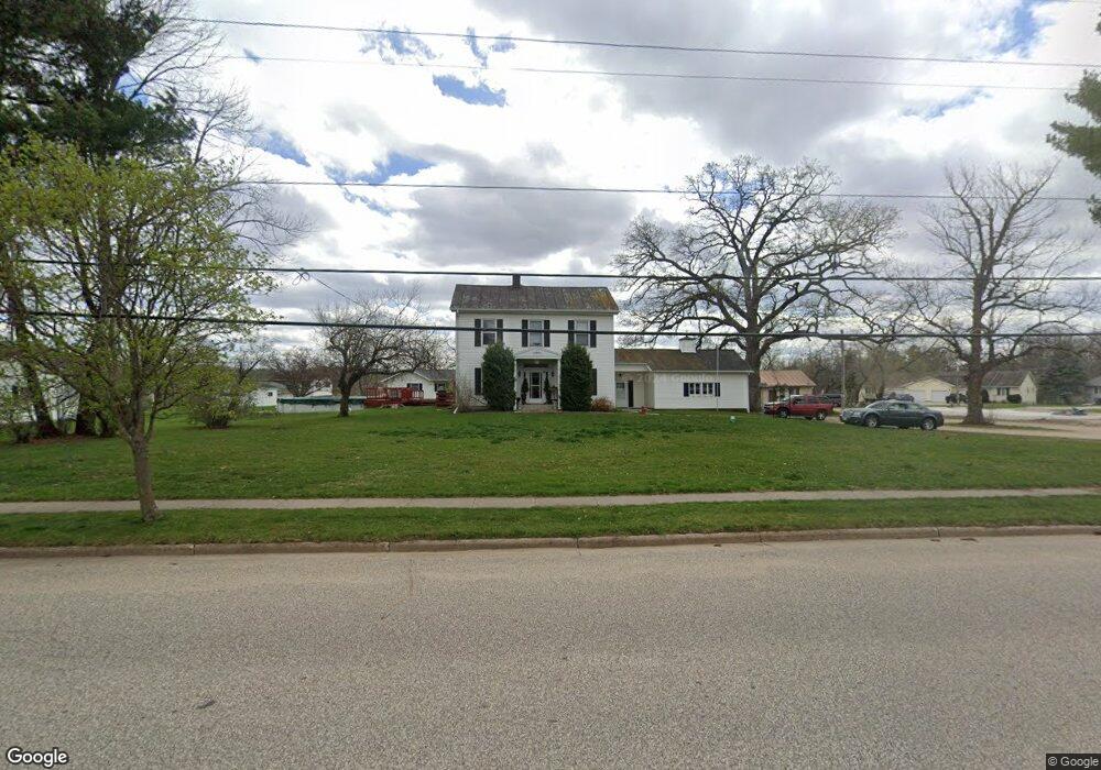
20577 W Gale Ave Galesville, WI 54630
Estimated Value: $216,000 - $369,000
--
Bed
--
Bath
--
Sq Ft
0.69
Acres
About This Home
This home is located at 20577 W Gale Ave, Galesville, WI 54630 and is currently estimated at $286,549. 20577 W Gale Ave is a home located in Trempealeau County with nearby schools including Galesville-Ettrick-Trempealeau High School and Berean Christian School.
Ownership History
Date
Name
Owned For
Owner Type
Purchase Details
Closed on
Sep 6, 2016
Sold by
Truak William R and Oines Rhonda T
Bought by
Perullo Frank L and Truax Petullo Theresa L
Current Estimated Value
Home Financials for this Owner
Home Financials are based on the most recent Mortgage that was taken out on this home.
Original Mortgage
$123,000
Interest Rate
3.54%
Mortgage Type
Commercial
Create a Home Valuation Report for This Property
The Home Valuation Report is an in-depth analysis detailing your home's value as well as a comparison with similar homes in the area
Home Values in the Area
Average Home Value in this Area
Purchase History
| Date | Buyer | Sale Price | Title Company |
|---|---|---|---|
| Perullo Frank L | $154,667 | None Available |
Source: Public Records
Mortgage History
| Date | Status | Borrower | Loan Amount |
|---|---|---|---|
| Previous Owner | Perullo Frank L | $123,000 |
Source: Public Records
Tax History Compared to Growth
Tax History
| Year | Tax Paid | Tax Assessment Tax Assessment Total Assessment is a certain percentage of the fair market value that is determined by local assessors to be the total taxable value of land and additions on the property. | Land | Improvement |
|---|---|---|---|---|
| 2024 | $4,772 | $234,200 | $38,200 | $196,000 |
| 2023 | $5,198 | $234,200 | $38,200 | $196,000 |
| 2022 | $5,356 | $234,200 | $38,200 | $196,000 |
| 2021 | $5,217 | $234,200 | $38,200 | $196,000 |
| 2020 | $4,877 | $50,830 | $38,200 | $12,630 |
| 2019 | $4,985 | $164,500 | $38,200 | $126,300 |
| 2018 | $4,549 | $164,500 | $38,200 | $126,300 |
| 2017 | $5,140 | $164,500 | $38,200 | $126,300 |
| 2016 | $4,105 | $164,500 | $38,200 | $126,300 |
| 2015 | $3,768 | $164,500 | $38,200 | $126,300 |
| 2014 | $3,728 | $164,500 | $38,200 | $126,300 |
| 2011 | $3,815 | $169,100 | $38,200 | $130,900 |
Source: Public Records
Map
Nearby Homes
- 16771 S 15th St
- 20153 Hammer Ave
- 0 N 4th St
- 20278 Bibby St
- XXX N 4th St
- 20054 W Mill Rd
- 20027 W Mill Rd
- 16648 S Main St
- 000 Bluestem Ln
- N16450 Hilltop Ln
- Lot 19 Presley Ln
- N18078 County Road T
- 21572 Somerset Downs Ln
- 21584 Somerset Downs Ln
- N15088 Hogden Rd
- Lot 12 Cherub Ct
- Lot 11 Cherub Ct
- N15531 U S 53
- W20479 Brenegan Ln
- 0 County Hwy K - Unit 1919593
- 20582 Quinn Rd
- 20555 W Gale Ave
- 20582 W Gale St St
- 20574 W Gale Ave
- 20592 W Gale Ave
- 20592 W Gale Ave
- 20592 W Gale Ave
- 20645 W Gale Ave
- 20614 W Gale Ave
- 20614 W Gale Ave
- 20560 W Gale Ave
- 20547 W Gale Ave
- 20651 W Gale Ave
- 20534 W Gale Ave
- 20578 Quinn Rd
- 20636 W Gale Ave
- 16771 S 10th St
- 20653 W Gale Ave
- 20551 W Gale Ave
- 20587 Quinn Rd