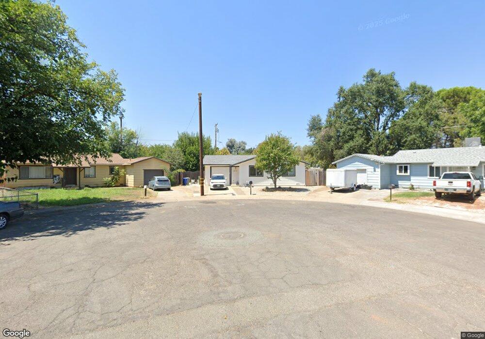
2058 Deimos Ct Unit 1 Redding, CA 96002
Starview NeighborhoodEstimated Value: $269,000 - $293,000
3
Beds
1
Bath
928
Sq Ft
$299/Sq Ft
Est. Value
About This Home
This home is located at 2058 Deimos Ct Unit 1, Redding, CA 96002 and is currently estimated at $277,874, approximately $299 per square foot. 2058 Deimos Ct Unit 1 is a home located in Shasta County with nearby schools including Alta Mesa Elementary School, Parsons Junior High School, and Enterprise High School.
Ownership History
Date
Name
Owned For
Owner Type
Purchase Details
Closed on
Jan 31, 2025
Sold by
Lewandowski Daniel B
Bought by
Nichols Rebecca E
Current Estimated Value
Home Financials for this Owner
Home Financials are based on the most recent Mortgage that was taken out on this home.
Original Mortgage
$286,060
Outstanding Balance
$284,296
Interest Rate
6.72%
Mortgage Type
VA
Estimated Equity
-$6,422
Purchase Details
Closed on
Nov 16, 2021
Sold by
Lewandowski Tiffany
Bought by
Lewandowski Daniel B
Home Financials for this Owner
Home Financials are based on the most recent Mortgage that was taken out on this home.
Original Mortgage
$175,000
Interest Rate
2.99%
Mortgage Type
New Conventional
Purchase Details
Closed on
Apr 4, 2013
Sold by
Secretary Of Housing & Urban Development
Bought by
Lewandowski Daniel B
Home Financials for this Owner
Home Financials are based on the most recent Mortgage that was taken out on this home.
Original Mortgage
$109,250
Interest Rate
3.51%
Mortgage Type
New Conventional
Purchase Details
Closed on
Dec 13, 2012
Sold by
Dennis Christal L
Bought by
Jpmorgan Chase Bank National Association
Purchase Details
Closed on
Dec 12, 2012
Sold by
Jpmorgan Chase Bank National Association
Bought by
Secretary Of Housing & Urban Development
Purchase Details
Closed on
Feb 19, 2009
Sold by
Macfarland Michael S and Macfarland Laura S
Bought by
Dennis Christal L
Home Financials for this Owner
Home Financials are based on the most recent Mortgage that was taken out on this home.
Original Mortgage
$117,012
Interest Rate
4.91%
Mortgage Type
FHA
Purchase Details
Closed on
Feb 26, 2007
Sold by
Foster Virginia H and Taylor Janice E
Bought by
Macfarland Michael S and Macfarland Laura S
Purchase Details
Closed on
Jul 21, 1997
Sold by
Laizure Charles C and Laizure Tammy
Bought by
Foster Virginia H and Taylor Janice E
Create a Home Valuation Report for This Property
The Home Valuation Report is an in-depth analysis detailing your home's value as well as a comparison with similar homes in the area
Home Values in the Area
Average Home Value in this Area
Purchase History
| Date | Buyer | Sale Price | Title Company |
|---|---|---|---|
| Nichols Rebecca E | $286,500 | First American Title | |
| Lewandowski Daniel B | -- | Fidelity Natl Ttl Co Of Ca | |
| Lewandowski Daniel B | -- | Fidelity Natl Ttl Co Of Ca | |
| Lewandowski Daniel B | $115,000 | Chicago Title Company | |
| Jpmorgan Chase Bank National Association | $125,483 | None Available | |
| Secretary Of Housing & Urban Development | -- | None Available | |
| Dennis Christal L | $166,000 | Placer Title Company | |
| Macfarland Michael S | $70,000 | Chicago Title Co | |
| Foster Virginia H | $63,000 | Chicago Title Co |
Source: Public Records
Mortgage History
| Date | Status | Borrower | Loan Amount |
|---|---|---|---|
| Open | Nichols Rebecca E | $286,060 | |
| Previous Owner | Lewandowski Daniel B | $175,000 | |
| Previous Owner | Lewandowski Daniel B | $109,250 | |
| Previous Owner | Dennis Christal L | $117,012 | |
| Closed | Macfarland Michael S | $0 |
Source: Public Records
Tax History
| Year | Tax Paid | Tax Assessment Tax Assessment Total Assessment is a certain percentage of the fair market value that is determined by local assessors to be the total taxable value of land and additions on the property. | Land | Improvement |
|---|---|---|---|---|
| 2025 | $1,483 | $141,602 | $36,938 | $104,664 |
| 2024 | $1,461 | $138,826 | $36,214 | $102,612 |
| 2023 | $1,461 | $136,104 | $35,504 | $100,600 |
| 2022 | $1,418 | $133,436 | $34,808 | $98,628 |
| 2021 | $1,368 | $130,821 | $34,126 | $96,695 |
| 2020 | $1,361 | $129,481 | $33,777 | $95,704 |
| 2019 | $1,349 | $126,943 | $33,115 | $93,828 |
| 2018 | $1,331 | $124,455 | $32,466 | $91,989 |
| 2017 | $1,353 | $122,016 | $31,830 | $90,186 |
| 2016 | $1,265 | $119,624 | $31,206 | $88,418 |
| 2015 | $1,253 | $117,828 | $30,738 | $87,090 |
| 2014 | $1,243 | $115,521 | $30,136 | $85,385 |
Source: Public Records
Map
Nearby Homes
- 3985 Cirrus St
- 3732 Mercury Dr
- 1827 Bembow Dr
- 4001 Alta Mesa Dr
- 2068 Solar Way
- 2332 Venus Way
- 3778 Scorpius Way
- 3528 Silverwood St
- 3466 Silverwood St
- 3425 Silverwood St
- 1922 Eddy Way
- 3688 Polaris Way
- 3341 Timbercreek Dr
- 3594 Laramie St
- 1959 Alexis Ct
- 1513 Harpole Rd
- 3512 Capricorn Way
- 4487 Alta Saga Dr
- 3759 Alma Ave
- 1397 Empress Ln
- 2058 Deimos Ct
- 2070 Deimos Ct
- 2067 Deimos Ct
- 3933 Mercury Dr
- 3937 Mercury Dr
- 3945 Mercury Dr
- 2061 Galaxy Way
- 3957 Mercury Dr
- 2082 Deimos Ct
- 2079 Deimos Ct Unit 1
- 2079 Deimos Ct
- 2075 Galaxy Way
- 3909 Mercury Dr
- 2093 Galaxy Way
- 3969 Mercury Dr
- 2085 Deimos Ct
- 2094 Deimos Ct
- 2058 Martian Way
- 2070 Martian Way
- 2082 Martian Way
Your Personal Tour Guide
Ask me questions while you tour the home.