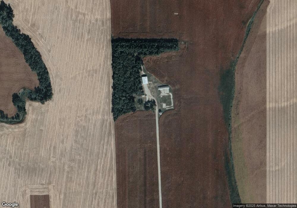
2058 F Rd West Point, NE 68788
Estimated Value: $426,000 - $504,000
5
Beds
1
Bath
1,938
Sq Ft
$240/Sq Ft
Est. Value
About This Home
This home is located at 2058 F Rd, West Point, NE 68788 and is currently estimated at $465,522, approximately $240 per square foot. 2058 F Rd is a home located in Cuming County with nearby schools including West Point-Beemer Junior/Senior High School.
Ownership History
Date
Name
Owned For
Owner Type
Purchase Details
Closed on
Jan 11, 2023
Sold by
Schlautman Randy J
Bought by
Schlautman Kent G and Schlautman Kim M
Current Estimated Value
Home Financials for this Owner
Home Financials are based on the most recent Mortgage that was taken out on this home.
Original Mortgage
$390,000
Outstanding Balance
$376,470
Interest Rate
6.33%
Mortgage Type
Credit Line Revolving
Estimated Equity
$89,052
Purchase Details
Closed on
Nov 22, 2022
Sold by
Rjs Farms Llc
Bought by
Schlautman Randy J
Home Financials for this Owner
Home Financials are based on the most recent Mortgage that was taken out on this home.
Original Mortgage
$390,000
Outstanding Balance
$376,470
Interest Rate
6.33%
Mortgage Type
Credit Line Revolving
Estimated Equity
$89,052
Purchase Details
Closed on
Feb 26, 2016
Sold by
Hasenkamp Herb K and Hasenkamp Karina M
Bought by
Beemer Township
Purchase Details
Closed on
Sep 28, 2012
Sold by
Engelmeyer Robert V
Bought by
R & M Livestock Llc
Create a Home Valuation Report for This Property
The Home Valuation Report is an in-depth analysis detailing your home's value as well as a comparison with similar homes in the area
Home Values in the Area
Average Home Value in this Area
Purchase History
| Date | Buyer | Sale Price | Title Company |
|---|---|---|---|
| Schlautman Kent G | $857 | None Listed On Document | |
| Schlautman Randy J | -- | -- | |
| Beemer Township | -- | None Available | |
| R & M Livestock Llc | -- | None Available |
Source: Public Records
Mortgage History
| Date | Status | Borrower | Loan Amount |
|---|---|---|---|
| Open | Schlautman Kent G | $390,000 |
Source: Public Records
Tax History Compared to Growth
Tax History
| Year | Tax Paid | Tax Assessment Tax Assessment Total Assessment is a certain percentage of the fair market value that is determined by local assessors to be the total taxable value of land and additions on the property. | Land | Improvement |
|---|---|---|---|---|
| 2025 | $2,393 | $459,730 | $351,060 | $108,670 |
| 2024 | $2,393 | $397,685 | $305,300 | $92,385 |
| 2023 | $3,216 | $360,000 | $272,390 | $87,610 |
| 2022 | $3,217 | $571,060 | $499,210 | $71,850 |
| 2021 | $5,781 | $586,440 | $519,550 | $66,890 |
| 2020 | $6,106 | $628,365 | $565,135 | $63,230 |
| 2019 | $6,160 | $620,230 | $565,135 | $55,095 |
| 2018 | $6,351 | $645,605 | $588,395 | $57,210 |
| 2017 | $5,853 | $575,690 | $530,505 | $45,185 |
| 2016 | $5,723 | $534,945 | $492,800 | $42,145 |
| 2015 | $5,760 | $493,875 | $451,730 | $42,145 |
| 2014 | $4,266 | $422,180 | $380,655 | $41,525 |
| 2013 | $4,266 | $311,540 | $268,665 | $42,875 |
Source: Public Records
Map
Nearby Homes
- 1045 E Grove St
- 126 E Grove St
- 749 E Grove St
- 626 S Monitor St
- 420 S Farragut St
- 2416 F Rd
- 519 S Niphon St
- 1402 E Bridge St
- 205 E Sheridan St
- 208 N Lincoln St
- 301 W Pine St
- 101 S Main St
- 402 W Pine St
- 1207 N Main St
- 1225 Co Road 1
- 2235 K Rd
- TBD Oakland
- 328 N Oakland Ave
- 108 N Thomas Ave
- 206 N Thomas Ave