2058 S Roan Ave Unit 1915 Saratoga Springs, UT 84045
Estimated Value: $545,000 - $844,000
3
Beds
4
Baths
2,643
Sq Ft
$265/Sq Ft
Est. Value
About This Home
This home is located at 2058 S Roan Ave Unit 1915, Saratoga Springs, UT 84045 and is currently estimated at $699,305, approximately $264 per square foot. 2058 S Roan Ave Unit 1915 is a home located in Utah County with nearby schools including Sage Hills Elementary School, Lake Mountain Middle School, and Westlake High School.
Ownership History
Date
Name
Owned For
Owner Type
Purchase Details
Closed on
Oct 24, 2024
Sold by
Patriot Ridge Llc
Bought by
Stoddard Dallin and Stoddard Adeleine
Current Estimated Value
Home Financials for this Owner
Home Financials are based on the most recent Mortgage that was taken out on this home.
Original Mortgage
$616,201
Outstanding Balance
$609,537
Interest Rate
6.2%
Mortgage Type
Construction
Estimated Equity
$89,768
Purchase Details
Closed on
Sep 30, 2024
Sold by
Patriot Ridge Llc
Bought by
Stoddard Dallin and Stoddard Adeleine
Home Financials for this Owner
Home Financials are based on the most recent Mortgage that was taken out on this home.
Original Mortgage
$616,201
Outstanding Balance
$609,537
Interest Rate
6.2%
Mortgage Type
Construction
Estimated Equity
$89,768
Create a Home Valuation Report for This Property
The Home Valuation Report is an in-depth analysis detailing your home's value as well as a comparison with similar homes in the area
Home Values in the Area
Average Home Value in this Area
Purchase History
| Date | Buyer | Sale Price | Title Company |
|---|---|---|---|
| Stoddard Dallin | -- | Pro Title & Escrow | |
| Stoddard Dallin | -- | Pro Title & Escrow | |
| Stoddard Dallin | -- | None Listed On Document |
Source: Public Records
Mortgage History
| Date | Status | Borrower | Loan Amount |
|---|---|---|---|
| Open | Stoddard Dallin | $616,201 | |
| Closed | Stoddard Dallin | $616,201 |
Source: Public Records
Tax History Compared to Growth
Tax History
| Year | Tax Paid | Tax Assessment Tax Assessment Total Assessment is a certain percentage of the fair market value that is determined by local assessors to be the total taxable value of land and additions on the property. | Land | Improvement |
|---|---|---|---|---|
| 2025 | $2,043 | $257,700 | $257,700 | $0 |
| 2024 | $1,900 | $245,400 | $0 | $0 |
| 2023 | $1,900 | $245,400 | $0 | $0 |
| 2022 | $2,078 | $261,700 | $261,700 | $0 |
| 2021 | $0 | $145,400 | $145,400 | $0 |
Source: Public Records
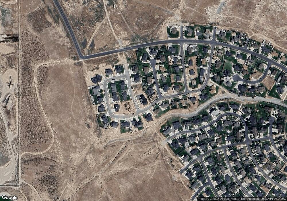
Map
Nearby Homes
- 2039 S Roan Ave
- 2162 S Ruger Dr
- 2238 S Western Dr
- 2274 S Browning Dr
- 312 W Landview Dr
- 197 W Parkside Dr
- 2199 S Morgan Rd
- 1524 S Lukas Ln Unit 629
- 2237 S Maverick Rd
- 1522 S Sage View Ct
- 2226 S Maverick Rd
- 1470 S Trapper Rd
- 2262 S Maverick Rd
- 1497 S Overlook Ln
- 153 W Honeysuckle Dr
- 2559 S Colt Dr
- 231 S Wiltshire Ln
- 244 E Range Rd
- 127 W Honeysuckle Dr Unit 221
- 277 E Bennett Ln
- 2058 S Roan Ave
- 2043 S Clydesdale Cir Unit 1033
- 2043 S Clydesdale Cir Unit 33
- 2043 S Clydesdale Cir Unit 1033
- 2043 S Clydesdale Cir Unit 1033
- 499 W Stetson Ave Unit 1901
- 527 W Stetson Ave
- 487 W Stetson Ave Unit 1032
- 487 W Stetson Ave
- 2049 S Roan Ave
- 2049 S Roan Ave Unit 1917
- 2027 S Clydesdale Cir
- 2027 S Clydesdale Cir Unit 1034
- 473 W Stetson Ave Unit 1031
- 473 W Stetson Ave
- 2039 S Roan Ave Unit 1918
- 544 W Stetson Ave
- 544 W Stetson Ave Unit 1921
- 2044 S Clydesdale Cir Unit 1041
- 2046 S Dunn Dr Unit 1920