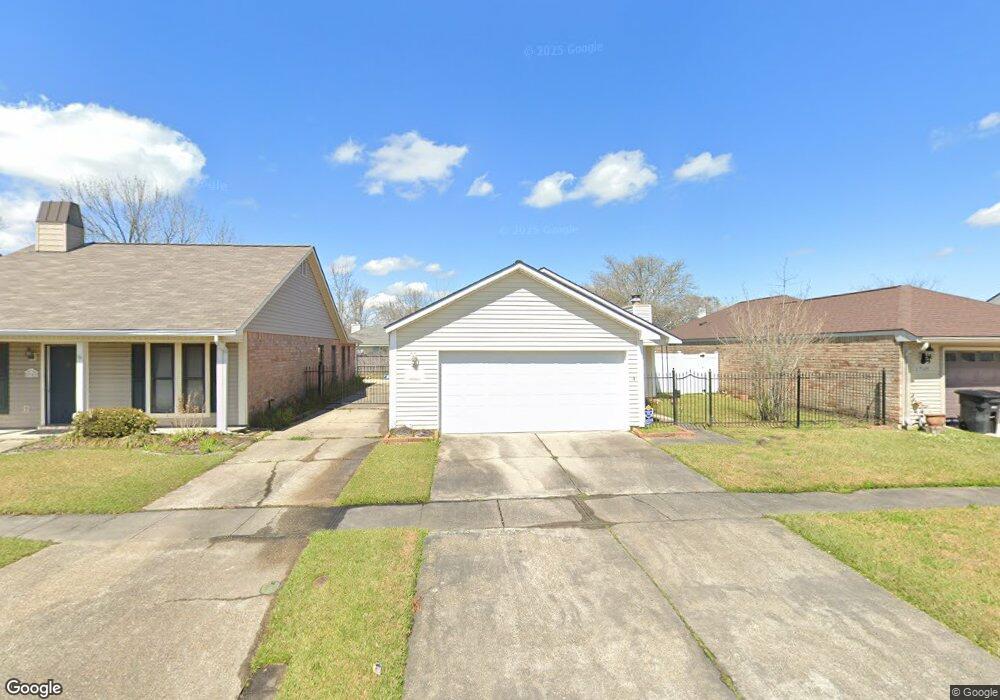
2059 Deer Ridge Ave Baton Rouge, LA 70816
Broadmoor/Sherwood NeighborhoodEstimated Value: $164,000 - $188,000
2
Beds
2
Baths
1,253
Sq Ft
$141/Sq Ft
Est. Value
About This Home
This home is located at 2059 Deer Ridge Ave, Baton Rouge, LA 70816 and is currently estimated at $176,535, approximately $140 per square foot. 2059 Deer Ridge Ave is a home located in East Baton Rouge Parish with nearby schools including Twin Oaks Elementary School, Southeast Middle School, and Broadmoor Senior High School.
Ownership History
Date
Name
Owned For
Owner Type
Purchase Details
Closed on
Mar 14, 2006
Sold by
Tong Wilfred W
Bought by
Dupard Annette F
Current Estimated Value
Home Financials for this Owner
Home Financials are based on the most recent Mortgage that was taken out on this home.
Original Mortgage
$120,944
Interest Rate
6.6%
Mortgage Type
FHA
Create a Home Valuation Report for This Property
The Home Valuation Report is an in-depth analysis detailing your home's value as well as a comparison with similar homes in the area
Home Values in the Area
Average Home Value in this Area
Purchase History
| Date | Buyer | Sale Price | Title Company |
|---|---|---|---|
| Dupard Annette F | $121,900 | -- |
Source: Public Records
Mortgage History
| Date | Status | Borrower | Loan Amount |
|---|---|---|---|
| Previous Owner | Dupard Annette F | $120,944 |
Source: Public Records
Tax History Compared to Growth
Tax History
| Year | Tax Paid | Tax Assessment Tax Assessment Total Assessment is a certain percentage of the fair market value that is determined by local assessors to be the total taxable value of land and additions on the property. | Land | Improvement |
|---|---|---|---|---|
| 2024 | $681 | $12,280 | $1,600 | $10,680 |
| 2023 | $681 | $12,280 | $1,600 | $10,680 |
| 2022 | $1,618 | $12,280 | $1,600 | $10,680 |
| 2021 | $1,586 | $12,280 | $1,600 | $10,680 |
| 2020 | $1,600 | $12,280 | $1,600 | $10,680 |
| 2019 | $1,527 | $12,200 | $1,600 | $10,600 |
| 2018 | $1,509 | $12,200 | $1,600 | $10,600 |
| 2017 | $1,509 | $12,200 | $1,600 | $10,600 |
| 2016 | $149 | $8,490 | $1,600 | $6,890 |
| 2015 | $587 | $12,200 | $1,600 | $10,600 |
| 2014 | $585 | $12,200 | $1,600 | $10,600 |
| 2013 | -- | $12,200 | $1,600 | $10,600 |
Source: Public Records
Map
Nearby Homes
- 1924 Wildlife Dr
- 1362 Magnolia Ridge Dr
- 1954 Wildlife Dr
- 14737 Rhonda Ave
- 13627 S Fairview Ave
- 14802 Jester Ave
- 13435 Parwood Ave
- 14704 Breton Dr
- 2242 Hunters Trail Dr
- 14150 Azalea Park Ave Unit 4
- 1810 W Fairview Dr
- 14121 Azalea Park Ave
- 1944 W Marsden Place
- 15243 Jester Ave
- 1837 Stonewood Dr
- 13717 Stone Gate Dr
- 14217 Stone Gate Dr
- 13645 Stone Gate Dr
- TBD S Flannery Rd
- 1518 Shadybrook Dr
- 2069 Deer Ridge Ave
- 2039 Deer Ridge Ave
- 2136 S Flannery Rd
- 2132 S Flannery Rd
- 2142 S Flannery Rd
- 2111 Deer Ridge Ave
- 1804 Winter Ridge Ave
- 2152 S Flannery Rd
- 2112 S Flannery Rd
- 1803 Myrtle Ridge Dr
- 2029 Deer Ridge Ave
- 1803 Deer Ridge Ave
- 2162 S Flannery Rd
- 2060 S Flannery Rd
- 2121 Deer Ridge Ave
- 1814 Winter Ridge Ave
- 1811 Myrtle Ridge Dr
- 2050 S Flannery Rd
- 2019 Deer Ridge Ave
- 2131 Deer Ridge Ave