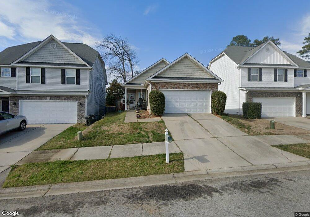
2059 Dundee Way Grovetown, GA 30813
Estimated Value: $230,000 - $239,000
3
Beds
2
Baths
1,544
Sq Ft
$152/Sq Ft
Est. Value
About This Home
This home is located at 2059 Dundee Way, Grovetown, GA 30813 and is currently estimated at $234,530, approximately $151 per square foot. 2059 Dundee Way is a home located in Columbia County with nearby schools including Baker Place Elementary School, Rockbridge Elementary School, and Gilmer Middle School.
Ownership History
Date
Name
Owned For
Owner Type
Purchase Details
Closed on
Sep 6, 2016
Sold by
Thomas
Bought by
Pacheco Richard T
Current Estimated Value
Purchase Details
Closed on
Jan 21, 2011
Sold by
Nelson Thomas L
Bought by
Nelson Thomas L and Nelson Joan M
Purchase Details
Closed on
Jun 12, 2009
Sold by
Afb and Afb T
Bought by
Nelson Thomas L
Home Financials for this Owner
Home Financials are based on the most recent Mortgage that was taken out on this home.
Original Mortgage
$90,400
Interest Rate
6%
Create a Home Valuation Report for This Property
The Home Valuation Report is an in-depth analysis detailing your home's value as well as a comparison with similar homes in the area
Home Values in the Area
Average Home Value in this Area
Purchase History
| Date | Buyer | Sale Price | Title Company |
|---|---|---|---|
| Pacheco Richard T | $108,000 | -- | |
| Nelson Thomas L | -- | -- | |
| Nelson Thomas L | $113,000 | -- |
Source: Public Records
Mortgage History
| Date | Status | Borrower | Loan Amount |
|---|---|---|---|
| Previous Owner | Nelson Thomas L | $90,400 |
Source: Public Records
Tax History Compared to Growth
Tax History
| Year | Tax Paid | Tax Assessment Tax Assessment Total Assessment is a certain percentage of the fair market value that is determined by local assessors to be the total taxable value of land and additions on the property. | Land | Improvement |
|---|---|---|---|---|
| 2025 | $1,979 | $80,490 | $17,852 | $62,638 |
| 2024 | $2,048 | $79,613 | $19,234 | $60,379 |
| 2023 | $2,048 | $76,106 | $18,036 | $58,070 |
| 2022 | $1,843 | $68,674 | $16,009 | $52,665 |
| 2021 | $1,697 | $60,247 | $14,903 | $45,344 |
| 2020 | $1,905 | $66,505 | $14,404 | $52,101 |
| 2019 | $1,850 | $64,495 | $14,604 | $49,891 |
| 2018 | $1,754 | $60,853 | $14,104 | $46,749 |
| 2017 | $1,267 | $43,200 | $13,104 | $30,096 |
| 2016 | $1,605 | $57,340 | $12,280 | $45,060 |
| 2015 | $1,510 | $53,723 | $11,980 | $41,743 |
| 2014 | $1,437 | $50,385 | $11,080 | $39,305 |
Source: Public Records
Map
Nearby Homes
- 2051 Dundee Way
- 613 Dunrobin Ln
- 1803 Dunrobin Ct
- 304 High Meadows Place
- 3010 Kilknockie Dr
- 214 Kickham Ln
- 3027 Kilknockie Dr
- 520 Sweet Meadow Dr
- 727 Ronaldsay Rd
- 690 Ronaldsay Rd
- 723 Ronaldsay Rd
- Montauk 2 Plan at Misty Meadows
- Haverford Plan at Misty Meadows
- Covington 7 Plan at Misty Meadows
- Kelly 9 Plan at Misty Meadows
- Riverton 3 Plan at Misty Meadows
- Oxford Plan at Misty Meadows
- Lyndhurst Plan at Misty Meadows
- Riverton 4 Plan at Misty Meadows
- Stoneridge Plan at Misty Meadows
- 2057 Dundee Way
- 2061 Dundee Way
- 2055 Dundee Way
- 2063 Dundee Way
- 2053 Dundee Way
- 2065 Dundee Way
- 2060 Dundee Way
- 2058 Dundee Way
- 2062 Dundee Way
- 2056 Dundee Way
- 2056 Dundee Way
- 2067 Dundee Way
- 2049 Dundee Way
- 2069 Dundee Way
- 2038 Dundee Way
- 617 Dunrobin Ln
- 615 Dunrobin Ln
- 2071 Dundee Way
- 1808 Dunrobin Ct
- 2047 Dundee Way