2059 E Brown Rd Unit 69 Mesa, AZ 85213
North Central Mesa NeighborhoodEstimated Value: $325,136 - $371,000
3
Beds
2
Baths
1,471
Sq Ft
$239/Sq Ft
Est. Value
About This Home
This home is located at 2059 E Brown Rd Unit 69, Mesa, AZ 85213 and is currently estimated at $351,534, approximately $238 per square foot. 2059 E Brown Rd Unit 69 is a home located in Maricopa County with nearby schools including Field Elementary School, Franklin at Brimhall Elementary School, and Franklin West Elementary School.
Ownership History
Date
Name
Owned For
Owner Type
Purchase Details
Closed on
Aug 27, 2024
Sold by
Dyar Susan Ericson
Bought by
Susan Ericson Dyar Living Trust and Dyar
Current Estimated Value
Purchase Details
Closed on
Jun 8, 2016
Sold by
Cox Elizabeth Anne Cannon
Bought by
Dyar Susan E
Home Financials for this Owner
Home Financials are based on the most recent Mortgage that was taken out on this home.
Original Mortgage
$155,138
Interest Rate
3.25%
Mortgage Type
FHA
Purchase Details
Closed on
Jan 4, 2016
Sold by
Rsc Properties Llc
Bought by
Franks W Bruce
Purchase Details
Closed on
Feb 21, 2003
Sold by
Lovsey Richard L and Lovsey Janet L
Bought by
Cox Roger S
Create a Home Valuation Report for This Property
The Home Valuation Report is an in-depth analysis detailing your home's value as well as a comparison with similar homes in the area
Home Values in the Area
Average Home Value in this Area
Purchase History
| Date | Buyer | Sale Price | Title Company |
|---|---|---|---|
| Susan Ericson Dyar Living Trust | -- | None Listed On Document | |
| Dyar Susan E | $158,000 | Empire West Title Agency | |
| Franks W Bruce | $140,000 | Security Title Agency Inc | |
| Rsc Properties Llc | -- | Security Title Agency Inc | |
| Cox Roger S | $132,000 | Security Title Agency |
Source: Public Records
Mortgage History
| Date | Status | Borrower | Loan Amount |
|---|---|---|---|
| Previous Owner | Dyar Susan E | $155,138 |
Source: Public Records
Tax History
| Year | Tax Paid | Tax Assessment Tax Assessment Total Assessment is a certain percentage of the fair market value that is determined by local assessors to be the total taxable value of land and additions on the property. | Land | Improvement |
|---|---|---|---|---|
| 2025 | $1,109 | $13,358 | -- | -- |
| 2024 | $1,121 | $12,722 | -- | -- |
| 2023 | $1,121 | $25,970 | $5,190 | $20,780 |
| 2022 | $1,097 | $20,270 | $4,050 | $16,220 |
| 2021 | $1,127 | $19,330 | $3,860 | $15,470 |
| 2020 | $1,112 | $16,960 | $3,390 | $13,570 |
| 2019 | $1,030 | $15,560 | $3,110 | $12,450 |
| 2018 | $983 | $14,170 | $2,830 | $11,340 |
| 2017 | $952 | $13,220 | $2,640 | $10,580 |
| 2016 | $935 | $13,220 | $2,640 | $10,580 |
| 2015 | $1,038 | $11,820 | $2,360 | $9,460 |
Source: Public Records
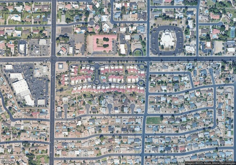
Map
Nearby Homes
- 1934 E Gary St
- 1905 E Gary St
- 1825 E Elmwood St
- 2322 E Evergreen St
- 2301 E Enrose St
- 1712 E Fairfield St
- 748 N 22nd St
- 1312 N 24th St Unit 1
- 715 N Gilbert Rd
- 1625 E Greenway St
- 1618 E Greenway St
- 1650 E Grandview St
- 2511 E Fountain St
- 2435 E Evergreen St
- 655 N Gentry Cir
- 2041 E Des Moines St
- 823 N Hill Cir
- 1549 E Greenway St
- 2554 E Fox St
- 1508 N 24th St Unit 2
- 2059 E Brown Rd Unit 8
- 2059 E Brown Rd Unit 34
- 2059 E Brown Rd Unit 51
- 2059 E Brown Rd Unit 19
- 2059 E Brown Rd Unit 14
- 2059 E Brown Rd Unit 80
- 2059 E Brown Rd Unit 33
- 2059 E Brown Rd Unit 82
- 2059 E Brown Rd Unit 48
- 2059 E Brown Rd Unit 11
- 2059 E Brown Rd Unit 65
- 2059 E Brown Rd Unit 77
- 2059 E Brown Rd Unit 43
- 2059 E Brown Rd Unit 85
- 2059 E Brown Rd Unit 50
- 2059 E Brown Rd Unit 49
- 2059 E Brown Rd Unit 26
- 2059 E Brown Rd Unit 20
- 2059 E Brown Rd Unit 75
- 2059 E Brown Rd Unit 38
Your Personal Tour Guide
Ask me questions while you tour the home.