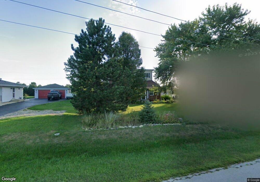
2059 W State Route 102 Bourbonnais, IL 60914
Estimated Value: $191,000 - $253,000
4
Beds
2
Baths
1,784
Sq Ft
$129/Sq Ft
Est. Value
About This Home
This home is located at 2059 W State Route 102, Bourbonnais, IL 60914 and is currently estimated at $229,986, approximately $128 per square foot. 2059 W State Route 102 is a home located in Kankakee County with nearby schools including Alan B. Shepard Elementary School, Liberty Intermediate School, and Bourbonnais Upper Grade Center.
Ownership History
Date
Name
Owned For
Owner Type
Purchase Details
Closed on
Jan 10, 2011
Sold by
Municipal Trust & Svgs Bk
Bought by
Hartline Denae M
Current Estimated Value
Home Financials for this Owner
Home Financials are based on the most recent Mortgage that was taken out on this home.
Original Mortgage
$97,367
Outstanding Balance
$65,487
Interest Rate
4.5%
Mortgage Type
FHA
Estimated Equity
$164,499
Create a Home Valuation Report for This Property
The Home Valuation Report is an in-depth analysis detailing your home's value as well as a comparison with similar homes in the area
Home Values in the Area
Average Home Value in this Area
Purchase History
| Date | Buyer | Sale Price | Title Company |
|---|---|---|---|
| Hartline Denae M | $100,000 | -- |
Source: Public Records
Mortgage History
| Date | Status | Borrower | Loan Amount |
|---|---|---|---|
| Open | Hartline Denae M | $97,367 |
Source: Public Records
Tax History Compared to Growth
Tax History
| Year | Tax Paid | Tax Assessment Tax Assessment Total Assessment is a certain percentage of the fair market value that is determined by local assessors to be the total taxable value of land and additions on the property. | Land | Improvement |
|---|---|---|---|---|
| 2024 | $4,155 | $58,899 | $5,267 | $53,632 |
| 2023 | $3,778 | $54,536 | $4,877 | $49,659 |
| 2022 | $2,523 | $37,077 | $4,638 | $32,439 |
| 2021 | $2,422 | $35,639 | $4,536 | $31,103 |
| 2020 | $2,390 | $34,686 | $4,415 | $30,271 |
| 2019 | $2,331 | $33,675 | $4,286 | $29,389 |
| 2018 | $2,296 | $33,178 | $4,223 | $28,955 |
| 2017 | $2,173 | $31,546 | $4,120 | $27,426 |
| 2016 | $2,083 | $30,550 | $4,059 | $26,491 |
| 2015 | $2,083 | $30,248 | $4,019 | $26,229 |
| 2014 | $2,031 | $30,649 | $4,019 | $26,630 |
| 2013 | -- | $31,212 | $4,019 | $27,193 |
Source: Public Records
Map
Nearby Homes
- 587 Turnberry Dr
- 577 Westberry Ln
- 650 Justin Ct
- 1220 Game Trail N
- 3870 N 3000w Rd
- 1172 Blaye
- 551 Beach Ave
- 549 Beach Ave
- 1019 Country Ln
- 1365 Braemar Ct
- 4776 - 0 Illinois 102
- 310 Barrington Dr
- 905 Magnolia Dr
- 1269 Tower Ct
- 1040 Country Ln
- 1037 Deer Trail
- 284 Barrington Ln
- 2471 Girard Turn
- 830 Magnolia Dr
- 370 Windermere Way
- 2059 Illinois 102
- 2037 W State Route 102
- 2037 W State Route 102
- 2075 W State Route 102
- 2075 Rte 102
- 2091 W State Route 102
- 2017 Illinois 102
- 2017 W State Route 102
- 2105 W State Route 102
- 2119 W State Route 102
- 2119 Il-102
- 3820 Morgan Trail
- 2149 W State Route 102
- 3835 Morgan Trail
- 1992 W State Route 102
- 2181 W State Route 102
- 3832 Morgan Trail
- 3849 Morgan Trail
- 3809 Illinois 102