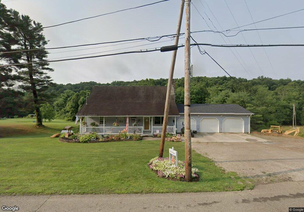
20590 County Road 6 Coshocton, OH 43812
Estimated Value: $225,000 - $294,718
3
Beds
2
Baths
2,040
Sq Ft
$127/Sq Ft
Est. Value
About This Home
This home is located at 20590 County Road 6, Coshocton, OH 43812 and is currently estimated at $259,430, approximately $127 per square foot. 20590 County Road 6 is a home located in Coshocton County with nearby schools including River View High School, Coshocton Opportunity School, and Sacred Heart School.
Ownership History
Date
Name
Owned For
Owner Type
Purchase Details
Closed on
Mar 27, 2009
Sold by
Eaton Scott A
Bought by
Eaton Scitt A and Eaton Jeannie A
Current Estimated Value
Home Financials for this Owner
Home Financials are based on the most recent Mortgage that was taken out on this home.
Original Mortgage
$139,000
Outstanding Balance
$88,669
Interest Rate
5.11%
Mortgage Type
New Conventional
Estimated Equity
$170,761
Purchase Details
Closed on
Feb 1, 1989
Create a Home Valuation Report for This Property
The Home Valuation Report is an in-depth analysis detailing your home's value as well as a comparison with similar homes in the area
Home Values in the Area
Average Home Value in this Area
Purchase History
| Date | Buyer | Sale Price | Title Company |
|---|---|---|---|
| Eaton Scitt A | -- | None Available | |
| -- | $2,400 | -- |
Source: Public Records
Mortgage History
| Date | Status | Borrower | Loan Amount |
|---|---|---|---|
| Open | Eaton Scitt A | $139,000 |
Source: Public Records
Tax History Compared to Growth
Tax History
| Year | Tax Paid | Tax Assessment Tax Assessment Total Assessment is a certain percentage of the fair market value that is determined by local assessors to be the total taxable value of land and additions on the property. | Land | Improvement |
|---|---|---|---|---|
| 2024 | $2,489 | $72,170 | $13,990 | $58,180 |
| 2023 | $2,489 | $55,637 | $9,356 | $46,281 |
| 2022 | $2,056 | $55,637 | $9,356 | $46,281 |
| 2021 | $2,056 | $55,637 | $9,356 | $46,281 |
| 2020 | $2,271 | $61,268 | $9,373 | $51,895 |
| 2019 | $2,323 | $61,268 | $9,373 | $51,895 |
| 2018 | $2,229 | $61,268 | $9,373 | $51,895 |
| 2017 | $2,207 | $59,088 | $8,355 | $50,733 |
| 2016 | $2,088 | $59,088 | $8,355 | $50,733 |
| 2015 | $1,044 | $59,088 | $8,355 | $50,733 |
| 2014 | $1,603 | $45,711 | $4,834 | $40,877 |
Source: Public Records
Map
Nearby Homes
- 20413 Township Road 1184
- 20101 Ohio 16
- 20178 County Road 6
- 17981 Township Road 347
- 21569 State Route 16
- 2609 S 7th St
- 14405 Ohio 83
- 19625 County Road 6
- 223 Pine St
- 227 Pine St
- 935 S 7th St
- 425 S 3rd St
- 1730 Otsego Ave
- 731 S 6th St
- 433 S 4th St
- 731 S Lawn Ave
- 771 State Route 541
- 0 Ohio 83
- 46418 County Road 501
- 720 Pine St
- 20603 County Road 6
- 20654 County Road 6
- 20654 County Road 6
- 20641 County Road 6
- 20560 County Road 6
- 20591 County Road 6
- 20433 Township Road 1184
- 20571 County Road 6
- 20543 County Road 6
- 20417 Township Road 1184
- 20417 Township Road 1184
- 20373 Township Road 1184
- 20350 Township Road 1184
- 20444 Township Road 1184
- 20433 Tr 1184
- 20749 County Road 6
- 20734 County Road 6
- 20510 County Road 6
- 20771 County Road 6
- 20450 County Road 6