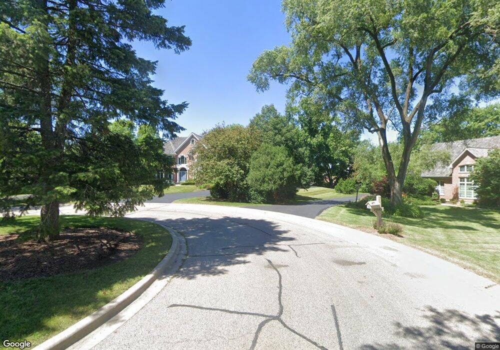
20590 N Amherst Ln Deer Park, IL 60010
Estimated Value: $1,071,000 - $1,653,000
--
Bed
5
Baths
5,485
Sq Ft
$244/Sq Ft
Est. Value
About This Home
This home is located at 20590 N Amherst Ln, Deer Park, IL 60010 and is currently estimated at $1,337,365, approximately $243 per square foot. 20590 N Amherst Ln is a home located in Lake County with nearby schools including Arnett C. Lines Elementary School, Barrington Mdle School- Prairie Cmps, and Barrington High School.
Ownership History
Date
Name
Owned For
Owner Type
Purchase Details
Closed on
Oct 16, 2000
Sold by
Hume David A and Hume Sandra C
Bought by
Hume Sandra C and The Sandra C Hume Declaration Of Trust
Current Estimated Value
Purchase Details
Closed on
May 18, 2000
Sold by
Harris Bank Barrington
Bought by
Hume David A and Hume Sandra C
Home Financials for this Owner
Home Financials are based on the most recent Mortgage that was taken out on this home.
Original Mortgage
$1,200,000
Outstanding Balance
$410,379
Interest Rate
8%
Mortgage Type
Construction
Estimated Equity
$926,986
Create a Home Valuation Report for This Property
The Home Valuation Report is an in-depth analysis detailing your home's value as well as a comparison with similar homes in the area
Home Values in the Area
Average Home Value in this Area
Purchase History
| Date | Buyer | Sale Price | Title Company |
|---|---|---|---|
| Hume Sandra C | -- | -- | |
| Hume David A | $265,000 | -- |
Source: Public Records
Mortgage History
| Date | Status | Borrower | Loan Amount |
|---|---|---|---|
| Open | Hume David A | $1,200,000 |
Source: Public Records
Tax History Compared to Growth
Tax History
| Year | Tax Paid | Tax Assessment Tax Assessment Total Assessment is a certain percentage of the fair market value that is determined by local assessors to be the total taxable value of land and additions on the property. | Land | Improvement |
|---|---|---|---|---|
| 2024 | $24,180 | $393,961 | $45,020 | $348,941 |
| 2023 | $21,786 | $372,214 | $42,535 | $329,679 |
| 2022 | $21,786 | $333,217 | $41,713 | $291,504 |
| 2021 | $21,317 | $324,678 | $40,644 | $284,034 |
| 2020 | $20,814 | $324,678 | $40,644 | $284,034 |
| 2019 | $20,347 | $321,845 | $40,289 | $281,556 |
| 2018 | $11,320 | $359,530 | $46,938 | $312,592 |
| 2017 | $22,081 | $355,196 | $46,372 | $308,824 |
| 2016 | $22,082 | $343,949 | $44,904 | $299,045 |
| 2015 | $21,390 | $327,602 | $42,770 | $284,832 |
| 2014 | $23,440 | $339,946 | $45,320 | $294,626 |
| 2012 | $22,441 | $340,661 | $45,415 | $295,246 |
Source: Public Records
Map
Nearby Homes
- 104 Lois Ln
- 523 N Ela Rd
- 44 Oak Ridge Ln
- 20633 N Primrose Ct
- 1312 Lake Shore Dr N Unit 7
- 36 Ferndale Rd
- 110 Tudor Dr
- 1288 The Point St
- 23036 W Long Grove Rd
- 290 Cold Spring Rd
- 21 Ferndale Rd
- 21355 N Bobwhite Ln
- 185 Cold Spring Rd
- 101 Surrey Ln
- 104 Howe Terrace
- 1202 Tracie Dr
- 1254 Tracie Dr
- 129 Roth Ave
- 20358 N Wallingford Ln
- 175 Hilltop Ave
- 20583 N Amherst Ln
- 20672 N Waddington Rd
- 20584 N Amherst Ln
- 20671 N Waddington Rd Unit 2
- 20676 N Waddington Rd
- 20556 N Amherst Ln
- 20557 N Amherst Ln
- 20680 N Waddington Rd
- 20679 N Waddington Rd
- 20522 N Amherst Ln
- 20525 N Amherst Ln
- 23928 W Long Grove Rd
- 20774 N Meadow Ln
- 20802 N Meadow Ln
- 20828 N Meadow Ln
- 23833 W Long Grove Rd Unit B
- 20787 N Meadow Ln
- 23811 W Long Grove Rd
- 20520 N Meadow Ln
- 23936 W Long Grove Rd