Estimated Value: $549,000 - $732,778
1
Bed
1
Bath
--
Sq Ft
25
Acres
About This Home
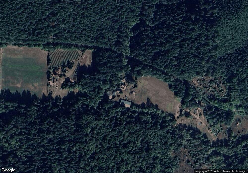
This home is located at 20594 Honey Grove Rd, Alsea, OR 97324 and is currently estimated at $640,889. 20594 Honey Grove Rd is a home located in Benton County with nearby schools including Alsea Elementary School and Alsea Charter School.
Ownership History
Date
Name
Owned For
Owner Type
Purchase Details
Closed on
Mar 18, 2019
Sold by
Behrenfeld Michael J and Behrenfeld Elizabeth B
Bought by
Behrenfeld Michael and Behrenfeld Elizabeth
Current Estimated Value
Home Financials for this Owner
Home Financials are based on the most recent Mortgage that was taken out on this home.
Original Mortgage
$200,000
Outstanding Balance
$175,477
Interest Rate
4.4%
Mortgage Type
New Conventional
Estimated Equity
$465,412
Purchase Details
Closed on
Oct 29, 2018
Sold by
Behrenfeld Michael J
Bought by
Behrengfeld Michael J and Behrengfeld Elizabeth B
Purchase Details
Closed on
Nov 1, 2004
Sold by
Sutter Leonard E and Markham Barbara J
Bought by
Behrenfeld Michael J
Home Financials for this Owner
Home Financials are based on the most recent Mortgage that was taken out on this home.
Original Mortgage
$151,900
Interest Rate
5.69%
Mortgage Type
Unknown
Create a Home Valuation Report for This Property
The Home Valuation Report is an in-depth analysis detailing your home's value as well as a comparison with similar homes in the area
Home Values in the Area
Average Home Value in this Area
Purchase History
| Date | Buyer | Sale Price | Title Company |
|---|---|---|---|
| Behrenfeld Michael | -- | Ticor Title | |
| Behrengfeld Michael J | -- | None Available | |
| Behrenfeld Michael J | $189,900 | Lawyers Title Ins |
Source: Public Records
Mortgage History
| Date | Status | Borrower | Loan Amount |
|---|---|---|---|
| Open | Behrenfeld Michael | $200,000 | |
| Previous Owner | Behrenfeld Michael J | $151,900 |
Source: Public Records
Tax History Compared to Growth
Tax History
| Year | Tax Paid | Tax Assessment Tax Assessment Total Assessment is a certain percentage of the fair market value that is determined by local assessors to be the total taxable value of land and additions on the property. | Land | Improvement |
|---|---|---|---|---|
| 2025 | $208 | $19,150 | -- | -- |
| 2024 | $208 | $18,597 | -- | -- |
| 2023 | $204 | $18,041 | $0 | $0 |
| 2022 | $195 | $17,507 | $0 | $0 |
| 2021 | $202 | $17,020 | $0 | $0 |
| 2020 | $202 | $16,524 | $0 | $0 |
| 2019 | -- | $16,044 | $0 | $0 |
| 2014 | -- | $13,838 | $0 | $0 |
Source: Public Records
Map
Nearby Homes
- Lot 1 & 2 Main St
- Next to 26140 Alsea-Deadwood Hwy
- 176 W Main St
- 18591 Alsea Hwy
- 18487 Alsea Hwy
- 0 S Fork Rd Unit 23615778
- 17246 Alsea Hwy
- 17126 Alsea Hwy
- 31636 Lewis Place
- 23508 Lewis Dr
- 23515 Clark Dr
- 25053 Larson Rd
- 25148 Smittys Place
- 31722 Mcloughlin Dr
- 0 Crandall
- 24880 Orchard Tract Rd
- 31970 Fern Rd
- 23547 Woods Creek Rd
- 94296 Horton Rd
- 26377 Cherry Creek Rd