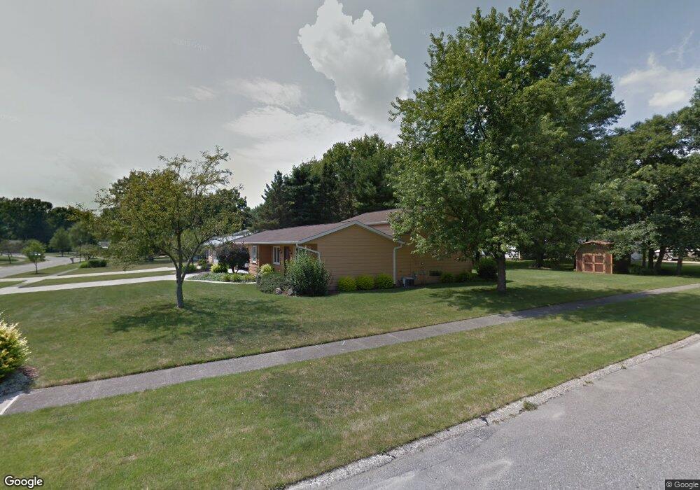
20598 Homestead Park Dr Strongsville, OH 44149
Estimated Value: $314,730 - $390,000
3
Beds
2
Baths
1,960
Sq Ft
$175/Sq Ft
Est. Value
About This Home
This home is located at 20598 Homestead Park Dr, Strongsville, OH 44149 and is currently estimated at $342,683, approximately $174 per square foot. 20598 Homestead Park Dr is a home located in Cuyahoga County with nearby schools including Strongsville High School, Sts Joseph & John Interparochial School, and St Mary School.
Ownership History
Date
Name
Owned For
Owner Type
Purchase Details
Closed on
Aug 31, 2019
Sold by
Mengay Walter J and Mengay Diane M
Bought by
Mengay Todd and The Diane M Mengay Irrevocable
Current Estimated Value
Purchase Details
Closed on
Mar 30, 1985
Sold by
Mengay Walter J and Mengay Diane M
Bought by
Mengay Walter J
Purchase Details
Closed on
Jan 1, 1975
Bought by
Mengay Walter J and Mengay Diane M
Create a Home Valuation Report for This Property
The Home Valuation Report is an in-depth analysis detailing your home's value as well as a comparison with similar homes in the area
Home Values in the Area
Average Home Value in this Area
Purchase History
| Date | Buyer | Sale Price | Title Company |
|---|---|---|---|
| Mengay Todd | -- | None Available | |
| Mengay Walter J | -- | -- | |
| Mengay Walter J | -- | -- |
Source: Public Records
Tax History Compared to Growth
Tax History
| Year | Tax Paid | Tax Assessment Tax Assessment Total Assessment is a certain percentage of the fair market value that is determined by local assessors to be the total taxable value of land and additions on the property. | Land | Improvement |
|---|---|---|---|---|
| 2024 | $3,987 | $94,710 | $20,790 | $73,920 |
| 2023 | $3,897 | $71,410 | $17,610 | $53,800 |
| 2022 | $3,895 | $71,400 | $17,610 | $53,800 |
| 2021 | $3,864 | $71,400 | $17,610 | $53,800 |
| 2020 | $3,469 | $58,520 | $14,420 | $44,100 |
| 2019 | $3,368 | $167,200 | $41,200 | $126,000 |
| 2018 | $3,056 | $58,520 | $14,420 | $44,100 |
| 2017 | $2,991 | $53,830 | $11,760 | $42,070 |
| 2016 | $2,966 | $53,830 | $11,760 | $42,070 |
| 2015 | $4,406 | $53,830 | $11,760 | $42,070 |
| 2014 | $4,406 | $52,260 | $11,410 | $40,850 |
Source: Public Records
Map
Nearby Homes
- 9401 Pheasant Run Place
- 8627 Courtland Dr
- 20424 Scotch Pine Way
- 84 Sprague Rd
- 21176 Hickory Branch Trail
- 21355 Hickory Branch Trail
- 10839 Prospect Rd
- 20684 Albion Rd
- 10353 Oak Branch Trail
- 19890 Idlewood Trail
- 104 Whitehall Dr
- 20050 Idlewood Trail
- 8036 Fair Rd
- 9829 Plum Brook Ln
- 8902 Lincolnshire Blvd
- 19997 Idlewood Trail
- 0 Priem Rd
- 740 Fair St
- 10986 Fawn Meadow Ln
- 22300 Rock Creek Cir
- 20620 Homestead Park Dr
- 9124 Fair Meadow Place
- 20532 Homestead Park Dr
- 20650 Homestead Park Dr
- 0 Willow Ln Unit 4003371
- 0 Willow Ln Unit 4104889
- 20504 Homestead Park Dr
- 20684 Homestead Park Dr
- 20607 Homestead Park Dr
- 20593 Homestead Park Dr
- 20643 Homestead Park Dr
- 20575 Homestead Park Dr
- 20661 Homestead Park Dr
- 20525 Homestead Park Dr
- 20714 Homestead Park Dr
- 20493 Homestead Park Dr
- 20456 Homestead Park Dr
- 20469 Homestead Park Dr
- 9327 Fair Rd
- 9251 Fair Rd