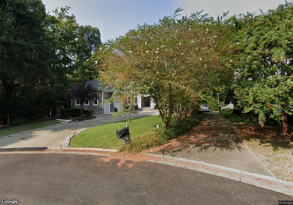
20599 Southport Landing Place Smithfield, VA 23430
Estimated Value: $588,000 - $1,425,030
4
Beds
6
Baths
4,860
Sq Ft
$207/Sq Ft
Est. Value
About This Home
This home is located at 20599 Southport Landing Place, Smithfield, VA 23430 and is currently estimated at $1,006,515, approximately $207 per square foot. 20599 Southport Landing Place is a home located in Isle of Wight County with nearby schools including Carrollton Elementary School, Smithfield Middle School, and Smithfield High School.
Ownership History
Date
Name
Owned For
Owner Type
Purchase Details
Closed on
Feb 7, 2025
Sold by
Burnette Kevin Douglas and Burnette Heidi Suzanne
Bought by
Kevin D Burnette Revocable Trust and Heidi S Burnette Revocable Trust
Current Estimated Value
Purchase Details
Closed on
Oct 20, 2003
Purchase Details
Closed on
May 29, 2002
Create a Home Valuation Report for This Property
The Home Valuation Report is an in-depth analysis detailing your home's value as well as a comparison with similar homes in the area
Home Values in the Area
Average Home Value in this Area
Purchase History
| Date | Buyer | Sale Price | Title Company |
|---|---|---|---|
| Kevin D Burnette Revocable Trust | -- | None Listed On Document | |
| -- | $265,000 | -- | |
| -- | $225,000 | -- |
Source: Public Records
Tax History Compared to Growth
Tax History
| Year | Tax Paid | Tax Assessment Tax Assessment Total Assessment is a certain percentage of the fair market value that is determined by local assessors to be the total taxable value of land and additions on the property. | Land | Improvement |
|---|---|---|---|---|
| 2025 | $8,756 | $1,129,800 | $340,000 | $789,800 |
| 2024 | $8,248 | $1,129,800 | $340,000 | $789,800 |
| 2023 | $8,076 | $1,129,800 | $340,000 | $789,800 |
| 2022 | $7,271 | $849,000 | $340,000 | $509,000 |
| 2021 | $7,271 | $849,000 | $340,000 | $509,000 |
| 2020 | $7,271 | $849,000 | $340,000 | $509,000 |
| 2019 | $7,271 | $849,000 | $340,000 | $509,000 |
| 2018 | $7,391 | $863,200 | $340,000 | $523,200 |
| 2016 | $7,409 | $863,200 | $340,000 | $523,200 |
| 2015 | $7,906 | $863,200 | $340,000 | $523,200 |
| 2014 | $7,906 | $921,600 | $340,000 | $581,600 |
| 2013 | -- | $921,600 | $340,000 | $581,600 |
Source: Public Records
Map
Nearby Homes
- 20537 Madison Ct
- 20517 Madison Ct
- 20524 Creekside Dr
- 11170 Olde Towne Place
- 109 Spinnaker Run Ct
- 12265 Smiths Neck Rd
- 23082 Retreat Ln
- 10748 Smiths Neck Rd
- 12050 Greenbrier Ln
- 610 Gatling Pointe Pkwy
- 215 James Landing Cir
- 211 James Landing Cir
- Lot 14 Riverpoint Trail
- 661 Westminster Reach
- Waverly Plan at Mallory Pointe
- Asheboro Plan at Mallory Pointe
- Drexel Plan at Mallory Pointe
- Colfax Plan at Mallory Pointe
- Cypress Plan at Mallory Pointe
- Davidson Plan at Mallory Pointe
- 20592 Southport Landing Place
- 20584 Southport Landing Place
- 20610 Creekside Dr
- 20616 Creekside Dr
- 12017 Southport Landing Dr
- 12009 Southport Landing Dr
- 20576 Southport Landing Place
- 20620 Creekside Dr
- 12001 Southport Landing Dr
- 20611 Creekside Dr
- 12496 Windjammer Ct
- 20626 Creekside Dr
- 20559 Southport Landing Place
- 20559 Southport Landing Place Unit PL
- 20559 Southport Landing Place Unit PLACE
- 12010 Southport Landing Dr
- 12002 Southport Landing Dr
- 20623 Creekside Dr
- 12488 Windjammer Ct
- 44 Windjammer Ct