206-04 Emily Rd Unit 1110 Bayside, NY 11360
Bayside NeighborhoodEstimated Value: $647,000 - $832,000
3
Beds
2
Baths
1,155
Sq Ft
$669/Sq Ft
Est. Value
About This Home
This home is located at 206-04 Emily Rd Unit 1110, Bayside, NY 11360 and is currently estimated at $772,401, approximately $668 per square foot. 206-04 Emily Rd Unit 1110 is a home located in Queens County with nearby schools including P.S. 209 - Clearview Gardens, J.H.S. 194 William Carr, and Bayside High School.
Ownership History
Date
Name
Owned For
Owner Type
Purchase Details
Closed on
Mar 28, 2024
Sold by
Shlomi Tal
Bought by
Choi Seung Yeon and Ha Sin Sil
Current Estimated Value
Home Financials for this Owner
Home Financials are based on the most recent Mortgage that was taken out on this home.
Original Mortgage
$713,545
Outstanding Balance
$701,605
Interest Rate
6.9%
Mortgage Type
Purchase Money Mortgage
Estimated Equity
$70,796
Purchase Details
Closed on
Jul 16, 2004
Sold by
Logiudice Michael
Bought by
Shlomi Tal
Home Financials for this Owner
Home Financials are based on the most recent Mortgage that was taken out on this home.
Original Mortgage
$392,000
Interest Rate
6.33%
Mortgage Type
Purchase Money Mortgage
Purchase Details
Closed on
Jan 21, 2003
Sold by
Eisenberg Carol and Loguidice Michael
Bought by
Logiudice Michael
Create a Home Valuation Report for This Property
The Home Valuation Report is an in-depth analysis detailing your home's value as well as a comparison with similar homes in the area
Home Values in the Area
Average Home Value in this Area
Purchase History
| Date | Buyer | Sale Price | Title Company |
|---|---|---|---|
| Choi Seung Yeon | $740,000 | -- | |
| Choi Seung Yeon | $740,000 | -- | |
| Choi Seung Yeon | $740,000 | -- | |
| Shlomi Tal | $499,999 | -- | |
| Shlomi Tal | $499,999 | -- | |
| Logiudice Michael | -- | -- | |
| Logiudice Michael | -- | -- |
Source: Public Records
Mortgage History
| Date | Status | Borrower | Loan Amount |
|---|---|---|---|
| Open | Choi Seung Yeon | $713,545 | |
| Closed | Choi Seung Yeon | $713,545 | |
| Previous Owner | Shlomi Tal | $392,000 |
Source: Public Records
Tax History Compared to Growth
Tax History
| Year | Tax Paid | Tax Assessment Tax Assessment Total Assessment is a certain percentage of the fair market value that is determined by local assessors to be the total taxable value of land and additions on the property. | Land | Improvement |
|---|---|---|---|---|
| 2025 | $7,666 | $40,428 | $2,775 | $37,653 |
| 2024 | $7,666 | $38,166 | $3,010 | $35,156 |
| 2023 | $7,603 | $37,852 | $2,395 | $35,457 |
| 2022 | $7,129 | $42,166 | $2,863 | $39,303 |
| 2021 | $7,090 | $38,434 | $2,863 | $35,571 |
| 2020 | $7,131 | $38,036 | $2,863 | $35,173 |
| 2019 | $6,994 | $34,726 | $2,863 | $31,863 |
| 2018 | $6,430 | $31,543 | $2,446 | $29,097 |
| 2017 | $6,066 | $29,758 | $2,357 | $27,401 |
| 2016 | $5,612 | $29,758 | $2,357 | $27,401 |
| 2015 | $3,386 | $28,075 | $2,846 | $25,229 |
| 2014 | $3,386 | $27,862 | $2,790 | $25,072 |
Source: Public Records
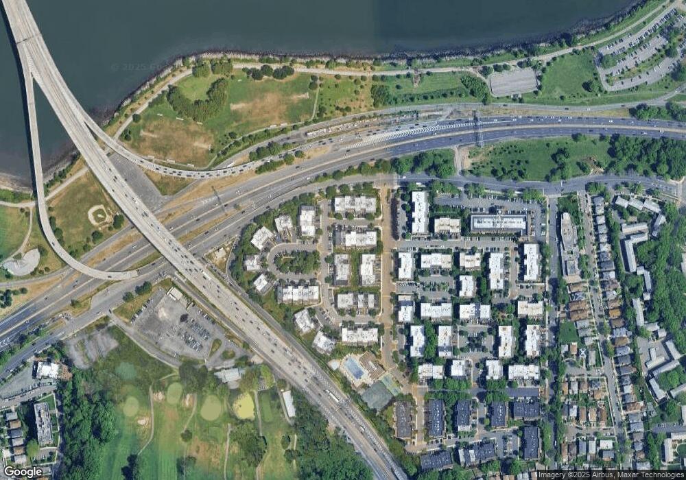
Map
Nearby Homes
- 20607 Emily Rd Unit 3
- 12-31 Robin Ln Unit Triplex
- 12-06 Robin Ln Unit 1028
- 12-36 Estates Ln Unit 49 L
- 12-35 Robin Ln Unit Upper
- 1338 Robin Ln Unit 1212
- 13-25 Estates Ln Unit 3F
- 12-32 Diane Place Unit 204L
- 12-34 Diane Place Unit 205 U
- 1404 Bonnie Ln Unit 15803
- 14-14 Bonnie Ln
- 208-06 Robert Rd Unit 2
- 14-04 Michael Place Unit 113 U
- 208-08 Estates Dr Unit 22125
- 15-01 Jordan Ct Unit 104 U
- 210 E 15th St Unit PHD
- 210 E 15th St Unit 2N
- 210 E 15th St Unit 1A
- 210 E 15th St Unit 2H
- 13-40 212th St Unit 141
- 206-04 Emily Rd Unit 2nd Fl
- 206-04 Emily Rd Unit 37 L
- 20604 Emily Rd
- 20604 Emily Rd
- 20604 Emily Rd
- 206-04 Emily Rd Unit 1
- 206-04 Emily Rd Unit 37 M
- 206-04 Emily Rd Unit 37U
- 206-04 Emily Rd
- 20604 Emily Rd Unit L
- 206-06 Emily Rd
- 206-06 Emily Rd Unit 38L
- 20602 Emily Rd
- 20602 Emily Rd
- 20602 Emily Rd
- 206-02 Emily Rd
- 20602 Emily Rd Unit 2
- 206-02 Emily Rd Unit 36U
- 20606 Emily Rd Unit 38B
- 20606 Emily Rd Unit 381