Estimated Value: $150,000 - $164,011
--
Bed
4
Baths
4,000
Sq Ft
$39/Sq Ft
Est. Value
About This Home
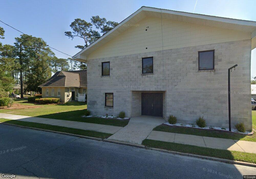
This home is located at 206 1st St NE, Cairo, GA 39828 and is currently estimated at $156,670, approximately $39 per square foot. 206 1st St NE is a home located in Grady County with nearby schools including Cairo High School.
Ownership History
Date
Name
Owned For
Owner Type
Purchase Details
Closed on
Oct 18, 2023
Sold by
United National Bank
Bought by
Clark Randall Thomas
Current Estimated Value
Purchase Details
Closed on
Oct 1, 2023
Sold by
United National Bank
Bought by
Fowler Russell A
Purchase Details
Closed on
Sep 22, 2023
Sold by
United National Bank
Bought by
Clark Randall Thomas
Purchase Details
Closed on
Sep 19, 2023
Sold by
United National Bank
Bought by
Ouzts Caylor L
Purchase Details
Closed on
Sep 1, 2023
Sold by
United National Bank
Bought by
Sunburst Inc
Purchase Details
Closed on
Jul 5, 2023
Sold by
Cairo Masonic Building Association
Bought by
United National Bank
Purchase Details
Closed on
Sep 27, 1949
Bought by
Cairo Masonic Bldg
Create a Home Valuation Report for This Property
The Home Valuation Report is an in-depth analysis detailing your home's value as well as a comparison with similar homes in the area
Home Values in the Area
Average Home Value in this Area
Purchase History
| Date | Buyer | Sale Price | Title Company |
|---|---|---|---|
| Clark Randall Thomas | -- | -- | |
| Fowler Russell A | -- | -- | |
| Clark Randall Thomas | -- | -- | |
| L & L Southern Holdings Llc | -- | -- | |
| Ouzts Caylor L | -- | -- | |
| Sunburst Inc | -- | -- | |
| United National Bank | $160,000 | -- | |
| Cairo Masonic Bldg | -- | -- |
Source: Public Records
Tax History Compared to Growth
Tax History
| Year | Tax Paid | Tax Assessment Tax Assessment Total Assessment is a certain percentage of the fair market value that is determined by local assessors to be the total taxable value of land and additions on the property. | Land | Improvement |
|---|---|---|---|---|
| 2024 | $73 | $1,840 | $1,840 | $0 |
| 2023 | $0 | $5,622 | $5,622 | $0 |
| 2022 | $201 | $5,622 | $5,622 | $0 |
| 2021 | $201 | $5,622 | $5,622 | $0 |
| 2020 | $201 | $5,622 | $5,622 | $0 |
| 2019 | $201 | $5,622 | $5,622 | $0 |
| 2018 | $201 | $5,622 | $5,622 | $0 |
| 2017 | $0 | $5,622 | $5,622 | $0 |
| 2016 | -- | $5,622 | $5,622 | $0 |
| 2015 | -- | $5,622 | $5,622 | $0 |
| 2014 | -- | $5,622 | $5,622 | $0 |
| 2013 | -- | $5,621 | $5,621 | $0 |
Source: Public Records
Map
Nearby Homes
- 4761 Hadley Ferry Rd
- X 1st St
- 00 Hwy 111 South Tract 1
- 316,322 NW 1st St + Lot
- 0 1st St
- Lot #15, 3 64 Acres Oakbend Cir
- 125 6th Ave NW
- 309 3rd St SE
- 00 00 Hwy 111 South Tract 2
- 000 S Broad St
- 711 2nd Ave NE
- 2975 U S 84
- 000 Hwy 111 South 20 59 Acres
- 471 4th St SE
- 40 5th Ave SW
- 481 4th St SE
- 220 8th Ave NW
- 117 6th St SW
- 602 4th St SE
- 27 6th Ave SW
- 109 2nd Ave NE
- 0 2nd Ave Unit 298565
- 121 2nd Ave NE
- 119 1st Ave NE
- 0 Darsey Rd
- 1349 Georgia 112
- 17 1st Ave NE
- 290 2nd Ave NE
- 110 1st Ave NE
- 80 1st Ave NE
- 321 Bell Alley
- 140 1st Ave NE
- 112 N Broad St
- 1234 N Not A Street Bend NE
- 8.98 Ac. Holton Ln
- MEADOWBR Meadow Brook Dr
- 223 3rd St SE
- 301 3rd St NE
- 22 1st Ave NE
- 235 1st Ave NE