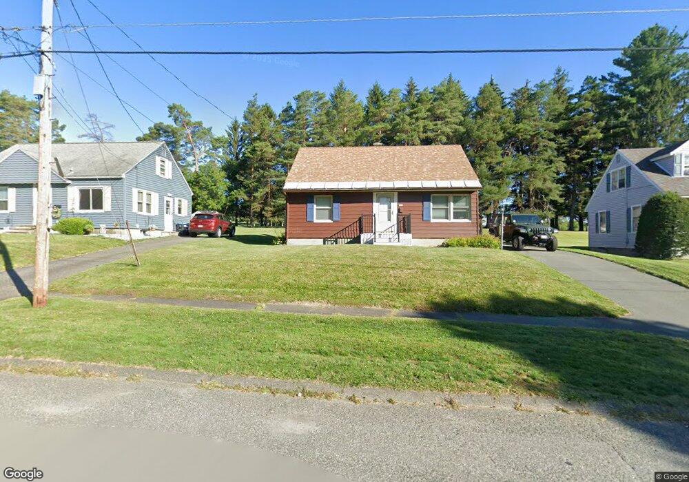
206 Allengate Ave Pittsfield, MA 01201
Estimated Value: $278,000 - $354,000
3
Beds
1
Bath
1,184
Sq Ft
$254/Sq Ft
Est. Value
About This Home
This home is located at 206 Allengate Ave, Pittsfield, MA 01201 and is currently estimated at $300,991, approximately $254 per square foot. 206 Allengate Ave is a home located in Berkshire County with nearby schools including Allendale Elementary School, Theodore Herberg Middle School, and Sinai Academy of the Berkshires.
Ownership History
Date
Name
Owned For
Owner Type
Purchase Details
Closed on
Apr 17, 1992
Sold by
Rousseau Anthony D and Rousseau Karen A
Bought by
Mcpherson Glenn A
Current Estimated Value
Home Financials for this Owner
Home Financials are based on the most recent Mortgage that was taken out on this home.
Original Mortgage
$92,950
Interest Rate
8.75%
Mortgage Type
Purchase Money Mortgage
Create a Home Valuation Report for This Property
The Home Valuation Report is an in-depth analysis detailing your home's value as well as a comparison with similar homes in the area
Home Values in the Area
Average Home Value in this Area
Purchase History
| Date | Buyer | Sale Price | Title Company |
|---|---|---|---|
| Mcpherson Glenn A | $92,500 | -- | |
| Mcpherson Glenn A | $92,500 | -- |
Source: Public Records
Mortgage History
| Date | Status | Borrower | Loan Amount |
|---|---|---|---|
| Open | Mcpherson Glenn A | $87,300 | |
| Closed | Mcpherson Glenn A | $92,950 | |
| Previous Owner | Mcpherson Glenn A | $50,000 |
Source: Public Records
Tax History Compared to Growth
Tax History
| Year | Tax Paid | Tax Assessment Tax Assessment Total Assessment is a certain percentage of the fair market value that is determined by local assessors to be the total taxable value of land and additions on the property. | Land | Improvement |
|---|---|---|---|---|
| 2025 | $4,770 | $265,900 | $69,300 | $196,600 |
| 2024 | $4,347 | $235,600 | $69,300 | $166,300 |
| 2023 | $4,040 | $220,500 | $69,300 | $151,200 |
| 2022 | $3,636 | $195,900 | $64,300 | $131,600 |
| 2021 | $3,296 | $171,200 | $64,300 | $106,900 |
| 2020 | $3,120 | $158,300 | $51,500 | $106,800 |
| 2019 | $2,866 | $147,600 | $47,500 | $100,100 |
| 2018 | $2,907 | $145,300 | $47,500 | $97,800 |
| 2017 | $2,819 | $143,600 | $49,500 | $94,100 |
| 2016 | $2,664 | $142,000 | $49,500 | $92,500 |
| 2015 | $2,565 | $142,000 | $49,500 | $92,500 |
Source: Public Records
Map
Nearby Homes
- 135 Allengate Ave
- 122 Allengate Ave
- 153 Elberon Ave
- 52 Bossidy Dr
- 36 Pittsfield Ave
- 326 Dalton Ave
- 156 Draper Ave
- 81 Dartmouth St Unit 102
- 0 Faucett Ln
- 67 Scammell Ave
- 87 Maryland Ave
- I11001904 Scammell Ave
- 919 Tyler St
- 0 Brown St
- LOT 20 Plunkett St
- 11 Marco Dr
- 16 Garland Ave
- 127 Oak Hill Rd
- 24 Glenwood Ave
- 29 Glenwood Ave
- 210 Allengate Ave
- 202 Allengate Ave
- 214 Allengate Ave
- 218 Allengate Ave
- 207 Allengate Ave
- 176 Brighton Ave
- 194 Allengate Ave
- 222 Allengate Ave
- 199 Allengate Ave
- 190 Allengate Ave
- 193 Allengate Ave
- 226 Allengate Ave
- 168 Brighton Ave
- 187 Allengate Ave
- 184 Allengate Ave
- 232 Allengate Ave
- 164 Brighton Ave
- 177 Brighton Ave
- 183 Allengate Ave
- 176 Allengate Ave