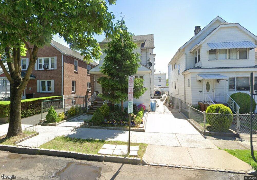
206 Ampere Pkwy Bloomfield, NJ 07003
Estimated Value: $482,556 - $704,000
5
Beds
2
Baths
2,241
Sq Ft
$277/Sq Ft
Est. Value
About This Home
This home is located at 206 Ampere Pkwy, Bloomfield, NJ 07003 and is currently estimated at $620,139, approximately $276 per square foot. 206 Ampere Pkwy is a home located in Essex County with nearby schools including Carteret School, Bloomfield Middle School, and Bloomfield High School.
Ownership History
Date
Name
Owned For
Owner Type
Purchase Details
Closed on
Feb 28, 2017
Sold by
206 Ampere Parkway Llc
Bought by
Calla Hilda R and Cruz Martinez J
Current Estimated Value
Purchase Details
Closed on
Feb 24, 2006
Purchase Details
Closed on
Mar 7, 1996
Sold by
Perez Edna
Bought by
Shabazz Naim and Uthman Agil
Home Financials for this Owner
Home Financials are based on the most recent Mortgage that was taken out on this home.
Original Mortgage
$163,000
Interest Rate
6.97%
Mortgage Type
FHA
Purchase Details
Closed on
Sep 3, 1992
Sold by
Terrezza Anna
Bought by
Perez Saturnino and Perez Edna
Create a Home Valuation Report for This Property
The Home Valuation Report is an in-depth analysis detailing your home's value as well as a comparison with similar homes in the area
Home Values in the Area
Average Home Value in this Area
Purchase History
| Date | Buyer | Sale Price | Title Company |
|---|---|---|---|
| Calla Hilda R | $200,000 | None Available | |
| -- | $400 | -- | |
| Shabazz Naim | $169,000 | -- | |
| Perez Saturnino | $155,000 | -- |
Source: Public Records
Mortgage History
| Date | Status | Borrower | Loan Amount |
|---|---|---|---|
| Previous Owner | Shabazz Naim | $163,000 |
Source: Public Records
Tax History Compared to Growth
Tax History
| Year | Tax Paid | Tax Assessment Tax Assessment Total Assessment is a certain percentage of the fair market value that is determined by local assessors to be the total taxable value of land and additions on the property. | Land | Improvement |
|---|---|---|---|---|
| 2025 | $10,069 | $308,100 | $94,200 | $213,900 |
| 2024 | $10,069 | $308,100 | $94,200 | $213,900 |
| 2022 | $9,865 | $308,100 | $94,200 | $213,900 |
| 2021 | $9,684 | $308,100 | $94,200 | $213,900 |
| 2020 | $9,536 | $308,100 | $94,200 | $213,900 |
| 2019 | $10,637 | $267,200 | $93,000 | $174,200 |
| 2018 | $10,592 | $267,200 | $93,000 | $174,200 |
| 2017 | $10,431 | $267,200 | $93,000 | $174,200 |
| 2016 | $10,314 | $267,200 | $93,000 | $174,200 |
| 2015 | $10,220 | $267,200 | $93,000 | $174,200 |
| 2014 | $10,033 | $267,200 | $93,000 | $174,200 |
Source: Public Records
Map
Nearby Homes
- 141 N 16th St
- 149 Leslie St
- 159 N 15th St
- 220 N 17th St
- 228 N 17th St
- 413 Beardsley Ave Unit 3
- 413 Beardsley Ave
- 205 N 15th St
- 110 N 17th St
- 200 N 15th St
- 18 Whitman Ave
- 7 Whitman Ave
- 105 N 15th St
- 65 Leslie St
- 101 Ellington St
- 265 N 17th St
- 267 N 17th St
- 62 Ampere Pkwy
- 489 N 11th St Unit 491
- 38 Hoffman Blvd
- 210 Ampere Pkwy Unit 1
- 204 Ampere Pkwy
- 200 Ampere Pkwy
- 212 Ampere Pkwy
- 187 N 17th St
- 183 N 17th St
- 191 N 17th St
- 214 Ampere Pkwy
- 181 N 17th St
- 195 N 17th St
- 216 Ampere Pkwy
- 199 N 17th St
- 192 Ampere Pkwy
- 0 Ampere Pkwy Unit 2nd floor
- 218 Ampere Pkwy Unit 1
- 218 Ampere Pkwy Unit 2
- 201 N 17th St
- 175 N 17th St
- 205 Ampere Pkwy
- 190 Ampere Pkwy