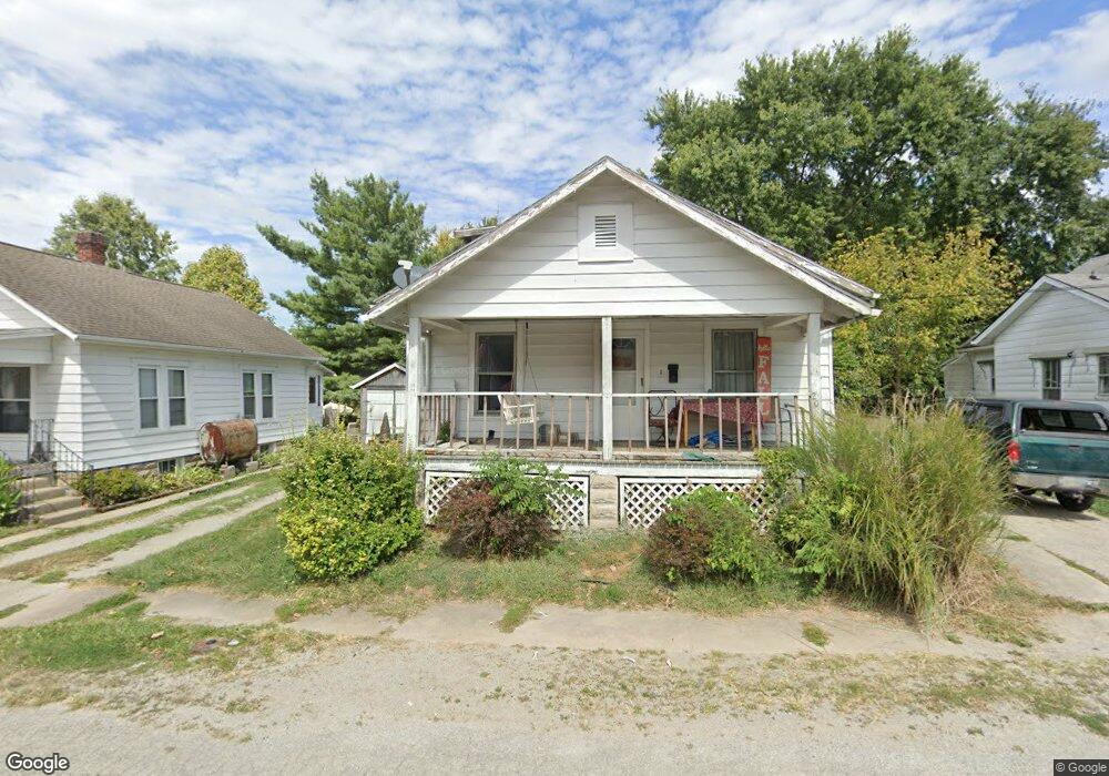
206 Andrews Ave Georgetown, OH 45121
Estimated Value: $131,904 - $183,000
2
Beds
1
Bath
982
Sq Ft
$152/Sq Ft
Est. Value
About This Home
This home is located at 206 Andrews Ave, Georgetown, OH 45121 and is currently estimated at $149,726, approximately $152 per square foot. 206 Andrews Ave is a home located in Brown County with nearby schools including Georgetown Elementary School and Georgetown Jr/Sr High School.
Ownership History
Date
Name
Owned For
Owner Type
Purchase Details
Closed on
Oct 11, 2002
Sold by
Waits Christopher R
Bought by
Day Dwight R
Current Estimated Value
Home Financials for this Owner
Home Financials are based on the most recent Mortgage that was taken out on this home.
Original Mortgage
$64,986
Outstanding Balance
$27,603
Interest Rate
6.34%
Mortgage Type
FHA
Estimated Equity
$122,123
Purchase Details
Closed on
May 12, 1997
Sold by
Anderson Katie M
Bought by
Waits Christopher R
Create a Home Valuation Report for This Property
The Home Valuation Report is an in-depth analysis detailing your home's value as well as a comparison with similar homes in the area
Home Values in the Area
Average Home Value in this Area
Purchase History
| Date | Buyer | Sale Price | Title Company |
|---|---|---|---|
| Day Dwight R | $65,500 | -- | |
| Waits Christopher R | $47,000 | -- |
Source: Public Records
Mortgage History
| Date | Status | Borrower | Loan Amount |
|---|---|---|---|
| Open | Day Dwight R | $64,986 |
Source: Public Records
Tax History Compared to Growth
Tax History
| Year | Tax Paid | Tax Assessment Tax Assessment Total Assessment is a certain percentage of the fair market value that is determined by local assessors to be the total taxable value of land and additions on the property. | Land | Improvement |
|---|---|---|---|---|
| 2024 | $1,119 | $31,590 | $3,130 | $28,460 |
| 2023 | $1,119 | $23,840 | $2,630 | $21,210 |
| 2022 | $919 | $23,840 | $2,630 | $21,210 |
| 2021 | $911 | $23,840 | $2,630 | $21,210 |
| 2020 | $806 | $19,860 | $2,180 | $17,680 |
| 2019 | $800 | $19,860 | $2,180 | $17,680 |
| 2018 | $794 | $19,860 | $2,180 | $17,680 |
| 2017 | $681 | $20,210 | $2,400 | $17,810 |
| 2016 | $681 | $20,210 | $2,400 | $17,810 |
| 2015 | $689 | $20,210 | $2,400 | $17,810 |
| 2014 | $711 | $19,990 | $2,180 | $17,810 |
| 2013 | $709 | $19,990 | $2,180 | $17,810 |
Source: Public Records
Map
Nearby Homes
- 102 Bill Dee Dr
- 405 N Main St
- 306 W 2nd St
- 402 S Pleasant St
- 104 Elm St
- 505 S Water St
- 406 E North St
- 508 Mount Orab Pike
- 403 Elmwood Ct
- 401 Elmwood Ct
- 60 New St
- 331 Spring Grove Dr
- 418 Home St
- 427 Kenwood Ave
- 666 E State St
- 874 Mount Orab Pike
- 0 St Rt 221 & Footbridge Unit 1826509
- 708 E State St
- 155 Free Soil Rd
- 25 Douglas Ln
- 204 Andrews Ave
- 203 Andrews Ave
- 203 W Plum St
- 207 W Plum St
- 209 Andrews Ave
- 211 Andrews Ave
- 201 N Pleasant St
- 300 Andrews Ave
- 109 N Pleasant St
- 303 W Plum St
- 301 Andrews Ave
- 304 Andrews Ave
- 107 N Pleasant St
- 205 N Pleasant St
- 305 Andrews Ave
- 307 Andrews Ave
- 200 N High St
- 308 Andrews Ave
- 308 Andrews Ave
- 206 W Grant Ave