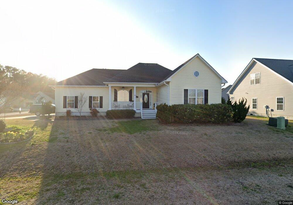
206 Anglers Way Beaufort, NC 28516
Estimated Value: $296,000 - $350,000
3
Beds
2
Baths
1,454
Sq Ft
$223/Sq Ft
Est. Value
About This Home
This home is located at 206 Anglers Way, Beaufort, NC 28516 and is currently estimated at $324,071, approximately $222 per square foot. 206 Anglers Way is a home located in Carteret County with nearby schools including Beaufort Elementary School, Beaufort Middle School, and East Carteret High School.
Ownership History
Date
Name
Owned For
Owner Type
Purchase Details
Closed on
Aug 9, 2018
Sold by
Pittman Clyde D and Pittman Angela J
Bought by
Reynolds Robert and Reynolds Mary
Current Estimated Value
Home Financials for this Owner
Home Financials are based on the most recent Mortgage that was taken out on this home.
Original Mortgage
$184,500
Outstanding Balance
$160,231
Interest Rate
4.5%
Mortgage Type
New Conventional
Estimated Equity
$163,840
Purchase Details
Closed on
May 11, 2009
Sold by
Pittman Angela J and Pittman Clyde D
Bought by
Pittman Angela J and Pittman Clyde D
Home Financials for this Owner
Home Financials are based on the most recent Mortgage that was taken out on this home.
Original Mortgage
$189,458
Interest Rate
4.8%
Mortgage Type
FHA
Purchase Details
Closed on
Mar 8, 2004
Create a Home Valuation Report for This Property
The Home Valuation Report is an in-depth analysis detailing your home's value as well as a comparison with similar homes in the area
Home Values in the Area
Average Home Value in this Area
Purchase History
| Date | Buyer | Sale Price | Title Company |
|---|---|---|---|
| Reynolds Robert | $205,000 | None Available | |
| Pittman Angela J | -- | None Available | |
| -- | $168,000 | -- |
Source: Public Records
Mortgage History
| Date | Status | Borrower | Loan Amount |
|---|---|---|---|
| Open | Reynolds Robert | $184,500 | |
| Previous Owner | Pittman Angela J | $189,458 |
Source: Public Records
Tax History Compared to Growth
Tax History
| Year | Tax Paid | Tax Assessment Tax Assessment Total Assessment is a certain percentage of the fair market value that is determined by local assessors to be the total taxable value of land and additions on the property. | Land | Improvement |
|---|---|---|---|---|
| 2025 | $1,117 | $291,017 | $40,413 | $250,604 |
| 2024 | $917 | $163,724 | $28,028 | $135,696 |
| 2023 | $834 | $163,724 | $28,028 | $135,696 |
| 2022 | $974 | $163,724 | $28,028 | $135,696 |
| 2021 | $409 | $163,724 | $28,028 | $135,696 |
| 2020 | $1,023 | $163,724 | $28,028 | $135,696 |
| 2019 | $1,009 | $170,010 | $28,028 | $141,982 |
| 2017 | $1,013 | $170,010 | $28,028 | $141,982 |
| 2016 | $988 | $170,010 | $28,028 | $141,982 |
| 2015 | $971 | $170,010 | $28,028 | $141,982 |
| 2014 | $1,043 | $187,567 | $41,395 | $146,172 |
Source: Public Records
Map
Nearby Homes
- 811 Sea Chaser Ct
- 107 Madison Bay Dr
- 134 Madison Bay Dr
- 919 Eastman Creek Dr
- 510 Shipmast Ct
- 167 Tuttles Grove Rd
- 107 Seahorse Dr
- 105 Seahorse Dr
- 154 Ware Creek
- 820 Laurel Rd
- 166 Heron Point Rd
- 1522 Highway 101
- 708 Comet Dr
- 510 Island Dr Unit Lot6
- 510 Island Dr
- 409 Island Dr Unit 54
- 409 Island Dr Unit 2
- 409 Island Dr
- 409 Island Dr Unit 49
- 291 Core Creek Rd
- 204 Anglers Way
- 300 Ransom Brook Ct
- 302 Ransom Brook Ct
- 108 Madison Bay Dr
- 115 Madison Bay Dr
- 202 Anglers Way
- 205 Anglers Way
- 111 Madison Bay Dr
- 117 Madison Bay Dr
- 106 Madison Bay Dr
- 109 Madison Bay Dr
- 301 Ransom Brook Ct
- 107 Noreaster Ln
- 306 Ransom Brook Ct
- 200 Anglers Way
- 119 Madison Bay Dr
- 110 Noreaster Ln
- 104 Madison Bay Dr
- 303 Ransom Brook Ct
- 120 Madison Bay Dr