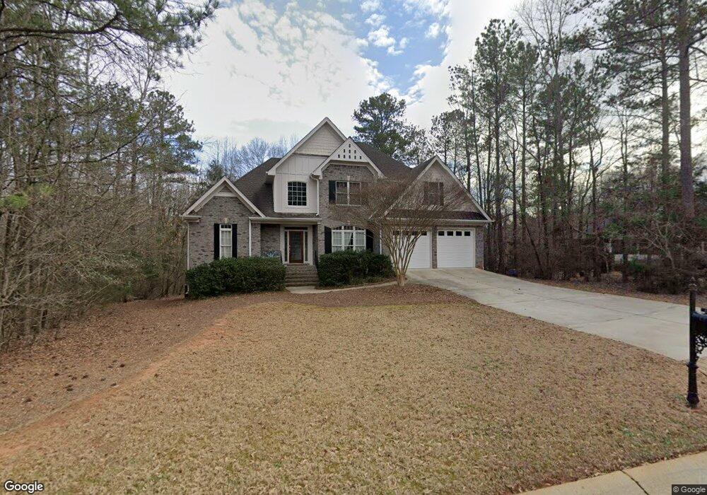
206 Ashbrook Way Athens, GA 30605
Estimated Value: $520,815 - $606,000
4
Beds
4
Baths
2,798
Sq Ft
$199/Sq Ft
Est. Value
About This Home
This home is located at 206 Ashbrook Way, Athens, GA 30605 and is currently estimated at $555,704, approximately $198 per square foot. 206 Ashbrook Way is a home located in Clarke County with nearby schools including Barnett Shoals Elementary School, Hilsman Middle School, and Cedar Shoals High School.
Ownership History
Date
Name
Owned For
Owner Type
Purchase Details
Closed on
Oct 5, 2015
Sold by
Glass Thomas E
Bought by
Glass Thomas and Glass Anne Howard
Current Estimated Value
Purchase Details
Closed on
Sep 28, 2005
Sold by
Michael J Ross Constructi
Bought by
Glass Thomas E and Glass Anne H P
Home Financials for this Owner
Home Financials are based on the most recent Mortgage that was taken out on this home.
Original Mortgage
$287,900
Interest Rate
5.66%
Mortgage Type
New Conventional
Purchase Details
Closed on
Mar 30, 2004
Sold by
Ashton Place Partnership
Bought by
Michael J Ross Construction Inc
Create a Home Valuation Report for This Property
The Home Valuation Report is an in-depth analysis detailing your home's value as well as a comparison with similar homes in the area
Home Values in the Area
Average Home Value in this Area
Purchase History
| Date | Buyer | Sale Price | Title Company |
|---|---|---|---|
| Glass Thomas | -- | -- | |
| Glass Thomas E | $359,900 | -- | |
| Michael J Ross Construction Inc | $37,500 | -- |
Source: Public Records
Mortgage History
| Date | Status | Borrower | Loan Amount |
|---|---|---|---|
| Previous Owner | Glass Thomas E | $287,900 |
Source: Public Records
Tax History Compared to Growth
Tax History
| Year | Tax Paid | Tax Assessment Tax Assessment Total Assessment is a certain percentage of the fair market value that is determined by local assessors to be the total taxable value of land and additions on the property. | Land | Improvement |
|---|---|---|---|---|
| 2025 | $4,165 | $225,398 | $23,000 | $202,398 |
| 2024 | $4,165 | $210,998 | $20,700 | $190,298 |
| 2023 | $4,202 | $191,053 | $20,700 | $170,353 |
| 2022 | $3,954 | $167,822 | $20,700 | $147,122 |
| 2021 | $3,911 | $148,981 | $20,700 | $128,281 |
| 2020 | $3,786 | $139,878 | $20,700 | $119,178 |
| 2019 | $3,710 | $132,120 | $20,700 | $111,420 |
| 2018 | $3,678 | $129,821 | $20,700 | $109,121 |
| 2017 | $0 | $118,786 | $20,700 | $98,086 |
| 2016 | $3,540 | $119,876 | $20,700 | $99,176 |
| 2015 | $3,555 | $120,965 | $20,700 | $100,265 |
| 2014 | $3,466 | $114,603 | $20,700 | $93,903 |
Source: Public Records
Map
Nearby Homes
- Lot 14 Ashbrook Way
- Lot 32 Ashbrook Way
- Lot 13 Ashbrook Way
- 210 Ashbrook Way
- 132 Ashbrook Dr
- 202 Ashbrook Way
- 340 Ashbrook Ln
- Lot 56 Ashbrook Dr
- 35A Ashbrook Dr
- 36A Ashbrook Dr
- 178 Ashbrook Dr
- 205 Ashbrook Way
- 324 Ashbrook Ln
- 344 Ashbrook Ln
- 128 Ashbrook Dr
- 140 Ashbrook Dr
- 133 Ashbrook Dr
- 333 Ashbrook Ln
- 329 Ashbrook Ln
- Lot 52 Lindmar Ct