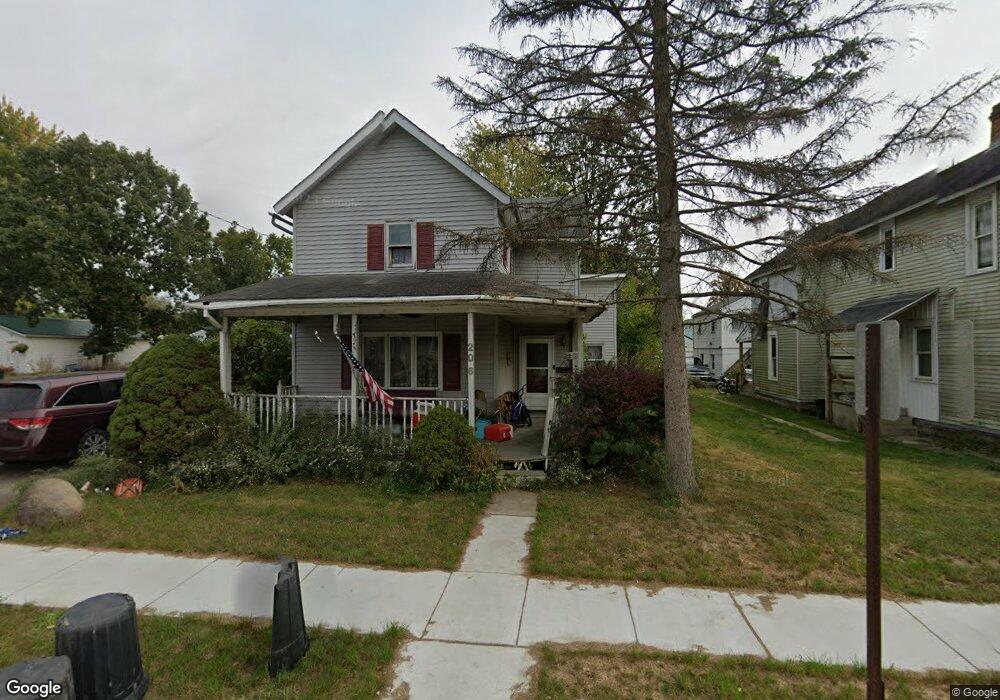
206 Barnhart St Marion, OH 43302
Estimated Value: $152,000 - $397,332
4
Beds
1
Bath
1,880
Sq Ft
$121/Sq Ft
Est. Value
About This Home
This home is located at 206 Barnhart St, Marion, OH 43302 and is currently estimated at $227,833, approximately $121 per square foot. 206 Barnhart St is a home located in Marion County with nearby schools including George Washington Elementary School, Ulysses S. Grant Middle School, and Harding High School.
Ownership History
Date
Name
Owned For
Owner Type
Purchase Details
Closed on
Feb 21, 2024
Sold by
Stage Douglas E and Stage Ruth
Bought by
Stage Jessica
Current Estimated Value
Purchase Details
Closed on
Nov 28, 2018
Sold by
Estate Of Darrell E Stage
Bought by
Stage Laura J
Purchase Details
Closed on
Oct 13, 2017
Sold by
Estate Of Vernon E Stage
Bought by
Beatty Mary L and Boswell Rebecca L
Create a Home Valuation Report for This Property
The Home Valuation Report is an in-depth analysis detailing your home's value as well as a comparison with similar homes in the area
Home Values in the Area
Average Home Value in this Area
Purchase History
| Date | Buyer | Sale Price | Title Company |
|---|---|---|---|
| Stage Jessica | $49,750 | None Listed On Document | |
| Stage Jessica | $49,750 | None Listed On Document | |
| Stage Laura J | $215,000 | None Available | |
| Beatty Mary L | -- | None Available |
Source: Public Records
Tax History Compared to Growth
Tax History
| Year | Tax Paid | Tax Assessment Tax Assessment Total Assessment is a certain percentage of the fair market value that is determined by local assessors to be the total taxable value of land and additions on the property. | Land | Improvement |
|---|---|---|---|---|
| 2024 | $1,145 | $29,880 | $2,980 | $26,900 |
| 2023 | $1,145 | $29,880 | $2,980 | $26,900 |
| 2022 | $1,063 | $29,880 | $2,980 | $26,900 |
| 2021 | $888 | $22,490 | $1,800 | $20,690 |
| 2020 | $890 | $22,490 | $1,800 | $20,690 |
| 2019 | $867 | $22,490 | $1,800 | $20,690 |
| 2018 | $955 | $24,130 | $1,800 | $22,330 |
| 2017 | $967 | $24,130 | $1,800 | $22,330 |
| 2016 | $963 | $24,130 | $1,800 | $22,330 |
| 2015 | $964 | $23,630 | $1,720 | $21,910 |
| 2014 | $964 | $23,630 | $1,720 | $21,910 |
| 2012 | $612 | $24,060 | $2,660 | $21,400 |
Source: Public Records
Map
Nearby Homes
- 174 Barnhart St
- 921 Adams St
- 851 E Center St
- 250 N Grand Ave
- 126 S Seffner Ave
- 224 Jefferson St
- 699 Wilson Ave
- 1090 E Church St
- 164 Clover Ave
- 222 Uhler Ave
- 159 Jefferson St
- 357 Franconia Ave
- 1185 E Center St
- 1225 Ackerman Ave
- 144 Spencer St
- 249 S Grand Ave
- 310 Denning Ave
- 0 Denning Ave
- 145 Sara Ave
- 381 Forest Lawn Blvd
- 200 Barnhart St
- 212 Barnhart St
- 196 Barnhart St
- 222 Barnhart St
- 192 Barnhart St
- 207 Chicago Ave
- 228 Barnhart St
- 221 Barnhart St
- 203 Chicago Ave
- 213 Chicago Ave
- 186 Barnhart St
- 195 Chicago Ave
- 219 Chicago Ave
- 230 Barnhart St
- 207 Barnhart St
- 215 Barnhart St
- 191 Chicago Ave
- 201 Barnhart St
- 184 Barnhart St
- 229 Barnhart St