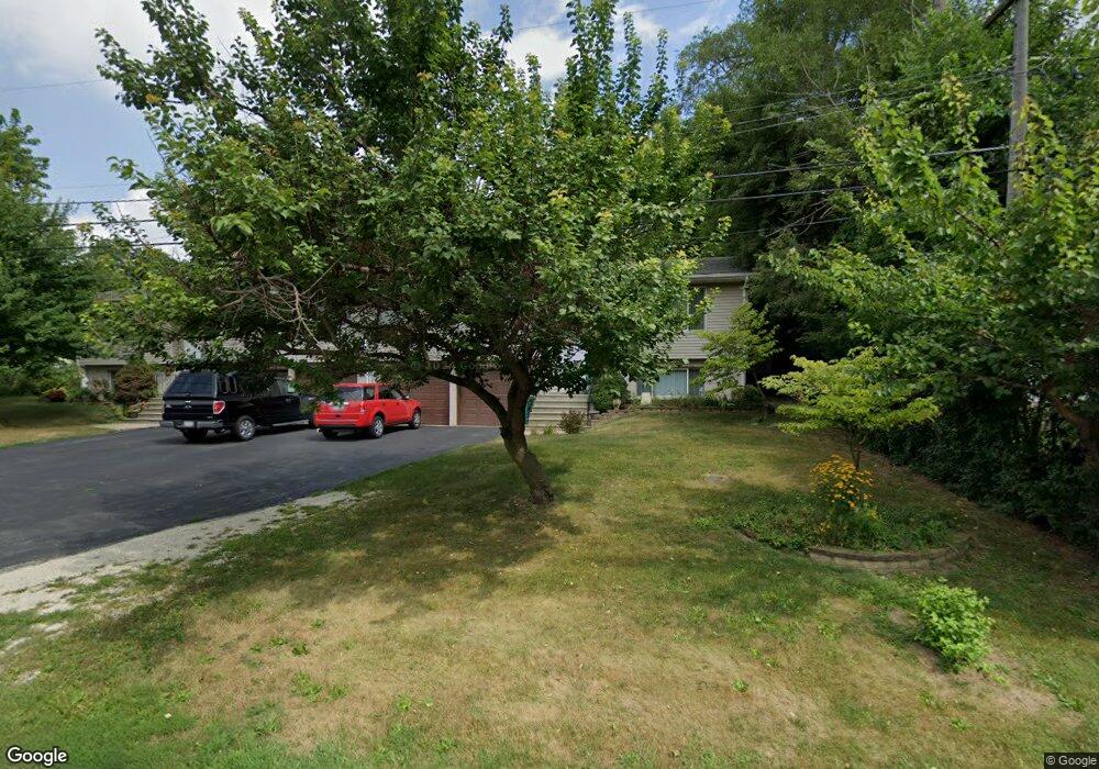
206 Bluff St Lockport, IL 60441
Estimated Value: $321,000 - $420,000
Studio
--
Bath
--
Sq Ft
6,534
Sq Ft Lot
About This Home
This home is located at 206 Bluff St, Lockport, IL 60441 and is currently estimated at $371,045. 206 Bluff St is a home located in Will County with nearby schools including Ludwig Elementary School, Walsh Elementary School, and Reed Elementary School.
Ownership History
Date
Name
Owned For
Owner Type
Purchase Details
Closed on
Feb 18, 2010
Sold by
Fallon Frances F
Bought by
Fallon Jerrold P and Fallon Frances F
Current Estimated Value
Purchase Details
Closed on
Dec 7, 2009
Sold by
Fallon Jerrold P and Fallon Frances F
Bought by
Fallon Jerrold P and Fallon Frances F
Purchase Details
Closed on
Nov 11, 1993
Sold by
First National Bank Of Lockport
Bought by
Fallon Jerrold P and Fallon Frances F
Create a Home Valuation Report for This Property
The Home Valuation Report is an in-depth analysis detailing your home's value as well as a comparison with similar homes in the area
Home Values in the Area
Average Home Value in this Area
Purchase History
| Date | Buyer | Sale Price | Title Company |
|---|---|---|---|
| Fallon Jerrold P | -- | None Available | |
| Fallon Jerrold P | -- | None Available | |
| Fallon Jerrold P | $28,000 | Chicago Title Insurance Co |
Source: Public Records
Tax History
| Year | Tax Paid | Tax Assessment Tax Assessment Total Assessment is a certain percentage of the fair market value that is determined by local assessors to be the total taxable value of land and additions on the property. | Land | Improvement |
|---|---|---|---|---|
| 2024 | $8,680 | $129,943 | $25,594 | $104,349 |
| 2023 | $8,680 | $116,656 | $22,977 | $93,679 |
| 2022 | $7,095 | $99,555 | $19,609 | $79,946 |
| 2021 | $6,630 | $93,558 | $18,428 | $75,130 |
| 2020 | $6,440 | $90,482 | $17,822 | $72,660 |
| 2019 | $6,040 | $85,765 | $16,893 | $68,872 |
| 2018 | $5,891 | $82,443 | $16,239 | $66,204 |
| 2017 | $5,583 | $77,828 | $15,330 | $62,498 |
| 2016 | $4,925 | $69,074 | $13,606 | $55,468 |
| 2015 | $4,024 | $62,002 | $12,213 | $49,789 |
| 2014 | $4,024 | $56,883 | $11,205 | $45,678 |
| 2013 | $4,024 | $56,883 | $11,205 | $45,678 |
Source: Public Records
Map
Nearby Homes
- 118 N State St
- 417 Thornton St
- 120 N State St
- 805 Maryknoll Dr
- 927 Treeline Ct Unit A
- 134 S Jefferson St
- 629 Thornton St
- 107 S State St
- 936 Treeline Ct Unit 5B
- 310 Mccameron Ave
- 500 Clinton St
- 1330 Lacoma Ct
- 904 Cove Ave
- 1600 Fairmount
- 17439 W Windemere Cir
- 0 151st & MacGregor St Unit MRD11873272
- 0 Smith Rd South of 135th St Unit MRD12274096
- 0 N State St Unit 10995892
- 1016 S State St
- 118 E 11th St
Your Personal Tour Guide
Ask me questions while you tour the home.