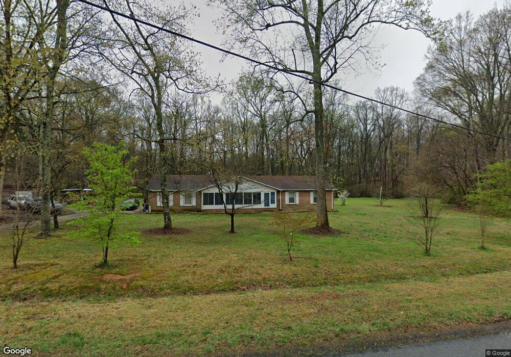
206 Brookfield Cir Salisbury, NC 28146
Estimated Value: $306,980 - $393,000
About This Home
This home is located at 206 Brookfield Cir, Salisbury, NC 28146 and is currently estimated at $338,245, approximately $191 per square foot. 206 Brookfield Cir is a home located in Rowan County with nearby schools including China Grove Elementary School, Southeast Middle School, and Jesse C Carson High School.
Ownership History
We collect this data history from publicly available records. To have your information removed, we recommend requesting removal directly through your county’s website.
Purchase Details
Home Financials for this Owner
Home Financials are based on the most recent Mortgage that was taken out on this home.Purchase Details
Purchase History
We collect this data history from publicly available records. To have your information removed, we recommend requesting removal directly through your county’s website.
| Date | Buyer | Sale Price | Title Company |
|---|---|---|---|
| -- | Servicelink | ||
| -- | None Listed On Document | ||
| -- | -- |
Mortgage History
We collect this data history from publicly available records. To have your information removed, we recommend requesting removal directly through your county’s website.
| Date | Status | Borrower | Loan Amount |
|---|---|---|---|
| Open | $244,821 | ||
| Closed | $244,821 |
Tax History
We collect this data history from publicly available records. To have your information removed, we recommend requesting removal directly through your county’s website.
| Year | Tax Paid | Tax Assessment Tax Assessment Total Assessment is a certain percentage of the fair market value that is determined by local assessors to be the total taxable value of land and additions on the property. | Land | Improvement |
|---|---|---|---|---|
| 2025 | $1,702 | $254,038 | $52,500 | $201,538 |
| 2024 | $1,702 | $254,038 | $52,500 | $201,538 |
| 2023 | $1,702 | $254,038 | $52,500 | $201,538 |
| 2022 | $1,271 | $170,078 | $46,200 | $123,878 |
| 2021 | $1,262 | $170,078 | $46,200 | $123,878 |
| 2020 | $1,262 | $170,078 | $46,200 | $123,878 |
| 2019 | $1,262 | $170,078 | $46,200 | $123,878 |
| 2018 | $1,087 | $147,669 | $46,200 | $101,469 |
| 2017 | $1,087 | $147,669 | $46,200 | $101,469 |
| 2016 | $1,087 | $147,669 | $46,200 | $101,469 |
| 2015 | $1,103 | $147,669 | $46,200 | $101,469 |
| 2014 | $1,034 | $145,177 | $45,150 | $100,027 |
Map
- 0 Brookfield Cir Unit CAR4292885
- 1143 Tyre Dr
- 1146 Tyre Dr
- 1352 Eva Ln
- 112 John Michael Ln
- 0 Blackwelder Rd Unit 2
- 0 Blackwelder Rd Unit 3
- 1084 Castlebrook Dr
- 5475 Bertie Ave
- 5510 S Main St
- 6255 Meadow Ln
- 425 Acorn Oaks Dr
- 209 Frontier Cir
- 1140 Peeler Rd
- 0 Kitty Ln Unit CAR4379756
- 850 Nc 152 E
- 4935 S Main St
- 6421 Old Concord Rd
- 475 Pamela St
- 185 Garden Ln
- 205 Brookfield Cir
- 103 Fieldstone Dr
- 304 Brookfield Cir
- 105 Fieldstone Dr
- 107 Fieldstone Dr
- 152 Brookfield Cir
- 305 Brookfield Cir
- 305 Brookfield Cir Unit 66/67
- 306 Brookfield Cir
- 110 Fieldstone Dr
- 111 Fieldstone Dr
- 308 Brookfield Cir
- 403 Brookfield Cir
- 215 Fieldstone Dr
- 670 Leach Rd
- 405 Brookfield Cir
- 820 Leach Rd
- 222 Fieldstone Dr
- 407 Brookfield Cir
- 810 Ed Weavers Rd
Ask me questions while you tour the home.