206 Cherokee Cir Royersford, PA 19468
Limerick Township NeighborhoodEstimated Value: $421,000 - $433,000
3
Beds
3
Baths
1,764
Sq Ft
$242/Sq Ft
Est. Value
About This Home
This home is located at 206 Cherokee Cir, Royersford, PA 19468 and is currently estimated at $426,464, approximately $241 per square foot. 206 Cherokee Cir is a home located in Montgomery County with nearby schools including Brooke Elementary School, Spring-Ford Middle School 8th Grade Center, and Spring-Ford Middle School 5/6/7 Grade Center.
Ownership History
Date
Name
Owned For
Owner Type
Purchase Details
Closed on
Apr 4, 2006
Sold by
Collins Brian R
Bought by
Latif Mohammad
Current Estimated Value
Home Financials for this Owner
Home Financials are based on the most recent Mortgage that was taken out on this home.
Original Mortgage
$228,000
Outstanding Balance
$131,099
Interest Rate
6.37%
Estimated Equity
$295,365
Purchase Details
Closed on
Dec 29, 1998
Sold by
Callis James A and Callis Margo
Bought by
Collins Brian R
Create a Home Valuation Report for This Property
The Home Valuation Report is an in-depth analysis detailing your home's value as well as a comparison with similar homes in the area
Home Values in the Area
Average Home Value in this Area
Purchase History
| Date | Buyer | Sale Price | Title Company |
|---|---|---|---|
| Latif Mohammad | $240,000 | None Available | |
| Collins Brian R | $121,000 | -- |
Source: Public Records
Mortgage History
| Date | Status | Borrower | Loan Amount |
|---|---|---|---|
| Open | Latif Mohammad | $228,000 |
Source: Public Records
Tax History Compared to Growth
Tax History
| Year | Tax Paid | Tax Assessment Tax Assessment Total Assessment is a certain percentage of the fair market value that is determined by local assessors to be the total taxable value of land and additions on the property. | Land | Improvement |
|---|---|---|---|---|
| 2025 | $4,521 | $116,910 | $24,430 | $92,480 |
| 2024 | $4,521 | $116,910 | $24,430 | $92,480 |
| 2023 | $4,313 | $116,910 | $24,430 | $92,480 |
| 2022 | $4,167 | $116,910 | $24,430 | $92,480 |
| 2021 | $4,069 | $116,910 | $24,430 | $92,480 |
| 2020 | $3,966 | $116,910 | $24,430 | $92,480 |
| 2019 | $3,893 | $116,910 | $24,430 | $92,480 |
| 2018 | $2,939 | $116,910 | $24,430 | $92,480 |
| 2017 | $3,821 | $116,910 | $24,430 | $92,480 |
| 2016 | $3,775 | $116,910 | $24,430 | $92,480 |
| 2015 | $3,613 | $116,910 | $24,430 | $92,480 |
| 2014 | $3,613 | $116,910 | $24,430 | $92,480 |
Source: Public Records
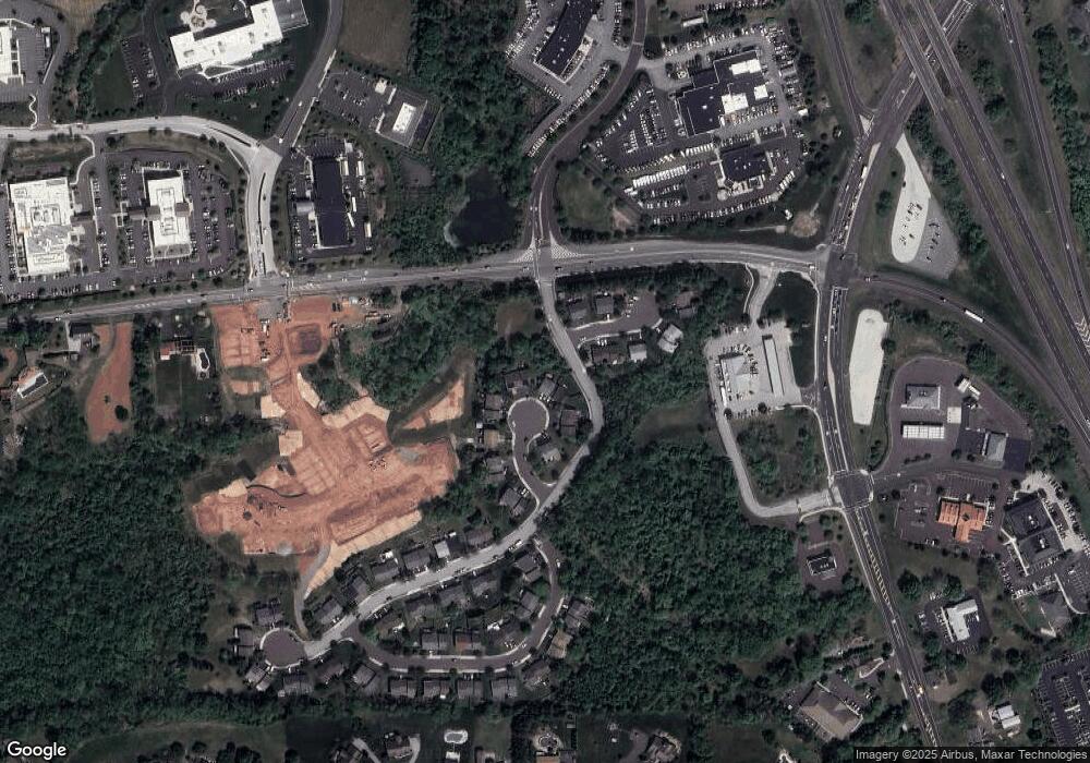
Map
Nearby Homes
- 511 Linfield Rd
- 303 Aronimink Dr
- The Sutton Grand Plan at Alderwood Run
- The Carlton Grand Plan at Alderwood Run
- The Sutton Plan at Alderwood Run
- The Carlton Plan at Alderwood Run
- Alderwood Lane#Carlt Alderwood Ln
- 691 N Lewis Rd
- 135 Winged Foot Ct
- 33 King Way
- 74 Victory Way
- 420 N Lewis Rd
- 34 Mill Ln
- 111 Merion Dr
- 75 Gristmill Ln
- 107 Bayberry Dr
- 152 Merion Dr
- 2004 Drake Run
- 25 Pageant Ct
- 358 Limerick Center Rd
- 207 Cherokee Cir
- 205 Cherokee Cir
- 208 Cherokee Cir
- 204 Cherokee Cir
- 209 Cherokee Cir
- 203 Cherokee Cir
- 101 Apache Ln
- 210 Cherokee Cir
- 202 Cherokee Cir
- 211 Cherokee Cir
- 102 Apache Ln
- 112 Apache Ln
- 201 Cherokee Cir Unit 13
- 212 Cherokee Cir
- 111 Apache Ln
- 103 Apache Ln
- 213 Cherokee Cir
- 110 Apache Ln
- 109 Apache Ln
- 214 Cherokee Cir