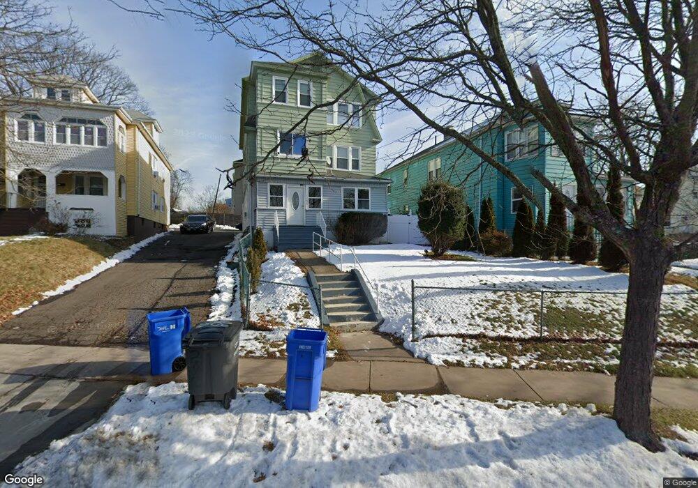
206 Cornwall St Unit 208 Hartford, CT 06112
Blue Hills NeighborhoodEstimated Value: $330,958 - $487,000
6
Beds
3
Baths
3,744
Sq Ft
$107/Sq Ft
Est. Value
About This Home
This home is located at 206 Cornwall St Unit 208, Hartford, CT 06112 and is currently estimated at $399,240, approximately $106 per square foot. 206 Cornwall St Unit 208 is a home located in Hartford County with nearby schools including Rawson School, Noah Webster Micro Society School, and McKinley School.
Ownership History
Date
Name
Owned For
Owner Type
Purchase Details
Closed on
May 31, 2002
Sold by
Thomas Joyce
Bought by
Rodney Andrew and Rodney Jeffrey Wendy
Current Estimated Value
Home Financials for this Owner
Home Financials are based on the most recent Mortgage that was taken out on this home.
Original Mortgage
$138,900
Outstanding Balance
$58,941
Interest Rate
7%
Mortgage Type
Purchase Money Mortgage
Estimated Equity
$340,299
Purchase Details
Closed on
Jan 6, 1987
Sold by
Thomas Donald
Bought by
Thomas Joyce
Create a Home Valuation Report for This Property
The Home Valuation Report is an in-depth analysis detailing your home's value as well as a comparison with similar homes in the area
Home Values in the Area
Average Home Value in this Area
Purchase History
| Date | Buyer | Sale Price | Title Company |
|---|---|---|---|
| Rodney Andrew | $140,000 | -- | |
| Thomas Joyce | $40,000 | -- |
Source: Public Records
Mortgage History
| Date | Status | Borrower | Loan Amount |
|---|---|---|---|
| Open | Thomas Joyce | $88,188 | |
| Open | Thomas Joyce | $138,900 | |
| Closed | Thomas Joyce | $3,300 | |
| Previous Owner | Thomas Joyce | $57,000 |
Source: Public Records
Tax History Compared to Growth
Tax History
| Year | Tax Paid | Tax Assessment Tax Assessment Total Assessment is a certain percentage of the fair market value that is determined by local assessors to be the total taxable value of land and additions on the property. | Land | Improvement |
|---|---|---|---|---|
| 2025 | $7,021 | $101,834 | $6,101 | $95,733 |
| 2024 | $7,021 | $101,834 | $6,101 | $95,733 |
| 2023 | $7,021 | $101,834 | $6,101 | $95,733 |
| 2022 | $7,022 | $101,835 | $6,101 | $95,734 |
| 2021 | $4,376 | $58,905 | $7,210 | $51,695 |
| 2020 | $4,376 | $58,905 | $7,210 | $51,695 |
| 2019 | $4,376 | $58,905 | $7,210 | $51,695 |
| 2018 | $4,229 | $56,919 | $6,967 | $49,952 |
| 2016 | $4,221 | $56,818 | $6,635 | $50,183 |
| 2015 | $4,021 | $54,120 | $6,321 | $47,799 |
| 2014 | $3,922 | $52,797 | $6,166 | $46,631 |
Source: Public Records
Map
Nearby Homes
- 157 Pembroke St Unit 159
- 102 Thomaston St Unit 104
- 83 Colebrook St Unit 85
- 211 Holcomb St Unit 213
- 218 Holcomb St Unit 220
- 181 Westminster St
- 355 Cornwall St Unit 357
- 179 Manchester St
- 90 Manchester St
- 25 Cornwall St
- 111 Westbourne Pkwy Unit 113
- 86 Hartland St
- 109 Blue Hills Ave
- 138 Kent St Unit 140
- 103 Baltimore St
- 11 Pershing St Unit 13
- 10 Baltic St Unit 12
- 77 Harold St
- 36 Baltic St Unit 38
- 70 Burnham St Unit 72
- 210 Cornwall St Unit 212
- 202 Cornwall St Unit 204
- 112 Pembroke St Unit 114
- 112 Pembroke St Unit 2
- 112-114 Pembroke St
- 112-114 Pembroke St Unit 3
- 216 Cornwall St
- 108 Pembroke St Unit 110
- 205 Cornwall St Unit 207
- 109 Pembroke St Unit 111
- 117 Pembroke St Unit 119
- 222 Cornwall St Unit 224
- 113 Pembroke St Unit 115
- 104 Pembroke St Unit 106
- 211 Cornwall St
- 105 Pembroke St Unit 107
- 111 Colebrook St
- 201 Cornwall St Unit 203
- 219 Cornwall St
- 188 Cornwall St