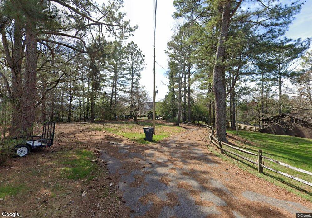
206 Crest Dr Rock Spring, GA 30739
Rock Spring NeighborhoodEstimated Value: $432,000 - $544,000
3
Beds
3
Baths
2,926
Sq Ft
$169/Sq Ft
Est. Value
About This Home
This home is located at 206 Crest Dr, Rock Spring, GA 30739 and is currently estimated at $495,713, approximately $169 per square foot. 206 Crest Dr is a home located in Walker County with nearby schools including Rock Spring Elementary School, Lafayette High School, and Alice M Daley Adventist School.
Ownership History
Date
Name
Owned For
Owner Type
Purchase Details
Closed on
Apr 12, 2007
Sold by
Not Provided
Bought by
Wilbanks Dennis G and Wilbanks Carol J
Current Estimated Value
Home Financials for this Owner
Home Financials are based on the most recent Mortgage that was taken out on this home.
Original Mortgage
$229,189
Outstanding Balance
$138,192
Interest Rate
6.1%
Mortgage Type
New Conventional
Estimated Equity
$357,521
Purchase Details
Closed on
Mar 21, 2001
Bought by
Carlock Jefferson F
Create a Home Valuation Report for This Property
The Home Valuation Report is an in-depth analysis detailing your home's value as well as a comparison with similar homes in the area
Home Values in the Area
Average Home Value in this Area
Purchase History
| Date | Buyer | Sale Price | Title Company |
|---|---|---|---|
| Wilbanks Dennis G | $265,000 | -- | |
| Carlock Jefferson F | -- | -- |
Source: Public Records
Mortgage History
| Date | Status | Borrower | Loan Amount |
|---|---|---|---|
| Open | Wilbanks Dennis G | $229,189 |
Source: Public Records
Tax History Compared to Growth
Tax History
| Year | Tax Paid | Tax Assessment Tax Assessment Total Assessment is a certain percentage of the fair market value that is determined by local assessors to be the total taxable value of land and additions on the property. | Land | Improvement |
|---|---|---|---|---|
| 2024 | $3,686 | $166,770 | $15,605 | $151,165 |
| 2023 | $3,552 | $157,032 | $12,385 | $144,647 |
| 2022 | $3,542 | $144,004 | $15,855 | $128,149 |
| 2021 | $3,364 | $123,362 | $15,855 | $107,507 |
| 2020 | $2,660 | $91,666 | $15,855 | $75,811 |
| 2019 | $2,683 | $90,766 | $15,855 | $74,911 |
| 2018 | $2,402 | $90,766 | $15,855 | $74,911 |
| 2017 | $2,833 | $90,766 | $15,855 | $74,911 |
| 2016 | $2,302 | $90,766 | $15,855 | $74,911 |
| 2015 | $2,436 | $90,539 | $29,460 | $61,079 |
| 2014 | $2,299 | $90,539 | $29,460 | $61,079 |
| 2013 | -- | $90,539 | $29,460 | $61,079 |
Source: Public Records
Map
Nearby Homes
- 5602 Georgia 95
- 00 Georgia 95
- 1902 Long Hollow Rd
- 1003 Highway N Old 27
- 1370 Old Highway 27
- 701 Bicentennial Trail
- 10180 Us Highway 27
- 195 Honeysuckle Dr
- 59 Honeysuckle Dr
- 1476 Arnold Rd
- 36 Pheonix Cir
- 954 Goodson Cir
- 15 Willow Cir
- 386 Twelve Oaks Dr
- 1121 Arnold Rd
- 23 Willow Cir
- 16 Willow Cir
- 285 Cooper Rd
- 11 Willow Cir
- The Pearson Plan at Laurel Ridge