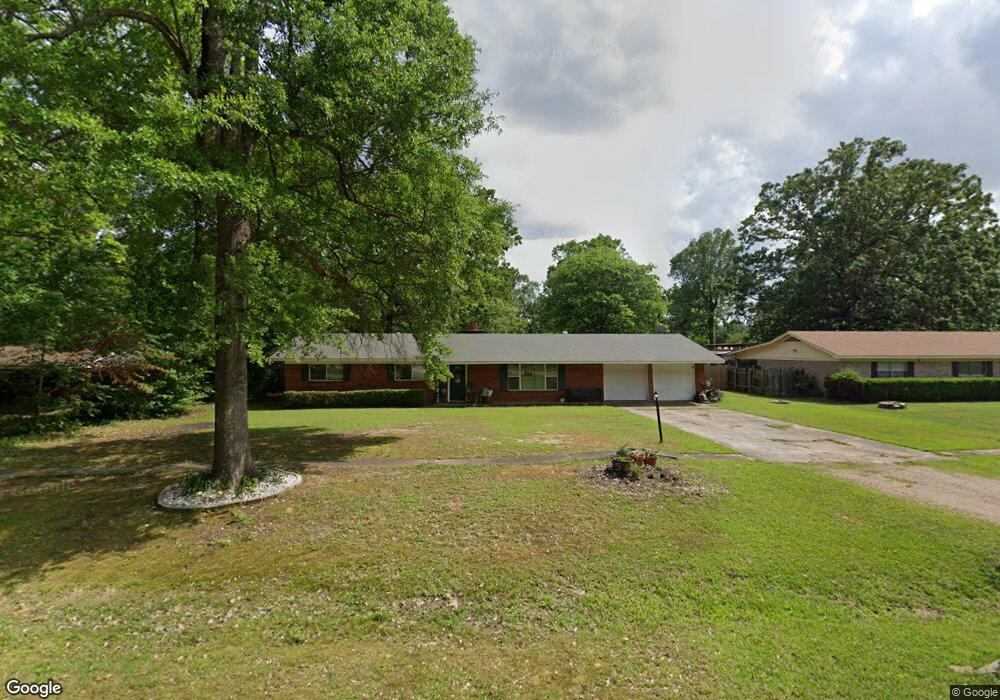
206 Cummings Ln Texarkana, TX 75501
Estimated Value: $174,000 - $233,000
--
Bed
--
Bath
1,719
Sq Ft
$115/Sq Ft
Est. Value
About This Home
This home is located at 206 Cummings Ln, Texarkana, TX 75501 and is currently estimated at $197,530, approximately $114 per square foot. 206 Cummings Ln is a home located in Bowie County with nearby schools including Liberty-Eylau Early Childhood Center, Liberty-Eylau C.K. Bender Elementary Campus, and Liberty-Eylau Primary School.
Ownership History
Date
Name
Owned For
Owner Type
Purchase Details
Closed on
Jan 18, 2021
Sold by
Pickering Charles and Pickering Wanda
Bought by
Gibbs Charlotte D and Pickering Terry K
Current Estimated Value
Purchase Details
Closed on
Oct 5, 2010
Sold by
Robinson Lee E and Robinson Casey L
Bought by
Gibbs Charlotte D
Home Financials for this Owner
Home Financials are based on the most recent Mortgage that was taken out on this home.
Original Mortgage
$110,880
Outstanding Balance
$73,143
Interest Rate
4.42%
Mortgage Type
New Conventional
Estimated Equity
$124,387
Create a Home Valuation Report for This Property
The Home Valuation Report is an in-depth analysis detailing your home's value as well as a comparison with similar homes in the area
Home Values in the Area
Average Home Value in this Area
Purchase History
| Date | Buyer | Sale Price | Title Company |
|---|---|---|---|
| Gibbs Charlotte D | -- | None Available | |
| Gibbs Charlotte D | -- | Twin City Title Co |
Source: Public Records
Mortgage History
| Date | Status | Borrower | Loan Amount |
|---|---|---|---|
| Open | Gibbs Charlotte D | $110,880 |
Source: Public Records
Tax History Compared to Growth
Tax History
| Year | Tax Paid | Tax Assessment Tax Assessment Total Assessment is a certain percentage of the fair market value that is determined by local assessors to be the total taxable value of land and additions on the property. | Land | Improvement |
|---|---|---|---|---|
| 2025 | $1,276 | $175,072 | -- | -- |
| 2024 | $1,276 | $159,156 | $16,000 | $153,696 |
| 2023 | $2,162 | $144,687 | $0 | $0 |
| 2022 | $2,266 | $145,806 | $16,000 | $129,806 |
| 2021 | $2,191 | $119,576 | $14,500 | $105,076 |
| 2020 | $2,124 | $115,085 | $14,500 | $100,585 |
| 2019 | $2,152 | $110,813 | $14,500 | $96,313 |
| 2018 | $2,089 | $107,535 | $14,500 | $93,035 |
| 2017 | $2,074 | $107,168 | $14,500 | $92,668 |
| 2016 | $2,074 | $107,168 | $14,500 | $92,668 |
| 2015 | $1,659 | $106,367 | $14,500 | $91,867 |
| 2014 | $1,659 | $104,452 | $14,500 | $89,952 |
Source: Public Records
Map
Nearby Homes
- 6514 Buchanan Loop Rd
- 101 Redwood Dr
- 403 Brookfield St
- 194 W Starlite Dr
- 280 Patriot Way
- 0 Randall Rd
- 2043 Randall Rd
- 6815 Buchanan Loop Rd
- 6 Southridge St
- lot15 B2 Quail Brook
- lot15 B1 Quail Brook
- lot14 B2 Quail Brook
- Lot 1 B2 Quail Brook
- 6606 Us-59
- 6606 Us Highway 59 S
- 39 Quail Brook Dr
- 144 Joe Tyl Rd
- 7689 Us-59
- 7685 State Highway 59
- 5789 U S 59
- 208 Cummings Ln
- 205 Redwood Dr
- 210 Cummings Ln
- 207 Redwood Dr
- 203 Redwood Dr
- 200 Cummings Ln
- 209 Redwood Dr
- 201 Redwood Dr
- 212 Cummings Ln
- 112 Cummings Ln
- 211 Redwood Dr
- 111 Redwood Dr
- 101 Brookfield
- 121 Cummings Ln
- 206 Redwood Dr
- 208 Redwood Dr
- 204 Redwood Dr
- 110 Cummings Ln
- 210 Redwood Dr
- 202 Redwood Dr