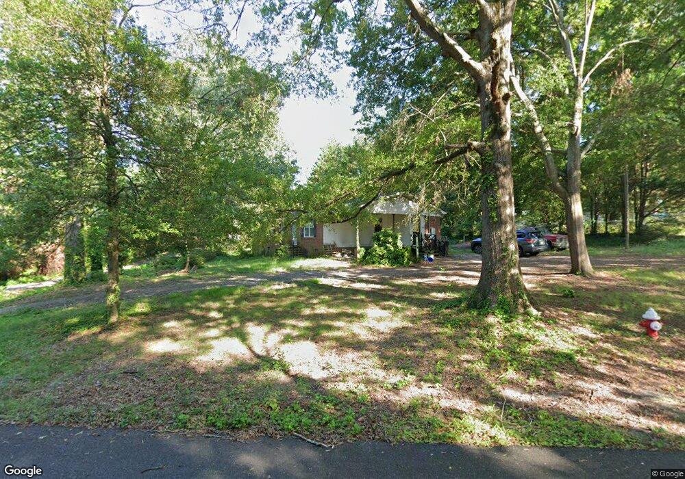
206 Dale Dr Cherryville, NC 28021
Estimated Value: $223,915 - $253,000
3
Beds
2
Baths
1,400
Sq Ft
$171/Sq Ft
Est. Value
About This Home
This home is located at 206 Dale Dr, Cherryville, NC 28021 and is currently estimated at $239,979, approximately $171 per square foot. 206 Dale Dr is a home located in Gaston County with nearby schools including Cherryville Elementary School, William B. Beam Intermediate School, and John Chavis Middle School.
Ownership History
Date
Name
Owned For
Owner Type
Purchase Details
Closed on
Sep 30, 2009
Sold by
Langill Kevin and Langill Tisha
Bought by
Green Robert A and Green Melissa R
Current Estimated Value
Home Financials for this Owner
Home Financials are based on the most recent Mortgage that was taken out on this home.
Original Mortgage
$101,500
Outstanding Balance
$66,379
Interest Rate
5.11%
Mortgage Type
New Conventional
Estimated Equity
$173,600
Purchase Details
Closed on
Apr 12, 2006
Sold by
Langill Kevin and Langill Tisha
Bought by
Langill Kevin and Langill Tisha
Purchase Details
Closed on
Jun 28, 2005
Sold by
Canipe Vernon H
Bought by
Va
Purchase Details
Closed on
Jul 12, 2000
Sold by
Pace Lee T Benita J
Bought by
Canipe Vernon H and Canipe Ruby A
Home Financials for this Owner
Home Financials are based on the most recent Mortgage that was taken out on this home.
Original Mortgage
$74,469
Interest Rate
8.54%
Mortgage Type
VA
Create a Home Valuation Report for This Property
The Home Valuation Report is an in-depth analysis detailing your home's value as well as a comparison with similar homes in the area
Home Values in the Area
Average Home Value in this Area
Purchase History
| Date | Buyer | Sale Price | Title Company |
|---|---|---|---|
| Green Robert A | $101,500 | None Available | |
| Langill Kevin | -- | None Available | |
| Va | $70,504 | -- | |
| Canipe Vernon H | -- | -- |
Source: Public Records
Mortgage History
| Date | Status | Borrower | Loan Amount |
|---|---|---|---|
| Open | Green Robert A | $101,500 | |
| Previous Owner | Canipe Vernon H | $74,469 |
Source: Public Records
Tax History Compared to Growth
Tax History
| Year | Tax Paid | Tax Assessment Tax Assessment Total Assessment is a certain percentage of the fair market value that is determined by local assessors to be the total taxable value of land and additions on the property. | Land | Improvement |
|---|---|---|---|---|
| 2025 | $1,603 | $148,560 | $13,000 | $135,560 |
| 2024 | $1,603 | $148,560 | $13,000 | $135,560 |
| 2023 | $1,619 | $148,560 | $13,000 | $135,560 |
| 2022 | $1,349 | $101,410 | $9,000 | $92,410 |
| 2021 | $1,369 | $101,410 | $9,000 | $92,410 |
| 2019 | $1,318 | $101,410 | $9,000 | $92,410 |
| 2018 | $1,055 | $79,351 | $8,400 | $70,951 |
| 2017 | $1,055 | $79,351 | $8,400 | $70,951 |
| 2016 | $1,055 | $79,351 | $0 | $0 |
| 2014 | $1,144 | $85,978 | $10,500 | $75,478 |
Source: Public Records
Map
Nearby Homes
- 201 Dale Dr
- 197 Dale Dr
- 106 Guffey Rd
- 211 Roy Eaker Rd
- 1008 Rocky Ridge Dr
- 458 Roy Eaker Rd
- 5.68 acres Rosewood Ln
- 00 Muirfield Dr
- 01 Muirfield Dr
- 4050 Muirfield Dr
- 302 N Houser St
- 709 E Main St
- 400 N Houser St
- 111 Sussex Ave
- 1015 E Academy St
- 404 Kings Dr
- 543 Roy Eaker Rd
- 000 Lawrence Rd
- 704 Hawthorne St
- 600 Queens Rd
- 207 Ramsey St
- 202 Dale Dr
- 205 Ramsey St
- 207 Dale Dr
- 205 Dale Dr
- 204 Ramsey St
- 203 Ramsey St
- 200 Dale Dr
- 203 Dale Dr
- 202 Ramsey St
- 201 Ramsey St
- 200 Ramsey St
- 5209 Dellinger Cir
- 5207 Dellinger Cir
- 5211 Dellinger Cir
- 5205 Dellinger Cir
- 1503 E Church St
- 1501 E Church St
- 5203 Dellinger Cir
- 1601 E Church St