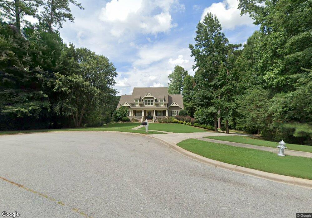
206 Dunquin Rock Tyrone, GA 30290
Tyrone AreaEstimated Value: $709,155 - $902,000
About This Home
This home is located at 206 Dunquin Rock, Tyrone, GA 30290 and is currently estimated at $802,539, approximately $230 per square foot. 206 Dunquin Rock is a home located in Fayette County with nearby schools including Crabapple Lane Elementary School, Flat Rock Middle School, and Sandy Creek High School.
Ownership History
We collect this data history from publicly available records. To have your information removed, we recommend requesting removal directly through your county’s website.
Purchase Details
Home Financials for this Owner
Home Financials are based on the most recent Mortgage that was taken out on this home.Home Values in the Area
Average Home Value in this Area
Purchase History
We collect this data history from publicly available records. To have your information removed, we recommend requesting removal directly through your county’s website.
| Date | Buyer | Sale Price | Title Company |
|---|---|---|---|
| $595,000 | -- |
Mortgage History
We collect this data history from publicly available records. To have your information removed, we recommend requesting removal directly through your county’s website.
| Date | Status | Borrower | Loan Amount |
|---|---|---|---|
| Closed | $100,000 |
Tax History
We collect this data history from publicly available records. To have your information removed, we recommend requesting removal directly through your county’s website.
| Year | Tax Paid | Tax Assessment Tax Assessment Total Assessment is a certain percentage of the fair market value that is determined by local assessors to be the total taxable value of land and additions on the property. | Land | Improvement |
|---|---|---|---|---|
| 2025 | $7,837 | $335,021 | $47,080 | $287,941 |
| 2024 | $7,630 | $313,104 | $44,000 | $269,104 |
| 2023 | $7,173 | $299,920 | $44,000 | $255,920 |
| 2022 | $7,065 | $261,160 | $44,000 | $217,160 |
| 2021 | $6,678 | $230,600 | $37,000 | $193,600 |
| 2020 | $6,696 | $216,920 | $37,000 | $179,920 |
| 2019 | $6,703 | $215,040 | $37,000 | $178,040 |
| 2018 | $6,351 | $201,800 | $37,000 | $164,800 |
| 2017 | $6,262 | $198,280 | $37,000 | $161,280 |
| 2016 | $5,798 | $180,160 | $33,000 | $147,160 |
| 2015 | $6,470 | $197,440 | $22,800 | $174,640 |
| 2014 | $5,700 | $171,320 | $22,800 | $148,520 |
| 2013 | -- | $168,760 | $0 | $0 |
Map
- 110 Beresford Rd
- 137 Kenmare Row
- 105 Crimson Ridge
- 104 Ashland Trail
- 113 Kenmare Row
- 599 Mcdade St
- 110 Regal Oak
- 160 Kylemore Pass
- 135 Crimson Ridge
- 115 Strandhill Rd
- 101 Line Creek Way
- 2080 Castle Lake Dr
- 120 Ridge Run
- 100 London Berry Ct
- 135 London Berry Ct
- 200 Chaparral Trace
- 320 Yellowwood Dr
- 115 Saint Andrews Walk
- 15 French Village Blvd
- 455 Senoia Rd
- 204 Dunquin Rock
- 205 Dunquin Rock
- 203 Dunquin Rock
- 313 Roundstone Rock Unit 82
- 202 Dunquin Rock
- 201 Dunquin Rock
- 201 Dunquin Rock Unit 15
- 314 Roundstone Rock
- 112 Beresford Rd
- 311 Roundstone Rock Unit 83
- 311 Roundstone Rock
- 200 Dunquin Rock
- 114 Beresford Rd
- 114 Beresford Rd Unit 33
- 309 Roundstone Rock Unit 84
- 309 Roundstone Rock
- 312 Roundstone Rock Unit ROCK
- 312 Roundstone Rock Unit 80
- 116 Beresford Rd
- 111 Beresford Rd
Ask me questions while you tour the home.