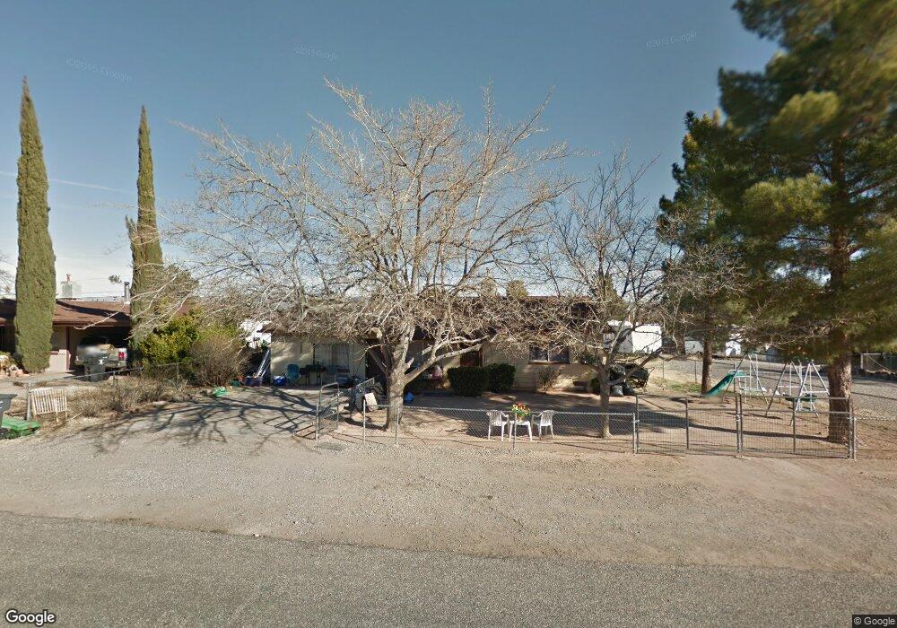
206 E Aspen St Cottonwood, AZ 86326
Cottonwood NeighborhoodEstimated Value: $292,634 - $436,000
--
Bed
--
Bath
1,392
Sq Ft
$258/Sq Ft
Est. Value
About This Home
This home is located at 206 E Aspen St, Cottonwood, AZ 86326 and is currently estimated at $358,659, approximately $257 per square foot. 206 E Aspen St is a home located in Yavapai County with nearby schools including Cottonwood Elementary School, Dr Daniel Bright Elementary School, and Cottonwood Community School.
Ownership History
Date
Name
Owned For
Owner Type
Purchase Details
Closed on
Mar 27, 2023
Sold by
Allred Sylvia
Bought by
Kalkitty Llc
Current Estimated Value
Purchase Details
Closed on
Feb 24, 2022
Sold by
Verde Trust
Bought by
Allred Sylvia
Purchase Details
Closed on
Nov 29, 2021
Sold by
Verde Trust
Bought by
Allred Sylvia
Purchase Details
Closed on
Sep 9, 2019
Sold by
Aiireo Harold L and Allreo Syluia
Bought by
Uerde Trust
Create a Home Valuation Report for This Property
The Home Valuation Report is an in-depth analysis detailing your home's value as well as a comparison with similar homes in the area
Home Values in the Area
Average Home Value in this Area
Purchase History
| Date | Buyer | Sale Price | Title Company |
|---|---|---|---|
| Kalkitty Llc | -- | None Listed On Document | |
| Allred Sylvia | -- | None Listed On Document | |
| Allred Sylvia | -- | None Listed On Document | |
| Uerde Trust | -- | None Available |
Source: Public Records
Tax History Compared to Growth
Tax History
| Year | Tax Paid | Tax Assessment Tax Assessment Total Assessment is a certain percentage of the fair market value that is determined by local assessors to be the total taxable value of land and additions on the property. | Land | Improvement |
|---|---|---|---|---|
| 2026 | $903 | $24,014 | -- | -- |
| 2024 | $887 | $23,595 | -- | -- |
| 2023 | $887 | $17,970 | $4,717 | $13,253 |
| 2022 | $882 | $15,315 | $3,603 | $11,712 |
| 2021 | $932 | $13,040 | $2,404 | $10,636 |
| 2020 | $924 | $0 | $0 | $0 |
| 2019 | $917 | $0 | $0 | $0 |
| 2018 | $886 | $0 | $0 | $0 |
| 2017 | $851 | $0 | $0 | $0 |
| 2016 | $834 | $0 | $0 | $0 |
| 2015 | -- | $0 | $0 | $0 |
| 2014 | -- | $0 | $0 | $0 |
Source: Public Records
Map
Nearby Homes
- 315 S Willard St
- 290 S 6th Place
- 677 E Mingus Ave
- 707 E Mingus Ave
- 199 S Candy Ln
- 985 E Mingus Ave Unit 624
- 325 W State Route 89a Unit 7
- 325 W State Route 89a -- Unit 16
- 325 W State Route 89a -- Unit 65
- 325 W State Route 89a -- Unit 73
- 325 W State Route 89a -- Unit 15
- 0 E Aspen St
- 1013 E Mingus Ave
- 258 Justin Dr
- 565 N Willard Dr
- 1040 E Mingus Unit C Ave Unit C
- 5 W Cottonwood St Unit 23
- 601 Clover Way Unit 7
- 615 Silver Springs Cir
- 1101 E Mingus Ave Unit Abc