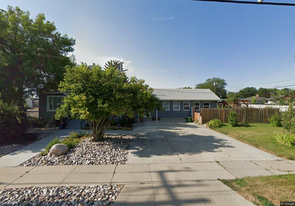
206 E Walnut St Pocatello, ID 83201
Downtown Pocatello NeighborhoodEstimated Value: $290,000 - $347,206
3
Beds
2
Baths
1,430
Sq Ft
$220/Sq Ft
Est. Value
About This Home
This home is located at 206 E Walnut St, Pocatello, ID 83201 and is currently estimated at $314,402, approximately $219 per square foot. 206 E Walnut St is a home located in Bannock County with nearby schools including Lewis & Clark Elementary School, Kinport Academy, and Century High School.
Ownership History
Date
Name
Owned For
Owner Type
Purchase Details
Closed on
Apr 26, 2013
Sold by
Parkin Matthew E and Parkin Jerrica
Bought by
Skeldon John W and Roberts Kathleen A
Current Estimated Value
Home Financials for this Owner
Home Financials are based on the most recent Mortgage that was taken out on this home.
Original Mortgage
$880,000
Outstanding Balance
$620,148
Interest Rate
3.51%
Mortgage Type
New Conventional
Estimated Equity
-$305,746
Create a Home Valuation Report for This Property
The Home Valuation Report is an in-depth analysis detailing your home's value as well as a comparison with similar homes in the area
Home Values in the Area
Average Home Value in this Area
Purchase History
| Date | Buyer | Sale Price | Title Company |
|---|---|---|---|
| Skeldon John W | -- | First American Title Co |
Source: Public Records
Mortgage History
| Date | Status | Borrower | Loan Amount |
|---|---|---|---|
| Open | Skeldon John W | $880,000 |
Source: Public Records
Tax History
| Year | Tax Paid | Tax Assessment Tax Assessment Total Assessment is a certain percentage of the fair market value that is determined by local assessors to be the total taxable value of land and additions on the property. | Land | Improvement |
|---|---|---|---|---|
| 2025 | $1,967 | $339,835 | $55,000 | $284,835 |
| 2024 | $2,379 | $291,928 | $55,000 | $236,928 |
| 2023 | $2,759 | $330,875 | $55,000 | $275,875 |
| 2022 | $2,759 | $232,264 | $50,872 | $181,392 |
| 2021 | $1,976 | $232,264 | $50,872 | $181,392 |
| 2020 | $1,285 | $160,570 | $42,393 | $118,177 |
| 2019 | $1,990 | $202,070 | $42,393 | $159,677 |
| 2018 | $1,833 | $163,785 | $30,720 | $133,065 |
| 2017 | $1,107 | $98,241 | $30,720 | $67,521 |
| 2016 | $1,098 | $98,241 | $30,720 | $67,521 |
| 2015 | $1,109 | $0 | $0 | $0 |
| 2012 | -- | $106,358 | $37,202 | $69,156 |
Source: Public Records
Map
Nearby Homes
- 315 E Pine St
- 507 Willard Ave
- 335 Willard Ave
- 270 Taft Ave
- 402 Mckinley Ave
- 725 E Pine St
- 553 Mckinley Ave
- 172 Taft Ave
- 743 Washington Ave
- 166 Washington Ave
- 855 E Walnut St
- 682 Randolph Ave
- 129 Wayne Ave
- 238 Randolph Ave
- 168 Park Ave
- 798 Wayne Ave
- 1028 N 9th Ave
- 674 W Pine St
- 575 Marlu St
- 575 Euclid Ave
- 422 Pershing Ave
- 252 E Walnut St
- 396 Pershing Ave
- 411 Pershing Ave
- 427 Pershing
- 405 Pershing Ave
- 417 Pershing Ave
- 430 Pershing Ave
- 394 Pershing Ave
- 427 Pershing Ave
- 407 Warren Ave
- 386 Pershing Ave
- 435 Pershing Ave
- 421 Warren Ave
- 397 Warren Ave
- 0 Warren Ave
- 385 Warren Ave
- 389 Warren Ave
- 448 Pershing Ave
- 433 Warren Ave
Your Personal Tour Guide
Ask me questions while you tour the home.