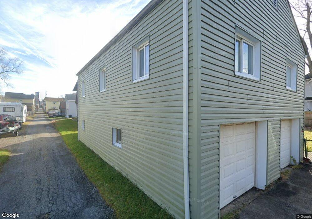
206 First St Freeport Boro, PA 16229
Estimated Value: $80,000 - $134,000
3
Beds
1
Bath
876
Sq Ft
$125/Sq Ft
Est. Value
About This Home
This home is located at 206 First St, Freeport Boro, PA 16229 and is currently estimated at $109,664, approximately $125 per square foot. 206 First St is a home located in Armstrong County with nearby schools including South Buffalo El School, Freeport Area Senior High School, and Harvest Baptist Academy.
Ownership History
Date
Name
Owned For
Owner Type
Purchase Details
Closed on
May 23, 2019
Sold by
Futscher James C and Futscher Christina L
Bought by
Drum Amber A
Current Estimated Value
Home Financials for this Owner
Home Financials are based on the most recent Mortgage that was taken out on this home.
Original Mortgage
$85,014
Outstanding Balance
$74,593
Interest Rate
4.1%
Mortgage Type
New Conventional
Estimated Equity
$35,071
Purchase Details
Closed on
Jul 28, 2011
Sold by
Riggatire Mark and Riggatire Mireya E
Bought by
Thompson Joseph S and Thompson Lucinda M
Purchase Details
Closed on
Mar 9, 2000
Bought by
Homeside Lending Inc
Purchase Details
Closed on
Nov 24, 1999
Bought by
Homeside Lending Inc
Purchase Details
Closed on
Aug 27, 1999
Bought by
Homeside Lending Inc
Purchase Details
Closed on
Jul 27, 1990
Create a Home Valuation Report for This Property
The Home Valuation Report is an in-depth analysis detailing your home's value as well as a comparison with similar homes in the area
Home Values in the Area
Average Home Value in this Area
Purchase History
| Date | Buyer | Sale Price | Title Company |
|---|---|---|---|
| Drum Amber A | $84,164 | None Available | |
| Thompson Joseph S | $33,000 | None Available | |
| Homeside Lending Inc | $25,000 | -- | |
| Homeside Lending Inc | -- | -- | |
| Homeside Lending Inc | -- | -- | |
| -- | $42,500 | -- |
Source: Public Records
Mortgage History
| Date | Status | Borrower | Loan Amount |
|---|---|---|---|
| Open | Drum Amber A | $85,014 |
Source: Public Records
Tax History Compared to Growth
Tax History
| Year | Tax Paid | Tax Assessment Tax Assessment Total Assessment is a certain percentage of the fair market value that is determined by local assessors to be the total taxable value of land and additions on the property. | Land | Improvement |
|---|---|---|---|---|
| 2025 | $2,617 | $25,950 | $15,790 | $10,160 |
| 2024 | $2,621 | $25,950 | $15,790 | $10,160 |
| 2023 | $2,254 | $25,950 | $15,790 | $10,160 |
| 2022 | $2,209 | $25,950 | $15,790 | $10,160 |
| 2021 | $2,173 | $25,950 | $15,790 | $10,160 |
| 2020 | $2,173 | $25,950 | $15,790 | $10,160 |
| 2019 | $2,130 | $25,950 | $15,790 | $10,160 |
| 2018 | $2,130 | $22,560 | $8,050 | $14,510 |
| 2017 | $2,103 | $25,950 | $15,790 | $10,160 |
| 2016 | $2,048 | $25,950 | $15,790 | $10,160 |
| 2015 | $1,620 | $25,950 | $15,790 | $10,160 |
| 2014 | $1,620 | $25,950 | $15,790 | $10,160 |
Source: Public Records
Map
Nearby Homes
- 255 2nd St
- 118 Washington St
- 117 Route 908
- 128 Buffalo Trail Dr
- 103 Cherokee Ct
- 102 Pioneer Ct
- 221 Summit Dr
- 117 Altermoor Dr
- 111 Helin Dr
- 160 Helin Dr
- 276 Teaberry Ln
- 182 Beale Rd Unit A
- 100 Willow Dr
- 129 Ridgecrest Dr
- 1765 State Route 356
- 205 Ekastown Rd
- 1071 Sandy Ridge Dr
- 147 Woodbury Dr
- Lot #2 Woodhaven Dr
- Lot #1 Woodhaven Dr