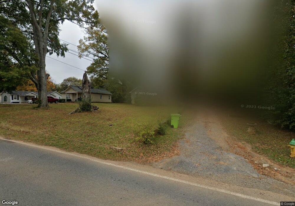
206 Foster Rd Dalton, GA 30720
Estimated Value: $156,546 - $218,000
3
Beds
2
Baths
1,328
Sq Ft
$131/Sq Ft
Est. Value
About This Home
This home is located at 206 Foster Rd, Dalton, GA 30720 and is currently estimated at $173,637, approximately $130 per square foot. 206 Foster Rd is a home located in Whitfield County with nearby schools including Dug Gap Elementary School, Valley Point Middle School, and Southeast Whitfield County High School.
Ownership History
Date
Name
Owned For
Owner Type
Purchase Details
Closed on
Jun 26, 2015
Sold by
Wagnon Alton
Bought by
Martinez Josefina
Current Estimated Value
Home Financials for this Owner
Home Financials are based on the most recent Mortgage that was taken out on this home.
Original Mortgage
$65,000
Interest Rate
3.93%
Mortgage Type
New Conventional
Purchase Details
Closed on
Jan 5, 2009
Sold by
Federal National Mortgage Association
Bought by
Wagnon Alton
Purchase Details
Closed on
Oct 7, 2008
Sold by
Not Provided
Bought by
Wagnon Alton
Purchase Details
Closed on
Jun 21, 2007
Sold by
Not Provided
Bought by
Wagnon Alton
Create a Home Valuation Report for This Property
The Home Valuation Report is an in-depth analysis detailing your home's value as well as a comparison with similar homes in the area
Home Values in the Area
Average Home Value in this Area
Purchase History
| Date | Buyer | Sale Price | Title Company |
|---|---|---|---|
| Martinez Josefina | $70,000 | -- | |
| Wagnon Alton | $40,000 | -- | |
| Wagnon Alton | $144,681 | -- | |
| Wagnon Alton | $144,681 | -- | |
| Wagnon Alton | $133,900 | -- |
Source: Public Records
Mortgage History
| Date | Status | Borrower | Loan Amount |
|---|---|---|---|
| Closed | Martinez Josefina | $65,000 |
Source: Public Records
Tax History Compared to Growth
Tax History
| Year | Tax Paid | Tax Assessment Tax Assessment Total Assessment is a certain percentage of the fair market value that is determined by local assessors to be the total taxable value of land and additions on the property. | Land | Improvement |
|---|---|---|---|---|
| 2024 | $1,074 | $58,551 | $8,000 | $50,551 |
| 2023 | $1,074 | $42,804 | $10,000 | $32,804 |
| 2022 | $526 | $26,400 | $6,048 | $20,352 |
| 2021 | $526 | $26,400 | $6,048 | $20,352 |
| 2020 | $1,133 | $46,073 | $7,800 | $38,273 |
| 2019 | $989 | $41,018 | $7,800 | $33,218 |
| 2018 | $472 | $24,264 | $6,630 | $17,634 |
| 2017 | $472 | $24,264 | $6,630 | $17,634 |
| 2016 | $297 | $17,828 | $4,998 | $12,830 |
| 2014 | $501 | $18,626 | $4,998 | $13,628 |
| 2013 | -- | $18,626 | $4,998 | $13,628 |
Source: Public Records
Map
Nearby Homes
- 439 Florence Ave
- 1815 City View St
- 408 Alex Dr
- 1903 David Dr
- 3016 E Brookhaven Cir
- 1632 Rio Vista Dr
- 1504 Belmont Dr
- 0 Vinewood Dr
- 1922 W Brookhaven Cir
- 1915 W Brookhaven Cir
- 1922 W Brookhaven Cir
- 1230 Valencia Dr
- 120 Foothill Dr
- 1307 Valencia Way
- 0 Horizon Ct Unit 130497
- 0 Horizon Ct Unit 130499
- 0 Horizon Ct Unit 130479
- 0 Horizon Ct Unit 130477
- 0 Horizon Ct Unit 130478
- 0 Horizon Ct Unit 130496
- 273 Foster Rd
- 202 Foster Rd
- 212 Foster Rd
- 210 Foster Rd
- 214 Foster Rd
- 209 Foster Rd
- 216 Foster Rd
- 211 Florence Ave
- 215 Florence Ave
- 218 Foster Rd
- 213 Florence Ave
- 0 Foster Rd Unit 1363523
- 0 Foster Rd Unit RTC2739913
- 0 Foster Rd Unit RTC2445928
- 0 Foster Rd
- 0 Foster Dr Unit 1371153
- 0 Foster Dr Unit 1380320
- 301 Florence Ave
- 220 Foster Rd
- 303 Florence Ave