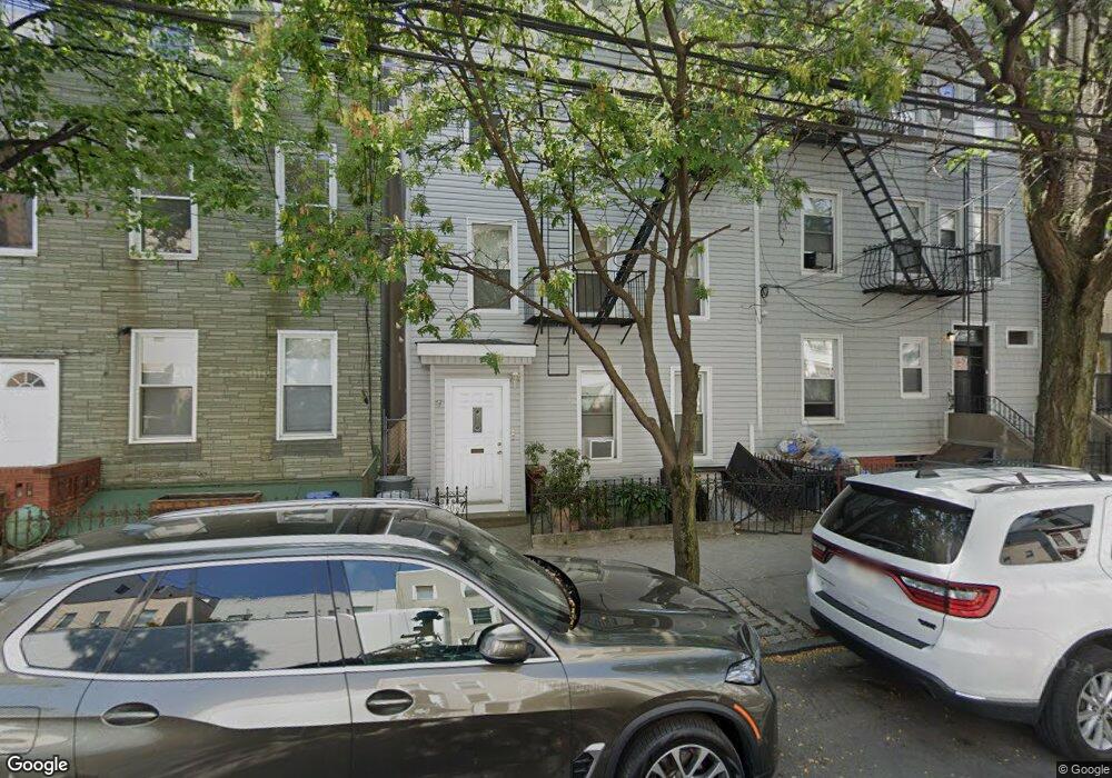
206 Freeman St Brooklyn, NY 11222
Greenpoint NeighborhoodEstimated Value: $2,084,000 - $2,641,000
--
Bed
--
Bath
1,562
Sq Ft
$1,456/Sq Ft
Est. Value
About This Home
This home is located at 206 Freeman St, Brooklyn, NY 11222 and is currently estimated at $2,275,000, approximately $1,456 per square foot. 206 Freeman St is a home located in Kings County with nearby schools including PS 31 Samuel F Dupont, Yeshiva Bnos Ahavas Israel, and St. Stanislaus Kostka Catholic Academy.
Ownership History
Date
Name
Owned For
Owner Type
Purchase Details
Closed on
Jun 28, 1996
Sold by
Labrada Edward
Bought by
Dejesus William and Dejesus Barbara D
Current Estimated Value
Home Financials for this Owner
Home Financials are based on the most recent Mortgage that was taken out on this home.
Original Mortgage
$130,000
Interest Rate
8.08%
Create a Home Valuation Report for This Property
The Home Valuation Report is an in-depth analysis detailing your home's value as well as a comparison with similar homes in the area
Home Values in the Area
Average Home Value in this Area
Purchase History
| Date | Buyer | Sale Price | Title Company |
|---|---|---|---|
| Dejesus William | $185,000 | Fidelity National Title Ins |
Source: Public Records
Mortgage History
| Date | Status | Borrower | Loan Amount |
|---|---|---|---|
| Previous Owner | Dejesus William | $130,000 |
Source: Public Records
Tax History Compared to Growth
Tax History
| Year | Tax Paid | Tax Assessment Tax Assessment Total Assessment is a certain percentage of the fair market value that is determined by local assessors to be the total taxable value of land and additions on the property. | Land | Improvement |
|---|---|---|---|---|
| 2025 | $6,001 | $118,140 | $11,580 | $106,560 |
| 2024 | $6,001 | $118,140 | $11,580 | $106,560 |
| 2023 | $5,687 | $122,160 | $11,580 | $110,580 |
| 2022 | $5,067 | $99,960 | $11,580 | $88,380 |
| 2021 | $5,487 | $82,800 | $11,580 | $71,220 |
| 2020 | $5,487 | $100,380 | $11,580 | $88,800 |
| 2019 | $5,159 | $90,420 | $11,580 | $78,840 |
| 2018 | $4,751 | $24,764 | $4,591 | $20,173 |
| 2017 | $4,502 | $23,554 | $6,888 | $16,666 |
| 2016 | $4,293 | $23,023 | $9,087 | $13,936 |
| 2015 | $2,460 | $21,720 | $9,660 | $12,060 |
| 2014 | $2,460 | $21,720 | $9,660 | $12,060 |
Source: Public Records
Map
Nearby Homes
- 340 McGuinness Blvd
- 205 Freeman St Unit 2
- 190 Green St Unit 401
- 175 Huron St Unit 1
- 175 Huron St Unit 3A
- 175 Huron St Unit 2
- 169 Huron St
- 184 Huron St Unit 2B
- 160 India St Unit 1
- 205 Java St Unit 6
- 199 Java St
- 153 Green St Unit 1-B
- 132 Eagle St
- 1110 Manhattan Ave Unit 1
- 1110 Manhattan Ave Unit 3
- 130 Huron St Unit 1
- 79 Clay St Unit 1-A
- 150 Java St Unit 2B
- 44 Box St Unit 2C
- 120 Java St Unit 1-B
- 208 Freeman St
- 204 Freeman St Unit 1
- 204 Freeman St Unit 2R
- 204 Freeman St
- 204 Freeman St Unit 3R
- 204 Freeman St Unit 3F
- 200 Freeman St Unit 19
- 200 Freeman St
- 200 Freeman St Unit 16
- 200 Freeman St Unit 4
- 200 Freeman St Unit 2
- 210 Freeman St
- 212 Freeman St
- 212 Freeman St Unit 3
- 212 Freeman St Unit 3R
- 212 Freeman St Unit 1
- 212 Freeman St Unit GROUND
- 212 Freeman St Unit GRD
- 198 Freeman St
- 198 Freeman St Unit 4