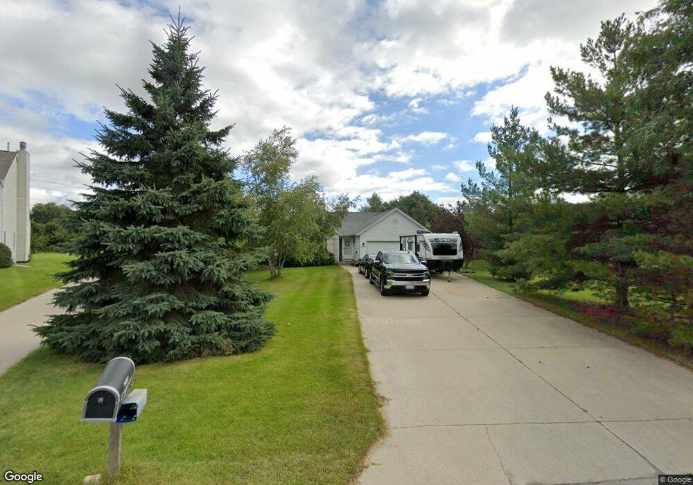
206 Granary Cir Hartland, WI 53029
Estimated Value: $403,000 - $446,000
3
Beds
2
Baths
1,250
Sq Ft
$336/Sq Ft
Est. Value
About This Home
This home is located at 206 Granary Cir, Hartland, WI 53029 and is currently estimated at $419,621, approximately $335 per square foot. 206 Granary Cir is a home located in Waukesha County with nearby schools including Arrowhead High School, St Charles Parish School, and Zion Lutheran School.
Ownership History
Date
Name
Owned For
Owner Type
Purchase Details
Closed on
Jan 16, 1997
Sold by
Dynacon Development Corp
Bought by
Shaw Patrick J and Shaw Deborah L
Current Estimated Value
Home Financials for this Owner
Home Financials are based on the most recent Mortgage that was taken out on this home.
Original Mortgage
$95,000
Outstanding Balance
$9,855
Interest Rate
7.25%
Mortgage Type
Purchase Money Mortgage
Estimated Equity
$409,766
Create a Home Valuation Report for This Property
The Home Valuation Report is an in-depth analysis detailing your home's value as well as a comparison with similar homes in the area
Home Values in the Area
Average Home Value in this Area
Purchase History
| Date | Buyer | Sale Price | Title Company |
|---|---|---|---|
| Shaw Patrick J | $103,000 | -- |
Source: Public Records
Mortgage History
| Date | Status | Borrower | Loan Amount |
|---|---|---|---|
| Open | Shaw Patrick J | $95,000 |
Source: Public Records
Tax History Compared to Growth
Tax History
| Year | Tax Paid | Tax Assessment Tax Assessment Total Assessment is a certain percentage of the fair market value that is determined by local assessors to be the total taxable value of land and additions on the property. | Land | Improvement |
|---|---|---|---|---|
| 2024 | $3,542 | $345,100 | $92,400 | $252,700 |
| 2023 | $3,322 | $345,100 | $92,400 | $252,700 |
| 2022 | $3,059 | $252,300 | $77,000 | $175,300 |
| 2021 | $3,117 | $252,300 | $77,000 | $175,300 |
| 2020 | $3,126 | $252,300 | $77,000 | $175,300 |
| 2019 | $3,157 | $252,300 | $77,000 | $175,300 |
| 2018 | $3,477 | $241,400 | $93,100 | $148,300 |
| 2017 | $3,640 | $241,400 | $93,100 | $148,300 |
| 2016 | $3,780 | $241,400 | $93,100 | $148,300 |
| 2015 | $3,953 | $241,400 | $93,100 | $148,300 |
| 2014 | $3,661 | $241,400 | $93,100 | $148,300 |
| 2013 | $3,661 | $227,200 | $77,700 | $149,500 |
Source: Public Records
Map
Nearby Homes
- 222 Granary Cir
- 459 Sunset Trail Unit 2
- 345 Cottonwood Ave
- 732 River Reserve Dr
- 617 Coventry Ln
- 286 Hazel Ln
- 733 Cardiff Ct
- Pcl2 Hill St
- 809 Crescent Ln
- 310 Paradise Ct
- 1019 Wellington Way
- 4821 Easy St Unit 8
- 447 Merton Ave
- 508 Merton Ave
- 3911 Campbell Trace
- W305N5260 Gail Ln
- W289N4159 Farm Valley Ct
- 120 Kestrel Way
- N53W30509 Arrowhead Dr
- 901 Anton Rd
- 208 Granary Cir
- 204 Granary Cir
- 210 Granary Cir
- 202 Granary Cir
- 203 Granary Cir
- 200 Granary Cir
- 204 Harvest Way
- 212 Granary Cir
- 202 Harvest Way
- 201 Granary Cir
- 198 Granary Cir
- 214 Granary Cir
- 200 Harvest Way
- 216 Granary Cir
- 196 Granary Cir
- 199 Granary Cir
- 198 Harvest Way
- 205 Harvest Way
- 203 Harvest Way
- 218 Granary Cir