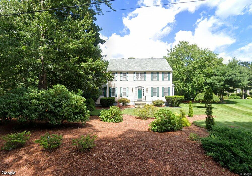
206 Hemenway St Marlborough, MA 01752
Estimated Value: $884,296 - $1,073,000
5
Beds
4
Baths
3,008
Sq Ft
$316/Sq Ft
Est. Value
About This Home
This home is located at 206 Hemenway St, Marlborough, MA 01752 and is currently estimated at $949,074, approximately $315 per square foot. 206 Hemenway St is a home located in Middlesex County with nearby schools including Marlborough High School, New Covenant Christian School, and Glenhaven Academy - JRI School.
Ownership History
Date
Name
Owned For
Owner Type
Purchase Details
Closed on
Apr 27, 1998
Sold by
Chaltas George and Chaltas Deborah A
Bought by
Huber Theodor J
Current Estimated Value
Home Financials for this Owner
Home Financials are based on the most recent Mortgage that was taken out on this home.
Original Mortgage
$225,000
Interest Rate
7.11%
Mortgage Type
Purchase Money Mortgage
Create a Home Valuation Report for This Property
The Home Valuation Report is an in-depth analysis detailing your home's value as well as a comparison with similar homes in the area
Home Values in the Area
Average Home Value in this Area
Purchase History
| Date | Buyer | Sale Price | Title Company |
|---|---|---|---|
| Huber Theodor J | $295,000 | -- |
Source: Public Records
Mortgage History
| Date | Status | Borrower | Loan Amount |
|---|---|---|---|
| Open | Huber Theodor J | $183,400 | |
| Closed | Huber Theodor J | $225,000 |
Source: Public Records
Tax History Compared to Growth
Tax History
| Year | Tax Paid | Tax Assessment Tax Assessment Total Assessment is a certain percentage of the fair market value that is determined by local assessors to be the total taxable value of land and additions on the property. | Land | Improvement |
|---|---|---|---|---|
| 2025 | $7,832 | $794,300 | $228,900 | $565,400 |
| 2024 | $7,692 | $751,200 | $208,200 | $543,000 |
| 2023 | $7,938 | $687,900 | $179,400 | $508,500 |
| 2022 | $7,666 | $584,300 | $170,900 | $413,400 |
| 2021 | $7,711 | $558,800 | $142,500 | $416,300 |
| 2020 | $7,581 | $534,600 | $135,700 | $398,900 |
| 2019 | $7,350 | $522,400 | $133,000 | $389,400 |
| 2018 | $7,275 | $497,300 | $115,400 | $381,900 |
| 2017 | $7,272 | $474,700 | $113,200 | $361,500 |
| 2016 | $7,127 | $464,600 | $113,200 | $351,400 |
| 2015 | $7,015 | $445,100 | $115,400 | $329,700 |
Source: Public Records
Map
Nearby Homes
- 114 Linda Cir
- 109 Westminster Dr Unit 109
- 624 Boston Post Rd E Unit 7
- 38 Collins Dr
- 608 Boston Post Rd E Unit 11
- 596 Boston Post Rd E Unit 13
- 596 Boston Post Rd E
- 688 Boston Post Rd E Unit 202
- 688 Boston Post Rd E Unit 304
- 688 Boston Post Rd E Unit 100
- 688 Boston Post Rd E Unit 324
- 688 Boston Post Rd E Unit 228
- 271 Boston Post Rd E Unit 4
- 23 Victoria Ln
- 323 Robert Rd
- 256 Robert Rd
- 261 Boston Post Rd E Unit 1
- 17 Mcneil Cir
- 274 Naugler Ave
- 10 Eldorado Dr