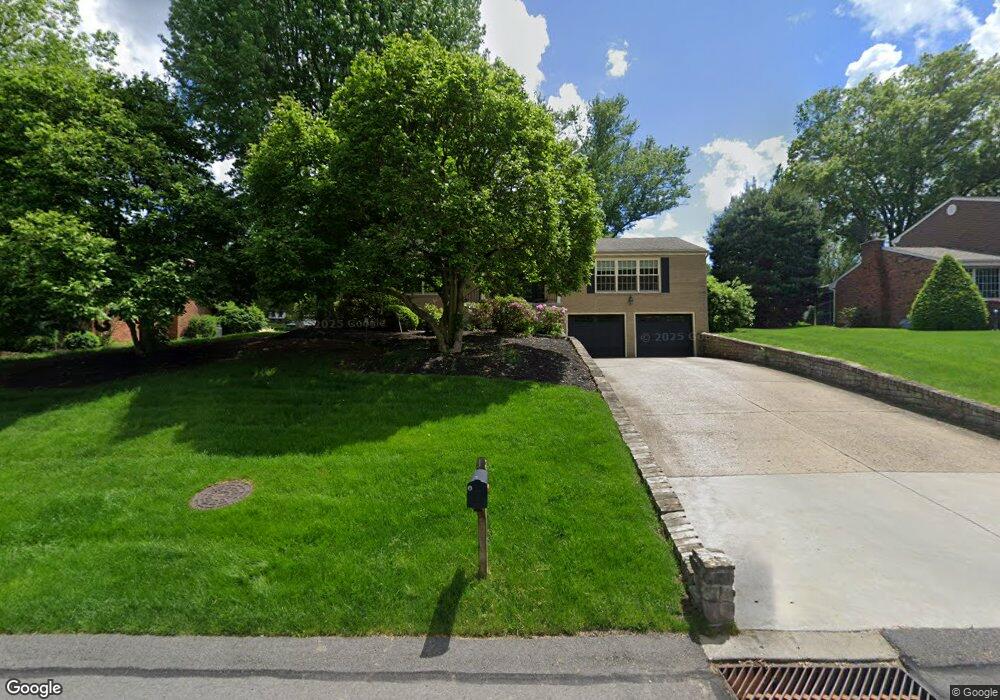
206 Hemlock Dr Canonsburg, PA 15317
Estimated Value: $546,000 - $631,000
4
Beds
4
Baths
2,798
Sq Ft
$205/Sq Ft
Est. Value
About This Home
This home is located at 206 Hemlock Dr, Canonsburg, PA 15317 and is currently estimated at $572,466, approximately $204 per square foot. 206 Hemlock Dr is a home located in Washington County with nearby schools including Pleasant Valley Elementary School, McMurray Elementary School, and Peters Township Middle School.
Ownership History
Date
Name
Owned For
Owner Type
Purchase Details
Closed on
Apr 15, 2010
Sold by
Peterson Jon C
Bought by
Abbato Adam A
Current Estimated Value
Home Financials for this Owner
Home Financials are based on the most recent Mortgage that was taken out on this home.
Original Mortgage
$264,000
Outstanding Balance
$175,746
Interest Rate
4.99%
Mortgage Type
New Conventional
Estimated Equity
$396,720
Create a Home Valuation Report for This Property
The Home Valuation Report is an in-depth analysis detailing your home's value as well as a comparison with similar homes in the area
Home Values in the Area
Average Home Value in this Area
Purchase History
| Date | Buyer | Sale Price | Title Company |
|---|---|---|---|
| Abbato Adam A | $330,000 | -- |
Source: Public Records
Mortgage History
| Date | Status | Borrower | Loan Amount |
|---|---|---|---|
| Open | Abbato Adam A | $264,000 |
Source: Public Records
Tax History Compared to Growth
Tax History
| Year | Tax Paid | Tax Assessment Tax Assessment Total Assessment is a certain percentage of the fair market value that is determined by local assessors to be the total taxable value of land and additions on the property. | Land | Improvement |
|---|---|---|---|---|
| 2025 | $6,234 | $315,000 | $89,500 | $225,500 |
| 2024 | $6,048 | $315,000 | $89,500 | $225,500 |
| 2023 | $6,048 | $315,000 | $89,500 | $225,500 |
| 2022 | $5,894 | $315,000 | $89,500 | $225,500 |
| 2021 | $5,737 | $315,000 | $89,500 | $225,500 |
| 2020 | $5,627 | $315,000 | $89,500 | $225,500 |
| 2019 | $5,490 | $315,000 | $89,500 | $225,500 |
| 2018 | $5,393 | $312,800 | $89,500 | $223,300 |
| 2017 | $814 | $312,800 | $89,500 | $223,300 |
| 2016 | $814 | $32,710 | $4,716 | $27,994 |
| 2015 | -- | $32,710 | $4,716 | $27,994 |
| 2014 | $805 | $32,710 | $4,716 | $27,994 |
| 2013 | $805 | $32,710 | $4,716 | $27,994 |
Source: Public Records
Map
Nearby Homes
- 106 Stratford Dr
- 153 Oakwood Rd
- 105 Oakwood Rd
- 110 Oakhurst Dr
- 1047 Waterford Ct E
- 1009 Waterford Ct W
- 202 Roscommon Place
- 150 Roscommon Place
- The Franklin Plan at Southpointe
- The Betsy Ross Plan at Southpointe
- The Washington Plan at Southpointe
- The Grant Plan at Southpointe
- The Hancock Plan at Southpointe
- 140 Maple Ln
- 235 Liberty Blvd
- 300 Lakeside Dr N
- 454 Independence Way
- 139 Heather Dr
- 151 Liberty Blvd
- 118 Center Church Rd Unit Center Church Rd
- 208 Hemlock Dr
- 204 Hemlock Dr
- 110 Cheshire Ln
- 210 Hemlock Dr
- 112 Cheshire Ln
- 125 Sheffield Ln
- 108 Cheshire Ln
- 207 Hemlock Dr
- 205 Hemlock Dr
- 212 Hemlock Dr
- 127 Sheffield Ln
- 209 Hemlock Dr
- 123 Sheffield Ln
- 203 Hemlock Dr
- 106 Cheshire Ln
- 201 Hemlock Dr
- 150 Hemlock Dr
- 214 Hemlock Dr
- 211 Hemlock Dr
- 129 Sheffield Ln