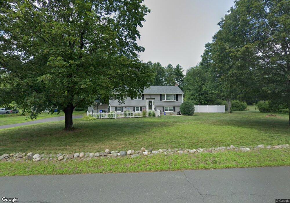
206 Holcomb St Simsbury, CT 06070
Estimated Value: $435,000 - $484,595
4
Beds
3
Baths
1,410
Sq Ft
$323/Sq Ft
Est. Value
About This Home
This home is located at 206 Holcomb St, Simsbury, CT 06070 and is currently estimated at $455,149, approximately $322 per square foot. 206 Holcomb St is a home located in Hartford County with nearby schools including Squadron Line School, Henry James Memorial School, and Simsbury High School.
Ownership History
Date
Name
Owned For
Owner Type
Purchase Details
Closed on
Jul 5, 2006
Sold by
Zalucki Robert J
Bought by
Rinaldi Michael A and Mobilia Sandra
Current Estimated Value
Home Financials for this Owner
Home Financials are based on the most recent Mortgage that was taken out on this home.
Original Mortgage
$250,000
Interest Rate
6.6%
Create a Home Valuation Report for This Property
The Home Valuation Report is an in-depth analysis detailing your home's value as well as a comparison with similar homes in the area
Home Values in the Area
Average Home Value in this Area
Purchase History
| Date | Buyer | Sale Price | Title Company |
|---|---|---|---|
| Rinaldi Michael A | $305,000 | -- |
Source: Public Records
Mortgage History
| Date | Status | Borrower | Loan Amount |
|---|---|---|---|
| Open | Rinaldi Michael A | $252,000 | |
| Closed | Rinaldi Michael A | $250,000 |
Source: Public Records
Tax History
| Year | Tax Paid | Tax Assessment Tax Assessment Total Assessment is a certain percentage of the fair market value that is determined by local assessors to be the total taxable value of land and additions on the property. | Land | Improvement |
|---|---|---|---|---|
| 2025 | $7,637 | $223,580 | $82,250 | $141,330 |
| 2024 | $7,447 | $223,580 | $82,250 | $141,330 |
| 2023 | $7,114 | $223,580 | $82,250 | $141,330 |
| 2022 | $6,929 | $179,360 | $89,230 | $90,130 |
| 2021 | $6,929 | $179,360 | $89,230 | $90,130 |
| 2020 | $6,652 | $179,360 | $89,230 | $90,130 |
| 2019 | $6,694 | $179,360 | $89,230 | $90,130 |
| 2018 | $6,742 | $179,360 | $89,230 | $90,130 |
| 2017 | $6,179 | $159,410 | $85,290 | $74,120 |
| 2016 | $5,917 | $159,410 | $85,290 | $74,120 |
| 2015 | $5,917 | $159,410 | $85,290 | $74,120 |
| 2014 | $5,920 | $159,410 | $85,290 | $74,120 |
Source: Public Records
Map
Nearby Homes
- 48 Whitman Dr
- 21 North Dr
- 14 Brettonwood Dr
- 32 Hemlock Rd
- 59 Cambridge Ct
- 324 Old Farms Rd
- 42 Holcomb St
- 7 Grimes Brook Place
- 59 Hunt Glen Dr Unit 59
- 2 Lionel Dr
- 31 Oxford Ct
- 9 1/2 E Tomstead Rd
- 14 Main Street Extension
- 10 Massaco St Unit G
- 22 Old Hartford Ave Unit 22
- 41 E Granby Rd
- 40 Firetown Rd Unit 22
- 42 Library Ln Unit 42
- 74 Tariffville Rd
- 9 Sullivan Dr
- 204 Holcomb St
- 208 Holcomb St
- 207 Holcomb St
- 205 Holcomb St
- 202 Holcomb St
- 203 Holcomb St
- 209 Holcomb St
- 210 Holcomb St
- 200 Holcomb St
- 211 Holcomb St
- 201 Holcomb St
- 57 Munnisunk Dr
- 55 Munnisunk Dr
- 59 Munnisunk Dr
- 61 Munnisunk Dr
- 63 Munnisunk Dr
- 53 Munnisunk Dr
- 175 Canton Rd
- 215 Holcomb St
- 134 County Rd
Your Personal Tour Guide
Ask me questions while you tour the home.