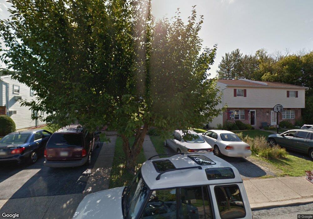
206 Lockridge Ln Alburtis, PA 18011
Lower Macungie Township West NeighborhoodEstimated Value: $246,000 - $257,000
3
Beds
2
Baths
1,380
Sq Ft
$184/Sq Ft
Est. Value
About This Home
This home is located at 206 Lockridge Ln, Alburtis, PA 18011 and is currently estimated at $253,857, approximately $183 per square foot. 206 Lockridge Ln is a home located in Lehigh County with nearby schools including Alburtis Elementary School, Lower Macungie Middle School, and Emmaus High School.
Ownership History
Date
Name
Owned For
Owner Type
Purchase Details
Closed on
Nov 4, 1991
Sold by
Levy Raymond H and Levy Vanessa C
Bought by
Smith Scot D and Smith Tiffany N
Current Estimated Value
Purchase Details
Closed on
Apr 26, 1985
Sold by
Rudolph Simon and Rudolph Patricia
Bought by
Levy Raymond H and Levy Vanessa C
Purchase Details
Closed on
May 27, 1977
Bought by
Rudolph Simon and Rudolph Patricia
Create a Home Valuation Report for This Property
The Home Valuation Report is an in-depth analysis detailing your home's value as well as a comparison with similar homes in the area
Home Values in the Area
Average Home Value in this Area
Purchase History
| Date | Buyer | Sale Price | Title Company |
|---|---|---|---|
| Smith Scot D | $83,500 | -- | |
| Levy Raymond H | $50,000 | -- | |
| Rudolph Simon | $30,000 | -- |
Source: Public Records
Tax History Compared to Growth
Tax History
| Year | Tax Paid | Tax Assessment Tax Assessment Total Assessment is a certain percentage of the fair market value that is determined by local assessors to be the total taxable value of land and additions on the property. | Land | Improvement |
|---|---|---|---|---|
| 2025 | $3,332 | $113,500 | $12,100 | $101,400 |
| 2024 | $3,247 | $113,500 | $12,100 | $101,400 |
| 2023 | $3,097 | $113,500 | $12,100 | $101,400 |
| 2022 | $3,032 | $113,500 | $101,400 | $12,100 |
| 2021 | $2,975 | $113,500 | $12,100 | $101,400 |
| 2020 | $2,950 | $113,500 | $12,100 | $101,400 |
| 2019 | $2,934 | $113,500 | $12,100 | $101,400 |
| 2018 | $2,901 | $113,500 | $12,100 | $101,400 |
| 2017 | $2,856 | $113,500 | $12,100 | $101,400 |
| 2016 | -- | $113,500 | $12,100 | $101,400 |
| 2015 | -- | $113,500 | $12,100 | $101,400 |
| 2014 | -- | $113,500 | $12,100 | $101,400 |
Source: Public Records
Map
Nearby Homes
- 108 E 2nd St
- 317 Lockridge Ln
- 428 Thomas St
- 121 S Main St Unit 123
- 241 Flint Hill Rd
- 354 W 2nd St
- 3371 Mathews Ln
- 7318 Sauerkraut Ln Unit E
- 8312 Mertztown Rd
- 31 Barbara Dr
- 0 Clauss Hunt Knight Dr Unit 10 Units 763578
- 6903 Lincoln Dr
- 7528 Buttercup Rd
- 7230 Pioneer Dr
- 6875 Pioneer Dr
- 7699 Catalpa Dr
- 8051 Heritage Dr
- 7687 Catalpa Dr
- 1716 Brookstone Dr
- 8975 Mertztown Rd