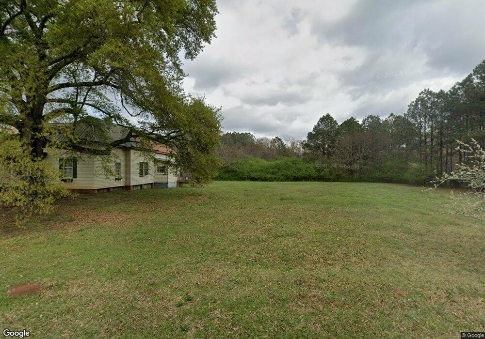
206 Maple St Stephens, GA 30667
Estimated Value: $196,145 - $296,000
3
Beds
2
Baths
2,008
Sq Ft
$121/Sq Ft
Est. Value
About This Home
This home is located at 206 Maple St, Stephens, GA 30667 and is currently estimated at $243,786, approximately $121 per square foot. 206 Maple St is a home with nearby schools including Oglethorpe County Primary School, Oglethorpe County Elementary School, and Oglethorpe County Middle School.
Ownership History
Date
Name
Owned For
Owner Type
Purchase Details
Closed on
Jan 24, 2025
Sold by
Helmly Hugh A
Bought by
Helmly John G
Current Estimated Value
Purchase Details
Closed on
Jul 9, 2004
Sold by
Aiken Margaret P
Bought by
Helmly Hugh A and Helml Patricia C
Purchase Details
Closed on
Mar 1, 1996
Sold by
Mashburn E Frank
Bought by
Aiken Margaret P
Create a Home Valuation Report for This Property
The Home Valuation Report is an in-depth analysis detailing your home's value as well as a comparison with similar homes in the area
Purchase History
| Date | Buyer | Sale Price | Title Company |
|---|---|---|---|
| Helmly John G | -- | -- | |
| Helmly Hugh A | -- | -- | |
| Helmly Hugh A | $100,000 | -- | |
| Aiken Margaret P | $64,500 | -- |
Source: Public Records
Tax History
| Year | Tax Paid | Tax Assessment Tax Assessment Total Assessment is a certain percentage of the fair market value that is determined by local assessors to be the total taxable value of land and additions on the property. | Land | Improvement |
|---|---|---|---|---|
| 2025 | $1,402 | $57,800 | $7,240 | $50,560 |
| 2024 | $1,366 | $56,440 | $5,480 | $50,960 |
| 2023 | $1,366 | $56,440 | $5,480 | $50,960 |
| 2022 | $1,226 | $46,640 | $5,480 | $41,160 |
| 2021 | $1,076 | $37,640 | $5,360 | $32,280 |
| 2020 | $821 | $37,640 | $5,360 | $32,280 |
| 2019 | $1,085 | $37,640 | $5,360 | $32,280 |
| 2018 | $907 | $30,051 | $3,229 | $26,822 |
| 2017 | $907 | $30,051 | $3,229 | $26,822 |
| 2016 | $887 | $30,052 | $3,229 | $26,822 |
| 2015 | -- | $30,052 | $3,229 | $26,822 |
| 2014 | -- | $30,052 | $3,229 | $26,822 |
| 2013 | -- | $30,051 | $3,229 | $26,822 |
Source: Public Records
Map
Nearby Homes
- 290 Poplar Creek Rd
- 0 Lovers Ln Unit 10690740
- 0 Lovers Ln Unit CL349036
- 181 Lower Wirebridge Rd
- 0 Lower Wirebridge Rd
- 1774 Union Point Rd
- 1500 Churchwell Rd
- 0 Bull Bray Rd
- 5011 Penfield Rd
- 1101 Boswell Rd
- 5971 Penfield Rd
- 0 Woodville Rd Unit 7667944
- 0 Woodville Rd Unit 10628010
- 1000 Nichols Rd
- 1091 Peachtree Ave E
- 0 Crawfordville Rd Unit 10674081
- 0 Crawfordville Rd Unit CL346865
- 0 Nichols Unit 26436706
- 119 Ralph Bridges Rd
- 0 Crawfordville Rd Unit 26194777
- 202 Maple St
- 0 Maple St
- 210 Maple St
- 156 Maple St
- 539 S Main St
- 539 Main St S
- 539 S Main St
- 212 Willow St
- 193 Cherry St
- 0 Willow St Unit 8349296
- 0 Willow St Unit Tract 3 8275987
- 0 Willow St Unit Tract 2 8275981
- 0 Willow St Unit CM925241
- 000 Willow St
- 0 Willow St Unit CM957745
- 0 Willow St Unit CM978482
- 0 Willow St Unit CM978481
- 0 Willow St Unit CM917741
- 0 Willow St Unit 973866
- 0 Willow St Unit 986896
Your Personal Tour Guide
Ask me questions while you tour the home.