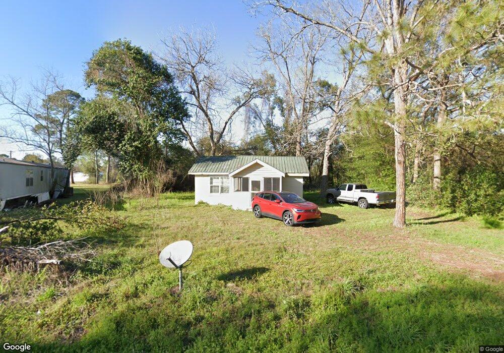
206 Martin Luther King jr Dr Sparks, GA 31647
Estimated Value: $63,235 - $123,000
--
Bed
--
Bath
560
Sq Ft
$158/Sq Ft
Est. Value
About This Home
This home is located at 206 Martin Luther King jr Dr, Sparks, GA 31647 and is currently estimated at $88,559, approximately $158 per square foot. 206 Martin Luther King jr Dr is a home located in Cook County with nearby schools including Cook Primary School, Cook Elementary School, and Cook County Middle School.
Ownership History
Date
Name
Owned For
Owner Type
Purchase Details
Closed on
Jun 3, 2016
Sold by
T & L Rentals Llc
Bought by
Bushay Ephraim
Current Estimated Value
Purchase Details
Closed on
Mar 18, 2009
Sold by
First Community Bank Of Tifton
Bought by
T & L Rentals Llc
Purchase Details
Closed on
Jan 24, 2005
Sold by
Way Jacqueline
Bought by
Way Jacqueline Belinda
Create a Home Valuation Report for This Property
The Home Valuation Report is an in-depth analysis detailing your home's value as well as a comparison with similar homes in the area
Home Values in the Area
Average Home Value in this Area
Purchase History
| Date | Buyer | Sale Price | Title Company |
|---|---|---|---|
| Bushay Ephraim | $7,975 | -- | |
| T & L Rentals Llc | $3,000 | -- | |
| Way Jacqueline Belinda | $58,335 | -- |
Source: Public Records
Tax History Compared to Growth
Tax History
| Year | Tax Paid | Tax Assessment Tax Assessment Total Assessment is a certain percentage of the fair market value that is determined by local assessors to be the total taxable value of land and additions on the property. | Land | Improvement |
|---|---|---|---|---|
| 2024 | $317 | $9,304 | $1,828 | $7,476 |
| 2023 | $215 | $7,988 | $1,632 | $6,356 |
| 2022 | $215 | $7,988 | $1,632 | $6,356 |
| 2021 | $194 | $6,728 | $1,632 | $5,096 |
| 2020 | $194 | $6,728 | $1,632 | $5,096 |
| 2019 | $194 | $6,728 | $1,632 | $5,096 |
| 2018 | $246 | $6,728 | $1,632 | $5,096 |
| 2017 | $92 | $6,728 | $1,632 | $5,096 |
| 2016 | $195 | $6,728 | $1,632 | $5,096 |
| 2015 | $195 | $6,728 | $1,632 | $5,096 |
| 2014 | $196 | $6,728 | $1,632 | $5,096 |
| 2013 | -- | $6,728 | $1,632 | $5,096 |
Source: Public Records
Map
Nearby Homes
- 103 N College St
- 134 Brandy Ct
- 120 Westover Dr
- 123 Westover Dr
- 703 N Elm St
- 105 Orchard Cir
- 284 Barrett Rd
- 1402 Bear Creek Rd
- 1306 Bear Creek Rd
- 4711 Highway 37
- 2302 Thomas St
- 2603 Dianne St
- 304 E 3rd St
- 2503 Dianne St
- 418 E 3rd St
- 701 Gloria St
- 315 Newton Dr
- 729 W 7th St
- 211 S Gordon Ave
- 507 S Poplar St
- 503 Alabama Ln
- 211 Alabama St
- 209 Alabama St
- 502 S College St
- 501 Alabama Ln
- 204 Alabama St
- 407 S College St
- 206 Alabama St
- 405 S College St
- 403 S College St
- 401 S College St
- 103 Broadleaf Ln
- 308 Anderson St
- 202 Alabama St
- 302 Anderson St
- 114 Alabama St
- 401 Martin Luther King jr Dr
- 602 S Goodman St
- 505 Joiner Ln
- 504 Washington St