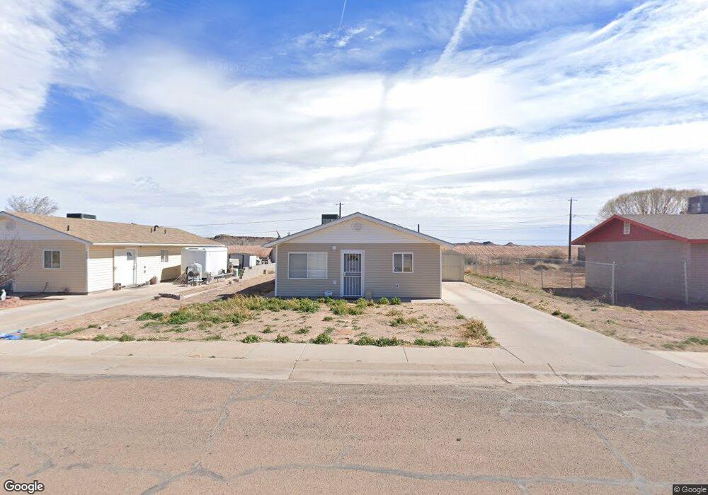
206 N 7th St Unit 1 Holbrook, AZ 86025
Estimated Value: $155,504 - $254,000
--
Bed
--
Bath
1,200
Sq Ft
$165/Sq Ft
Est. Value
About This Home
This home is located at 206 N 7th St Unit 1, Holbrook, AZ 86025 and is currently estimated at $198,376, approximately $165 per square foot. 206 N 7th St Unit 1 is a home located in Navajo County with nearby schools including Holbrook High School and Living Word Christian School.
Ownership History
Date
Name
Owned For
Owner Type
Purchase Details
Closed on
Dec 30, 2010
Sold by
Hoffman Nancy E
Bought by
Estridge Karen Elizabeth and Estridge Karen E
Current Estimated Value
Home Financials for this Owner
Home Financials are based on the most recent Mortgage that was taken out on this home.
Original Mortgage
$103,626
Interest Rate
4.74%
Mortgage Type
New Conventional
Purchase Details
Closed on
Aug 3, 2007
Sold by
Alley Ray J and Alley Rosa J
Bought by
Hoffman Tracy A
Home Financials for this Owner
Home Financials are based on the most recent Mortgage that was taken out on this home.
Original Mortgage
$85,600
Interest Rate
6.67%
Mortgage Type
New Conventional
Purchase Details
Closed on
Mar 14, 2007
Sold by
Karges Edward L and Karges Wanda T
Bought by
Alley Ray J and Alley Rosa J
Create a Home Valuation Report for This Property
The Home Valuation Report is an in-depth analysis detailing your home's value as well as a comparison with similar homes in the area
Home Values in the Area
Average Home Value in this Area
Purchase History
| Date | Buyer | Sale Price | Title Company |
|---|---|---|---|
| Estridge Karen Elizabeth | $100,000 | First American Title Insuran | |
| Hoffman Tracy A | $107,000 | First American Title | |
| Alley Ray J | $15,000 | First American Title |
Source: Public Records
Mortgage History
| Date | Status | Borrower | Loan Amount |
|---|---|---|---|
| Previous Owner | Estridge Karen Elizabeth | $103,626 | |
| Previous Owner | Hoffman Tracy A | $85,600 |
Source: Public Records
Tax History Compared to Growth
Tax History
| Year | Tax Paid | Tax Assessment Tax Assessment Total Assessment is a certain percentage of the fair market value that is determined by local assessors to be the total taxable value of land and additions on the property. | Land | Improvement |
|---|---|---|---|---|
| 2026 | $892 | -- | -- | -- |
| 2025 | $843 | $14,311 | $506 | $13,805 |
| 2024 | $799 | $13,900 | $637 | $13,263 |
| 2023 | $843 | $10,765 | $637 | $10,128 |
| 2022 | $799 | $0 | $0 | $0 |
| 2021 | $803 | $0 | $0 | $0 |
| 2020 | $774 | $0 | $0 | $0 |
| 2019 | $733 | $0 | $0 | $0 |
| 2018 | $661 | $0 | $0 | $0 |
| 2017 | $611 | $0 | $0 | $0 |
| 2016 | $644 | $0 | $0 | $0 |
| 2015 | $617 | $6,234 | $455 | $5,779 |
Source: Public Records
Map
Nearby Homes
- 192 N 7th St
- TBD Bucket of Blood St Unit 8
- 0 Bucket of Blood St
- 404 Navajo Blvd
- 0 105-61-405 Az Rancho 106 Unit 254845
- 0 Ariz Rancho #85 Lots 005 & 024 Unit 258777
- 0 105-60-382 Az Rancho 102 Unit 254692
- 311 W Hopi Dr
- 362 N 5th Ave
- 147-US U S 180
- 1210 W Greer Ave
- 1219 W Florida St
- 0 W Arizona St Unit 6909715
- 109 Encanto Dr
- 113 Encanto Dr
- 0 Navajo Blvd Unit 255061
- 406 Encanto Dr
- 1710 Hill Rd
- 424 Encanto Dr
- 1203 Heywood Ave