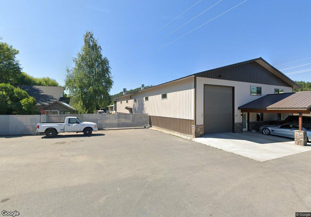
206 N Division St Pinehurst, ID 83850
Estimated Value: $632,844
Studio
--
Bath
9,010
Sq Ft
$70/Sq Ft
Est. Value
About This Home
This home is located at 206 N Division St, Pinehurst, ID 83850 and is currently estimated at $632,844, approximately $70 per square foot. 206 N Division St is a home located in Shoshone County with nearby schools including Pinehurst Elementary School, Kellogg Middle School, and Kellogg High School.
Ownership History
Date
Name
Owned For
Owner Type
Purchase Details
Closed on
Jul 26, 2022
Sold by
Oertli Holdings Llc
Bought by
Oertli Jeramie and Oertli Jennifer P
Current Estimated Value
Purchase Details
Closed on
Apr 28, 2022
Sold by
Jutila Robert K and Jutila Amy S
Bought by
Oertli Holdings Llc
Home Financials for this Owner
Home Financials are based on the most recent Mortgage that was taken out on this home.
Original Mortgage
$675,000
Interest Rate
5.1%
Mortgage Type
New Conventional
Create a Home Valuation Report for This Property
The Home Valuation Report is an in-depth analysis detailing your home's value as well as a comparison with similar homes in the area
Home Values in the Area
Average Home Value in this Area
Purchase History
| Date | Buyer | Sale Price | Title Company |
|---|---|---|---|
| Oertli Jeramie | -- | First American Title | |
| Oertli Holdings Llc | -- | First American Title |
Source: Public Records
Mortgage History
| Date | Status | Borrower | Loan Amount |
|---|---|---|---|
| Previous Owner | Oertli Holdings Llc | $675,000 |
Source: Public Records
Tax History
| Year | Tax Paid | Tax Assessment Tax Assessment Total Assessment is a certain percentage of the fair market value that is determined by local assessors to be the total taxable value of land and additions on the property. | Land | Improvement |
|---|---|---|---|---|
| 2025 | $5,400 | $737,080 | $62,103 | $674,977 |
| 2024 | $5,854 | $737,080 | $62,103 | $674,977 |
| 2023 | $5,854 | $711,428 | $56,437 | $654,991 |
| 2022 | $3,755 | $375,854 | $53,984 | $321,870 |
| 2021 | $4,660 | $328,963 | $49,076 | $279,887 |
| 2020 | $3,773 | $260,214 | $44,614 | $215,600 |
| 2019 | $4,428 | $281,774 | $44,614 | $237,160 |
| 2018 | $4,699 | $260,214 | $44,614 | $215,600 |
| 2017 | $4,606 | $260,214 | $44,614 | $215,600 |
| 2016 | $4,727 | $260,214 | $44,614 | $215,600 |
| 2015 | -- | $274,504 | $44,614 | $229,890 |
| 2014 | -- | $274,504 | $44,614 | $229,890 |
Source: Public Records
Map
Nearby Homes
- 207 S Division St
- 301 Woodland Dr
- 6 Maple Ave
- 502 Wyoming Ave
- 208 S 6th St
- 99 Lookout Peak Dr
- 1 Elsie Peak Ct Unit B1, BLDG B
- 608 Country Club Ln
- 202 Silver Saddle Ct
- 754 Paradise Ln
- 483 Paradise Ln
- 14 Lilac Ave
- 113 Trail Blazer Ct
- 0 Lot J Frosty Ln Unit 25-9282
- 111 Trail Blazer Ct
- NNA Frosty Lane Lot I
- 207 Palamino Ct
- 203 Palomino
- 205 Old Farm Rd
- 140 Wright
- 202 N Division St
- 202 N Division St
- 305 Hawthorne Dr
- 303 Hawthorne Dr
- 401 Hawthorne Dr
- 405 S Division St
- 401 S Division St
- 404 Hawthorne Dr
- 306 Country Club Ln
- 204 Country Club Ln
- 412 N Division St
- 403 Hawthorne Dr
- 403 Hawthorne St
- 309 S Division St
- 304 Sunset Dr
- 302 Sunset Dr
- 306 Sunset Dr
- 406 Hawthorne Dr
- 212 Sunset Dr
- 409 S Division St
Your Personal Tour Guide
Ask me questions while you tour the home.