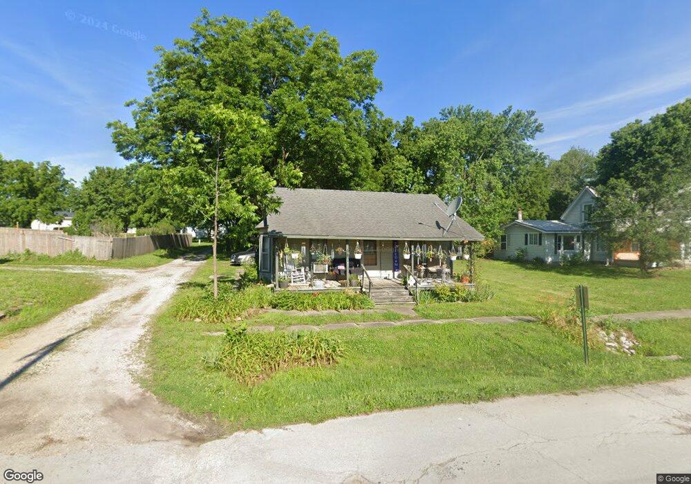
206 N Main St Centerview, MO 64019
Estimated Value: $55,000 - $219,000
Studio
--
Bath
1,036
Sq Ft
$112/Sq Ft
Est. Value
About This Home
This home is located at 206 N Main St, Centerview, MO 64019 and is currently estimated at $115,652, approximately $111 per square foot. 206 N Main St is a home located in Johnson County with nearby schools including Crest Ridge Elementary School, Crest Ridge High School, and Johnson County Christian Academy.
Ownership History
Date
Name
Owned For
Owner Type
Purchase Details
Closed on
Oct 19, 2017
Sold by
Dines William C and Phillips Susan M
Bought by
City Of Centerview
Current Estimated Value
Purchase Details
Closed on
Feb 17, 2005
Sold by
Matthews Robert Gregory
Bought by
Matthews Carol Ann
Home Financials for this Owner
Home Financials are based on the most recent Mortgage that was taken out on this home.
Original Mortgage
$32,400
Interest Rate
5.82%
Mortgage Type
Credit Line Revolving
Create a Home Valuation Report for This Property
The Home Valuation Report is an in-depth analysis detailing your home's value as well as a comparison with similar homes in the area
Purchase History
| Date | Buyer | Sale Price | Title Company |
|---|---|---|---|
| City Of Centerview | -- | None Available | |
| Matthews Carol Ann | -- | Johnson County Title Company |
Source: Public Records
Mortgage History
| Date | Status | Borrower | Loan Amount |
|---|---|---|---|
| Previous Owner | Matthews Carol Ann | $32,400 |
Source: Public Records
Tax History
| Year | Tax Paid | Tax Assessment Tax Assessment Total Assessment is a certain percentage of the fair market value that is determined by local assessors to be the total taxable value of land and additions on the property. | Land | Improvement |
|---|---|---|---|---|
| 2025 | $304 | $4,259 | $0 | $0 |
| 2024 | $300 | $3,902 | $0 | $0 |
| 2023 | $300 | $3,902 | $0 | $0 |
| 2022 | $288 | $3,737 | $0 | $0 |
| 2021 | $286 | $3,737 | $0 | $0 |
| 2020 | $276 | $3,573 | $0 | $0 |
| 2019 | $266 | $3,493 | $0 | $0 |
| 2017 | $252 | $3,493 | $0 | $0 |
| 2016 | $258 | $3,493 | $0 | $0 |
| 2015 | $256 | $3,493 | $0 | $0 |
| 2014 | -- | $3,493 | $0 | $0 |
Source: Public Records
Map
Nearby Homes
- 65 SW 150th Rd
- 66 SW 150th Rd
- 000 SW 100th Rd
- 52 401st (South 65) Rd
- TBD Lot 7 491st Rd
- 0 Tbd Lot 2 491st Rd
- 26 SW 491st Rd
- 52 401st (North 65) Rd
- 64 SW 401st Rd
- 507 NW 165th Rd
- 786 NW 100th Rd
- 245 SW 400th Rd
- TBD NW 361st Rd
- 412 NW 701st Rd
- 120 NW 191 Rd
- 125 NW 171 Rd
- 734 Iron Horse Dr
- 733 Burlington Rd
- 708 Burlington Rd
- 704 Mahogany Ct
- 210 N Main St
- 105 N Depot St W
- 202 N Main St
- 209 N Main St
- 105 N Depot N A
- 211 N Graham St
- 213 N Main St
- 201 N Main St
- 217 N Graham St
- 101 N Main St
- 111 E Spring St
- 300 N Main St
- 206 N Graham St
- 208 N Graham St
- 109 NW Depot St Unit W
- 109 NW Depot St Unit E
- 109 NW Depot St
- 301 N Main St
- 109 W Spring St
- 37 NW 219 Rd
Your Personal Tour Guide
Ask me questions while you tour the home.