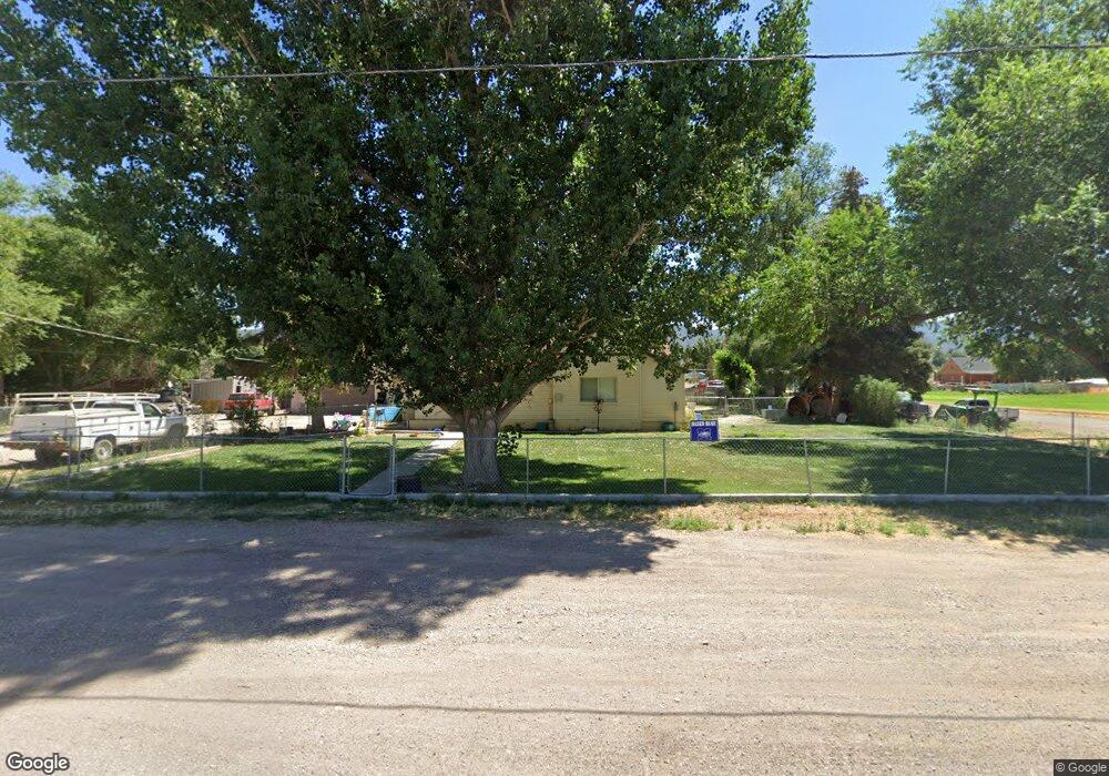
206 N State St Scipio, UT 84656
Estimated Value: $256,000 - $309,000
Studio
--
Bath
--
Sq Ft
51,836
Sq Ft Lot
About This Home
This home is located at 206 N State St, Scipio, UT 84656 and is currently estimated at $285,031. 206 N State St is a home.
Ownership History
Date
Name
Owned For
Owner Type
Purchase Details
Closed on
Feb 17, 2021
Sold by
Monroe Austin V
Bought by
Monroe Austin V and Monroe Kaylynn
Current Estimated Value
Home Financials for this Owner
Home Financials are based on the most recent Mortgage that was taken out on this home.
Original Mortgage
$97,200
Outstanding Balance
$86,660
Interest Rate
2.65%
Mortgage Type
New Conventional
Estimated Equity
$198,371
Purchase Details
Closed on
Mar 31, 2017
Sold by
Schena Patricia Sue
Bought by
Monroe Austin V
Home Financials for this Owner
Home Financials are based on the most recent Mortgage that was taken out on this home.
Original Mortgage
$101,010
Interest Rate
4.15%
Mortgage Type
New Conventional
Create a Home Valuation Report for This Property
The Home Valuation Report is an in-depth analysis detailing your home's value as well as a comparison with similar homes in the area
Purchase History
| Date | Buyer | Sale Price | Title Company |
|---|---|---|---|
| Monroe Austin V | -- | Eagle Gate Title Insurance A | |
| Monroe Austin V | -- | First American Title |
Source: Public Records
Mortgage History
| Date | Status | Borrower | Loan Amount |
|---|---|---|---|
| Open | Monroe Austin V | $97,200 | |
| Closed | Monroe Austin V | $101,010 |
Source: Public Records
Tax History
| Year | Tax Paid | Tax Assessment Tax Assessment Total Assessment is a certain percentage of the fair market value that is determined by local assessors to be the total taxable value of land and additions on the property. | Land | Improvement |
|---|---|---|---|---|
| 2025 | $1,088 | $138,857 | $32,675 | $106,182 |
| 2024 | $1,088 | $135,091 | $31,517 | $103,574 |
| 2023 | $1,237 | $135,091 | $31,517 | $103,574 |
| 2022 | $1,139 | $104,497 | $31,516 | $72,981 |
| 2021 | $1,097 | $96,575 | $23,345 | $73,230 |
| 2020 | $1,009 | $89,429 | $20,300 | $69,129 |
| 2019 | $926 | $82,399 | $20,300 | $62,099 |
| 2018 | $866 | $78,884 | $20,300 | $58,584 |
| 2017 | $906 | $78,884 | $20,300 | $58,584 |
| 2016 | $652 | $59,048 | $19,147 | $39,901 |
| 2015 | $653 | $59,048 | $19,147 | $39,901 |
| 2014 | -- | $56,551 | $16,650 | $39,901 |
| 2013 | -- | $56,551 | $16,650 | $39,901 |
Source: Public Records
Map
Nearby Homes
- 85 E 200 Rd N
- 240 W 300 North Rd
- 40 S State St
- 7 N 200 W
- 2000 N 500 W
- 13051 Red Canyon Rd Unit 3
- Mecham Rd
- 575 N Deer Meadow Dr
- 445 S Main St
- 405 S 100 East St Unit 4
- 400 S 100 East St Unit 5
- 164 W 200 North Rd
- Parcel 4609 4609x1 4609x2
- 66 W 100 S
- 41 N 450 W
- 117 E 300 S
- 36 W 100 S
- 21 N 450 W
- 80 N 400 W
- 340 E 300 S
- 240 N State St
- 65 E E 200 North St St
- 245 N State St
- 63 E 200 S
- 205 N State St
- 275 N State St
- 195 N State St
- 280 N State St
- 175 E 200 S
- 95 E E 200 North St St
- 285 N State St
- 360 N State St
- 275 W 100 North St
- 295 N State St
- 140 N State St
- 306 N State St
- 95 W 200 N
- 55 E 300 Rd N
- 190 N 100 Rd E
- 105 E 100 North St E
Your Personal Tour Guide
Ask me questions while you tour the home.