Estimated Value: $1,090,000 - $1,239,000
4
Beds
3
Baths
2,704
Sq Ft
$419/Sq Ft
Est. Value
About This Home
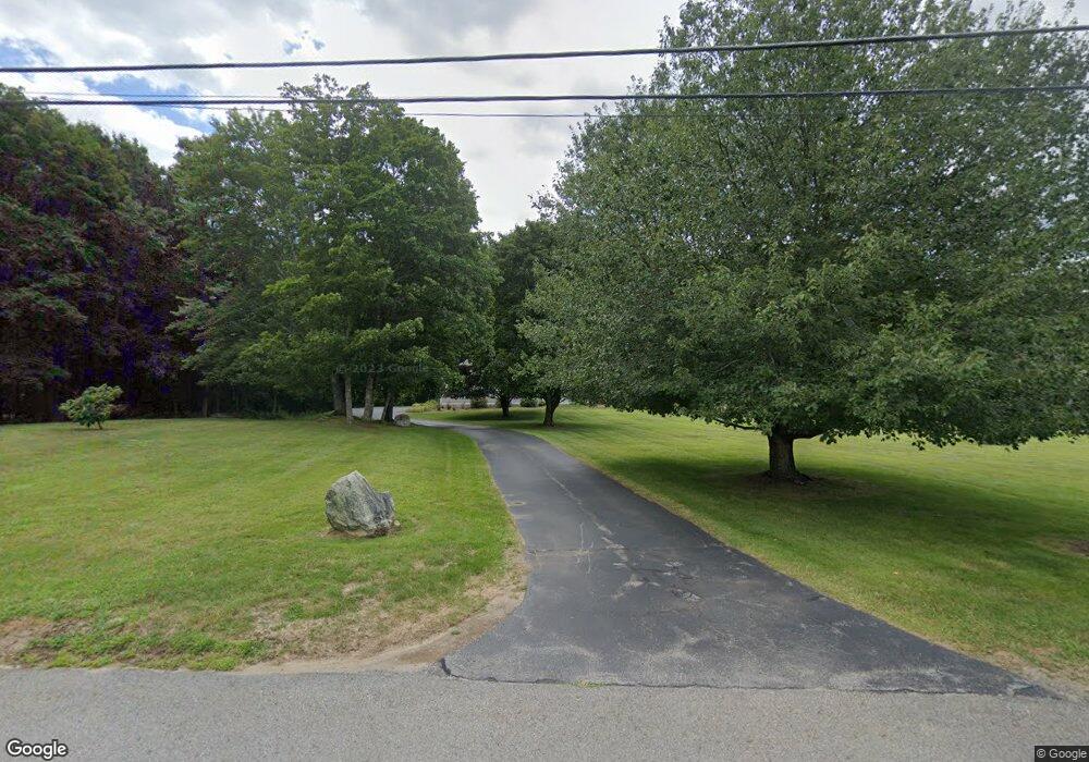
This home is located at 206 Nagog Hill Rd, Acton, MA 01720 and is currently estimated at $1,133,523, approximately $419 per square foot. 206 Nagog Hill Rd is a home located in Middlesex County with nearby schools including Acton-Boxborough Regional High School and Oak Meadow Montessori School.
Ownership History
Date
Name
Owned For
Owner Type
Purchase Details
Closed on
Mar 12, 2025
Sold by
Smith Raoul N and Smith Mary H
Bought by
Mary H Smith Ret and Smith
Current Estimated Value
Purchase Details
Closed on
Sep 17, 1981
Bought by
Smith Raoul N
Create a Home Valuation Report for This Property
The Home Valuation Report is an in-depth analysis detailing your home's value as well as a comparison with similar homes in the area
Home Values in the Area
Average Home Value in this Area
Purchase History
| Date | Buyer | Sale Price | Title Company |
|---|---|---|---|
| Mary H Smith Ret | -- | None Available | |
| Mary H Smith Ret | -- | None Available | |
| Smith Raoul N | -- | -- |
Source: Public Records
Mortgage History
| Date | Status | Borrower | Loan Amount |
|---|---|---|---|
| Previous Owner | Smith Raoul N | $50,000 | |
| Previous Owner | Smith Raoul N | $82,000 |
Source: Public Records
Tax History Compared to Growth
Tax History
| Year | Tax Paid | Tax Assessment Tax Assessment Total Assessment is a certain percentage of the fair market value that is determined by local assessors to be the total taxable value of land and additions on the property. | Land | Improvement |
|---|---|---|---|---|
| 2025 | $16,353 | $953,500 | $388,100 | $565,400 |
| 2024 | $15,536 | $932,000 | $388,100 | $543,900 |
| 2023 | $15,146 | $862,500 | $352,900 | $509,600 |
| 2022 | $14,335 | $737,000 | $307,300 | $429,700 |
| 2021 | $13,977 | $690,900 | $284,100 | $406,800 |
| 2020 | $13,389 | $695,900 | $284,100 | $411,800 |
| 2019 | $12,821 | $661,900 | $284,100 | $377,800 |
| 2018 | $12,597 | $650,000 | $284,100 | $365,900 |
| 2017 | $12,275 | $644,000 | $284,100 | $359,900 |
| 2016 | $12,296 | $639,400 | $284,100 | $355,300 |
| 2015 | $11,821 | $620,500 | $284,100 | $336,400 |
| 2014 | $11,429 | $587,600 | $284,100 | $303,500 |
Source: Public Records
Map
Nearby Homes
- 524 Main St
- 159 Skyline Dr Unit 159
- 709 Main St
- 491 Main St
- 23 John Swift Rd
- 388 Great Rd Unit B14
- 386 Great Rd Unit A8
- 390 Great Rd Unit A2
- 420 Great Rd Unit B3
- 9 Breezy Point Rd
- 484 Great Rd
- 484 Great Rd
- 407 Great Rd Unit 9
- 484 Great Road -3
- 484 Great Road -4
- 484 Great Road -6
- 405 Great Elm Way
- 237 Brown Bear Crossing Unit 237
- 140 Butternut Hollow Unit 140
- 1 Quarry Rd
- 216 Nagog Hill Rd
- 217 Nagog Hill Rd
- 200 Nagog Hill Rd
- 7 Long Ridge Rd
- 226 Nagog Hill Rd
- 203 Nagog Hill Rd
- 11 Long Ridge Rd
- 5 Long Ridge Rd
- 199 Nagog Hill Rd
- 2 Long Ridge Rd
- 4 Long Ridge Rd
- 8 Long Ridge Rd
- 2 Sutton Place
- 183 Nagog Hill Rd
- 10 Long Ridge Rd
- 15 Long Ridge Rd
- 6 Long Ridge Rd
- 14 Long Ridge Rd
- 184 Nagog Hill Rd
- 195 Nagog Hill Rd