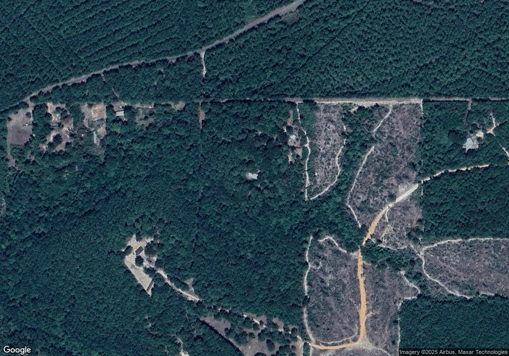
206 Null Ln Leesville, LA 71446
Estimated Value: $96,000 - $191,891
3
Beds
2
Baths
1,270
Sq Ft
$106/Sq Ft
Est. Value
About This Home
This home is located at 206 Null Ln, Leesville, LA 71446 and is currently estimated at $135,223, approximately $106 per square foot. 206 Null Ln is a home located in Vernon Parish.
Ownership History
Date
Name
Owned For
Owner Type
Purchase Details
Closed on
Jan 19, 2024
Sold by
Sanders Daniel Lynn and Sanders Natasha M
Bought by
Hudson Donna and Hudson Will Elmer
Current Estimated Value
Home Financials for this Owner
Home Financials are based on the most recent Mortgage that was taken out on this home.
Original Mortgage
$85,525
Outstanding Balance
$83,735
Interest Rate
7.03%
Mortgage Type
New Conventional
Estimated Equity
$51,488
Purchase Details
Closed on
Oct 5, 2010
Sold by
Bass Lance and Bass Glenda H
Bought by
Sanders Daniel Lyn and Sanders Natasha M
Home Financials for this Owner
Home Financials are based on the most recent Mortgage that was taken out on this home.
Original Mortgage
$86,827
Interest Rate
4.38%
Mortgage Type
VA
Create a Home Valuation Report for This Property
The Home Valuation Report is an in-depth analysis detailing your home's value as well as a comparison with similar homes in the area
Purchase History
| Date | Buyer | Sale Price | Title Company |
|---|---|---|---|
| Hudson Donna | $82,500 | First American Title | |
| Sanders Daniel Lyn | $85,000 | -- |
Source: Public Records
Mortgage History
| Date | Status | Borrower | Loan Amount |
|---|---|---|---|
| Open | Hudson Donna | $85,525 | |
| Previous Owner | Sanders Daniel Lyn | $86,827 |
Source: Public Records
Tax History
| Year | Tax Paid | Tax Assessment Tax Assessment Total Assessment is a certain percentage of the fair market value that is determined by local assessors to be the total taxable value of land and additions on the property. | Land | Improvement |
|---|---|---|---|---|
| 2025 | $1,102 | $9,690 | $1,870 | $7,820 |
| 2024 | $1,112 | $9,690 | $1,870 | $7,820 |
| 2023 | $1,024 | $8,960 | $1,700 | $7,260 |
| 2022 | $1,007 | $8,960 | $1,700 | $7,260 |
| 2021 | $1,073 | $8,960 | $1,700 | $7,260 |
| 2020 | $1,110 | $8,960 | $1,700 | $7,260 |
| 2019 | $1,142 | $8,960 | $1,700 | $7,260 |
| 2018 | $1,137 | $8,960 | $1,700 | $7,260 |
| 2017 | $1,138 | $8,960 | $1,700 | $7,260 |
| 2015 | $1,040 | $8,390 | $1,130 | $7,260 |
| 2014 | $1,076 | $8,390 | $1,130 | $7,260 |
| 2013 | $1,096 | $8,390 | $1,130 | $7,260 |
Source: Public Records
Map
Nearby Homes
- 281 Methodist Landing Rd
- 149 Methodist Landing Rd
- 0 Tbd Hwy 8 & 464 Unit 29-1650
- 0 Lot 7 Woodland Park Phase III Unit 29-1652
- 0 Hwy 8 & 464 Hwy Unit SWL22004749
- 0 Nichols Rd
- 115 Deerhunter Ln
- 1976 Savage Forks Rd
- 728 Section Line Rd
- 4450 Camp Baker Rd
- 0 Tbd B and G Loop Unit 29-2182
- TBD B and G Loop
- 147 Blackmon Rd
- 0 Woods Rd Unit RD
- 0 Savage Forks Tract 1 Unit 2-6249
- 0 Savage Forks Tract 2 Unit Tract 2
- 1109 Nicholas Dr
- 116 Franklin St
- 708 Woodland Dr
- 710 Woodland Dr
- TBD Lunkers Cove Rd
- 0 Lunkers Cove Rd
- 589 Vfw Landing Rd
- 366 Lunkers Cove
- 442 Lunkers Cove Rd
- 521 Vfw Landing Rd
- 209 Hood Cove Ln
- 537 Vfw Landing Rd
- 366 Lunkers Cove Rd
- 266 Lunkers Cove Rd
- 456 Lunkers Cove Rd
- 392 Lunkers Cove Rd
- 278 Country Living Ln
- 428 Lunkers Cove Rd
- 440 Lunkers Cove Rd
- 298 Country Living Ln
- 322 Claude Spillers Rd
- 290 Claude Spillers Rd
- 224 Claude Spillers Rd
- 182 Claude Spillers Rd
