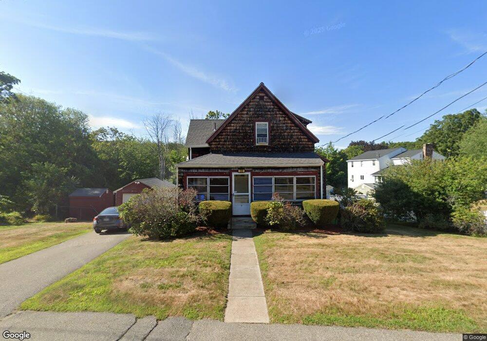
206 Oak St Wakefield, MA 01880
Woodville NeighborhoodEstimated Value: $615,000 - $656,000
2
Beds
2
Baths
1,326
Sq Ft
$481/Sq Ft
Est. Value
About This Home
This home is located at 206 Oak St, Wakefield, MA 01880 and is currently estimated at $637,361, approximately $480 per square foot. 206 Oak St is a home located in Middlesex County with nearby schools including Wakefield Memorial High School, St Joseph School, and Odyssey Day School.
Ownership History
Date
Name
Owned For
Owner Type
Purchase Details
Closed on
Apr 20, 2010
Sold by
Joseph G Bourque Lt
Bought by
Gallucci Lauren E
Current Estimated Value
Home Financials for this Owner
Home Financials are based on the most recent Mortgage that was taken out on this home.
Original Mortgage
$200,000
Outstanding Balance
$133,009
Interest Rate
4.97%
Mortgage Type
Purchase Money Mortgage
Estimated Equity
$504,352
Purchase Details
Closed on
Oct 1, 2007
Sold by
Bourque Joseph G
Bought by
Joseph G Bourque Lt
Create a Home Valuation Report for This Property
The Home Valuation Report is an in-depth analysis detailing your home's value as well as a comparison with similar homes in the area
Home Values in the Area
Average Home Value in this Area
Purchase History
| Date | Buyer | Sale Price | Title Company |
|---|---|---|---|
| Gallucci Lauren E | $277,000 | -- | |
| Joseph G Bourque Lt | -- | -- |
Source: Public Records
Mortgage History
| Date | Status | Borrower | Loan Amount |
|---|---|---|---|
| Open | Gallucci Lauren E | $200,000 |
Source: Public Records
Tax History Compared to Growth
Tax History
| Year | Tax Paid | Tax Assessment Tax Assessment Total Assessment is a certain percentage of the fair market value that is determined by local assessors to be the total taxable value of land and additions on the property. | Land | Improvement |
|---|---|---|---|---|
| 2025 | $6,065 | $534,400 | $383,900 | $150,500 |
| 2024 | $5,735 | $509,800 | $365,800 | $144,000 |
| 2023 | $5,754 | $490,500 | $351,600 | $138,900 |
| 2022 | $5,556 | $451,000 | $322,600 | $128,400 |
| 2021 | $5,073 | $398,500 | $280,000 | $118,500 |
| 2020 | $4,836 | $378,700 | $266,100 | $112,600 |
| 2019 | $4,688 | $365,400 | $256,800 | $108,600 |
| 2018 | $4,377 | $338,000 | $245,300 | $92,700 |
| 2017 | $4,155 | $318,900 | $231,400 | $87,500 |
| 2016 | $3,846 | $285,100 | $205,100 | $80,000 |
| 2015 | $3,772 | $279,800 | $201,100 | $78,700 |
| 2014 | $3,508 | $274,500 | $197,200 | $77,300 |
Source: Public Records
Map
Nearby Homes
- 8 Everett St
- 70 Old Nahant Rd
- 6 Castle Clare Cir
- 9 Lilah Cir
- 199 Nahant St
- 18 Crosby Rd
- 95 Greenwood Ave
- 134 Nahant St Unit B
- 1 Sidney St
- 1 Millbrook Ln Unit 304
- 762 Main St
- 772 Main St Unit 2
- 5 Bateman Ct Unit 5
- 38 Bennett St Unit 3D
- 14 Sycamore Rd
- 314 Water St Unit 5
- 3 Hickory Hill Rd Unit 1
- 22 Jefferson Rd
- 6 Blue Jay Cir Unit 2
- 24 Myrtle Ave
- 10 Meadow View Rd Unit 10
- 3 Meadow View Rd Unit 3
- 202 Oak St
- 210 Oak St
- 205 Oak St
- 8 Meadow View Rd
- 201 Oak St
- 209 Oak St
- 198 Oak St
- 9 Meadow View Rd Unit 2
- 12 Meadow View Rd
- 12 Meadow View Rd Unit 2, 12
- 197 Oak St
- 7 Meadow View Rd
- 216 Oak St
- 43 Reynolds Rd
- 43 Reynolds Rd
- 16 Meadow View Rd
- 215 Oak St
- 193 Oak St