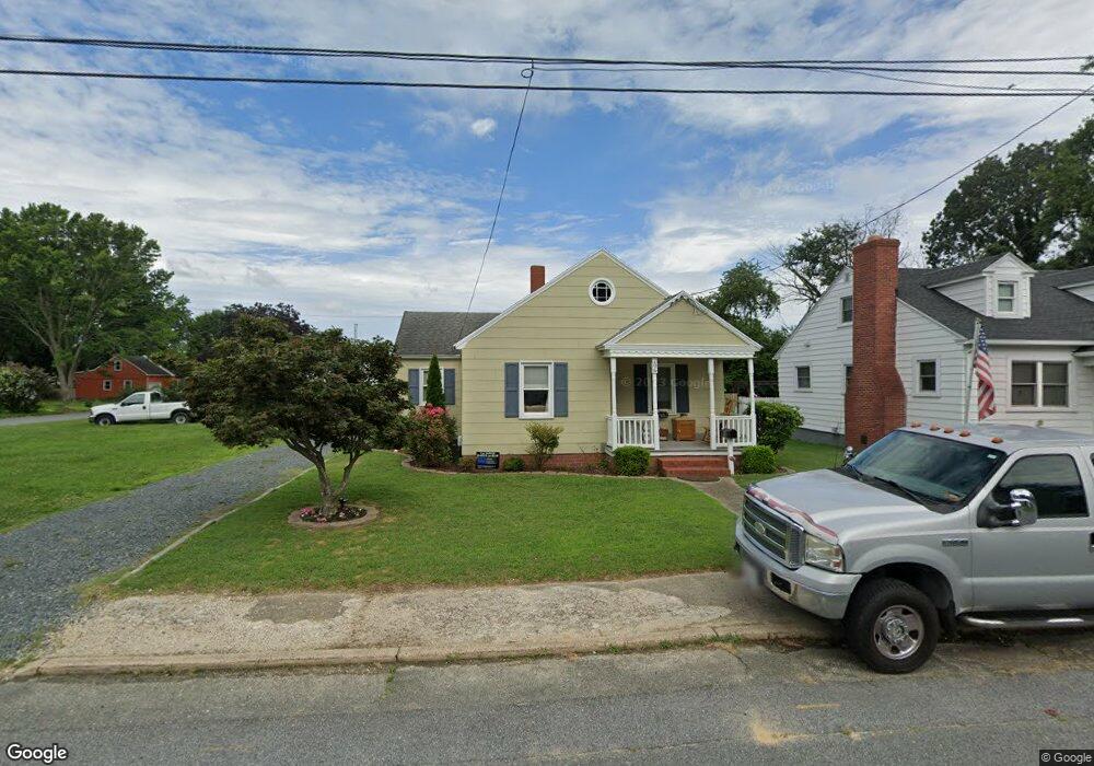
206 Payne Ave Pocomoke City, MD 21851
Estimated Value: $154,000 - $210,000
--
Bed
1
Bath
830
Sq Ft
$217/Sq Ft
Est. Value
About This Home
This home is located at 206 Payne Ave, Pocomoke City, MD 21851 and is currently estimated at $180,081, approximately $216 per square foot. 206 Payne Ave is a home located in Worcester County with nearby schools including Pocomoke Elementary School, Pocomoke Middle School, and Pocomoke High School.
Ownership History
Date
Name
Owned For
Owner Type
Purchase Details
Closed on
Mar 19, 1996
Sold by
Butler Marion L and Butler Rebecca H
Bought by
Linda Layton
Current Estimated Value
Purchase Details
Closed on
Mar 28, 1990
Sold by
Leister Mary Lee
Bought by
Butler Marion L and Butler Rebecca H
Home Financials for this Owner
Home Financials are based on the most recent Mortgage that was taken out on this home.
Original Mortgage
$30,000
Interest Rate
10.26%
Create a Home Valuation Report for This Property
The Home Valuation Report is an in-depth analysis detailing your home's value as well as a comparison with similar homes in the area
Home Values in the Area
Average Home Value in this Area
Purchase History
| Date | Buyer | Sale Price | Title Company |
|---|---|---|---|
| Linda Layton | $37,000 | -- | |
| Butler Marion L | $33,500 | -- |
Source: Public Records
Mortgage History
| Date | Status | Borrower | Loan Amount |
|---|---|---|---|
| Previous Owner | Butler Marion L | $30,000 |
Source: Public Records
Tax History Compared to Growth
Tax History
| Year | Tax Paid | Tax Assessment Tax Assessment Total Assessment is a certain percentage of the fair market value that is determined by local assessors to be the total taxable value of land and additions on the property. | Land | Improvement |
|---|---|---|---|---|
| 2025 | $2,372 | $115,800 | $43,200 | $72,600 |
| 2024 | $2,205 | $106,100 | $0 | $0 |
| 2023 | $2,003 | $96,400 | $0 | $0 |
| 2022 | $1,802 | $86,700 | $43,200 | $43,500 |
| 2021 | $1,807 | $86,533 | $0 | $0 |
| 2020 | $1,803 | $86,367 | $0 | $0 |
| 2019 | $1,800 | $86,200 | $43,200 | $43,000 |
| 2018 | $1,757 | $84,967 | $0 | $0 |
| 2017 | $1,740 | $83,733 | $0 | $0 |
| 2016 | -- | $82,500 | $0 | $0 |
| 2015 | $1,423 | $82,500 | $0 | $0 |
| 2014 | $1,423 | $82,500 | $0 | $0 |
Source: Public Records
Map
Nearby Homes
- 1411 Cedar Run
- 1403 Linden Dr
- 1410 Cedar Run
- 1408 Cedar Run
- 1406 Cedar Run
- 1401 Cedar Run
- 8 14th St
- 17 Somerset Ave
- 1400 Cedar St
- 607 Hillcrest Dr
- 1714 Cedar St
- 0 Worcester Hwy
- 1012 Market St
- 243 Morgans Ct
- 2110 Southern Fields Dr
- Parcel 2 10th St
- 903 Market St
- 902 Cedar St
- 833 White Oaks Ln
- 710 Market St
- 204 Payne Ave
- 1515 Linden Dr
- 202 Payne Ave
- 209 Payne Ave
- 207 Payne Ave
- 1516 Princess Anne Ln
- 200 Payne Ave
- 1513 Linden Dr
- 203 Payne Ave
- 213 Payne Ave
- 1514 Princess Anne Ln
- 208 Payne Ave
- 1511 Linden Dr
- 1512 Princess Anne Ln
- 109 Payne Ave
- 108 Payne Ave
- 1519 Market St
- 1509 Linden Dr
- 1510 Linden Dr
- 1601 Market St